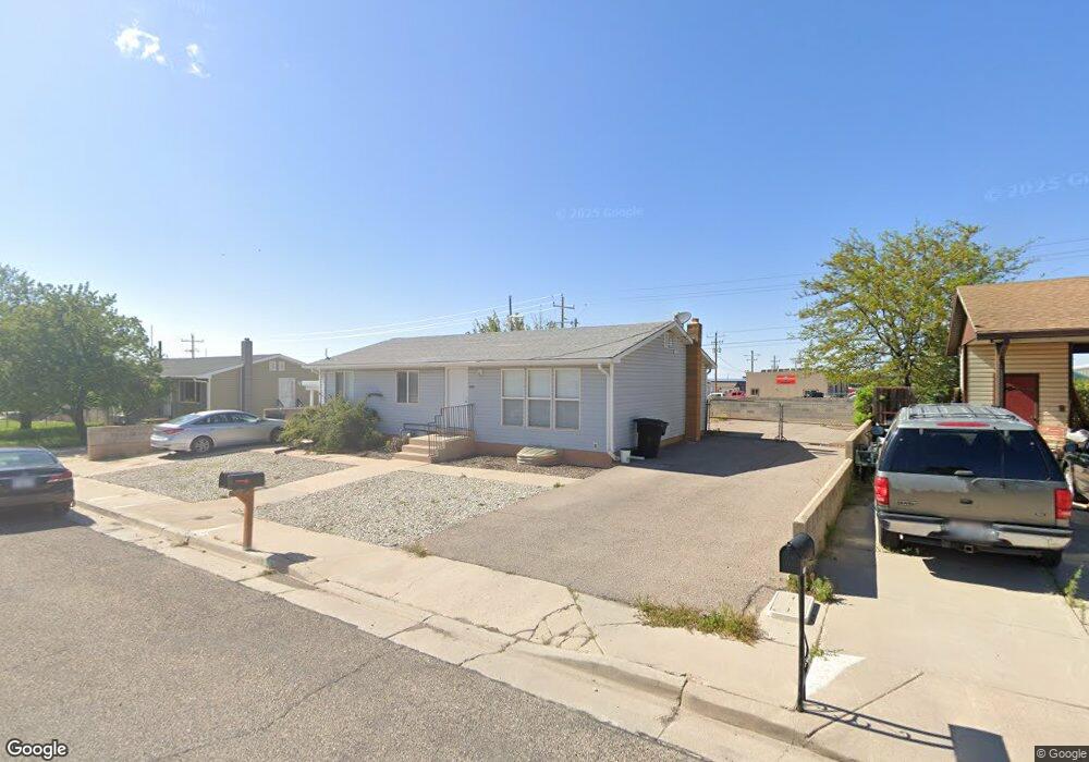
1060 Lunt Cir Cedar City, UT 84721
Estimated Value: $348,056 - $393,000
--
Bed
1
Bath
1,232
Sq Ft
$299/Sq Ft
Est. Value
About This Home
This home is located at 1060 Lunt Cir, Cedar City, UT 84721 and is currently estimated at $368,264, approximately $298 per square foot. 1060 Lunt Cir is a home located in Iron County with nearby schools including Cedar North School, Cedar Middle School, and Cedar City High School.
Ownership History
Date
Name
Owned For
Owner Type
Purchase Details
Closed on
Apr 22, 2022
Sold by
Cook Koi D
Bought by
K & M Estates Llc
Current Estimated Value
Purchase Details
Closed on
Oct 2, 2020
Sold by
Cook Koi
Bought by
Cook Koi D and Cook Kimberly M
Home Financials for this Owner
Home Financials are based on the most recent Mortgage that was taken out on this home.
Original Mortgage
$181,500
Interest Rate
2.9%
Mortgage Type
New Conventional
Purchase Details
Closed on
Jan 8, 2020
Sold by
Holm Carlene and The Thomas Kelly Dalton Family
Bought by
Cook Koi D and Cook Kimberly M
Home Financials for this Owner
Home Financials are based on the most recent Mortgage that was taken out on this home.
Original Mortgage
$175,750
Interest Rate
2.9%
Mortgage Type
Commercial
Purchase Details
Closed on
Jan 4, 2020
Sold by
Kelly Thomas and Dalton Thomas K
Bought by
Dalton Thomas Kelly and Thomas Kelly Dalton Family Tru
Home Financials for this Owner
Home Financials are based on the most recent Mortgage that was taken out on this home.
Original Mortgage
$175,750
Interest Rate
2.9%
Mortgage Type
Commercial
Create a Home Valuation Report for This Property
The Home Valuation Report is an in-depth analysis detailing your home's value as well as a comparison with similar homes in the area
Home Values in the Area
Average Home Value in this Area
Purchase History
| Date | Buyer | Sale Price | Title Company |
|---|---|---|---|
| K & M Estates Llc | -- | -- | |
| Cook Koi D | -- | Accommodation | |
| Cook Koi | -- | Inwest Title Svcs St George | |
| Cook Koi D | -- | Inwest Title Svcs St George | |
| Dalton Thomas Kelly | -- | None Available |
Source: Public Records
Mortgage History
| Date | Status | Borrower | Loan Amount |
|---|---|---|---|
| Previous Owner | Cook Koi | $181,500 | |
| Previous Owner | Cook Koi D | $175,750 |
Source: Public Records
Tax History Compared to Growth
Tax History
| Year | Tax Paid | Tax Assessment Tax Assessment Total Assessment is a certain percentage of the fair market value that is determined by local assessors to be the total taxable value of land and additions on the property. | Land | Improvement |
|---|---|---|---|---|
| 2025 | $1,433 | $184,181 | $38,975 | $145,206 |
| 2023 | $1,504 | $185,675 | $33,890 | $151,785 |
| 2022 | $1,626 | $176,835 | $32,275 | $144,560 |
| 2021 | $1,164 | $126,625 | $15,370 | $111,255 |
| 2020 | $1,258 | $121,375 | $15,370 | $106,005 |
| 2019 | $1,124 | $103,710 | $15,370 | $88,340 |
| 2018 | $1,207 | $107,750 | $15,370 | $92,380 |
| 2017 | $1,155 | $101,515 | $10,950 | $90,565 |
| 2016 | $927 | $75,890 | $8,860 | $67,030 |
| 2015 | $893 | $69,265 | $0 | $0 |
| 2014 | $846 | $61,380 | $0 | $0 |
Source: Public Records
Map
Nearby Homes
- 1120 Bulloch Cir
- 465 N 800 W Unit 3
- 465 N 800 W Unit 7
- 465 N 800 W Unit 2
- 4961 N 900 W Unit lot 68
- 4973 N 900 W Unit lot 69
- 2904 W Oak Springs Rd
- 4.12 Acre Water Rights
- 374 N 1500 W
- 364 N 1500 W
- 1918 S Oak Springs Cir
- 0 1 Af Water (Wr # 73-999) Unit 25-265506
- 325 N 1500 W
- 457 N 400 W Unit 7
- 6333 N 1600 W
- 240 N 1400 W
- 272 N 1500 W
- 373 N 400 W
- 376 N 400 W
- 960 N 1400 W