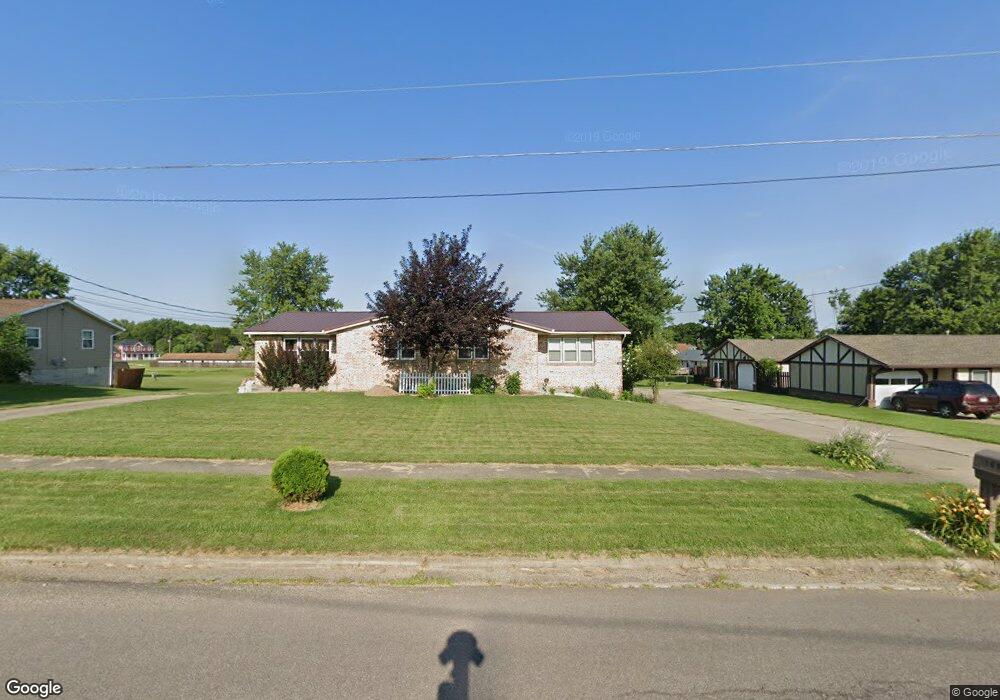
1060 Neil Cir N Unit 1062 Mansfield, OH 44903
Estimated Value: $218,000 - $333,000
6
Beds
4
Baths
2,168
Sq Ft
$129/Sq Ft
Est. Value
About This Home
This home is located at 1060 Neil Cir N Unit 1062, Mansfield, OH 44903 and is currently estimated at $278,620, approximately $128 per square foot. 1060 Neil Cir N Unit 1062 is a home located in Richland County with nearby schools including Madison High School, Temple-Christian School, and St. Mary Catholic School.
Ownership History
Date
Name
Owned For
Owner Type
Purchase Details
Closed on
May 23, 2018
Sold by
Gadd Elizabeth
Bought by
Loveland Robert A
Current Estimated Value
Home Financials for this Owner
Home Financials are based on the most recent Mortgage that was taken out on this home.
Original Mortgage
$112,000
Interest Rate
4.4%
Mortgage Type
New Conventional
Purchase Details
Closed on
Apr 6, 2001
Sold by
Hunt Garland
Bought by
Gadd Elizabeth M
Home Financials for this Owner
Home Financials are based on the most recent Mortgage that was taken out on this home.
Original Mortgage
$64,000
Interest Rate
7.13%
Mortgage Type
New Conventional
Purchase Details
Closed on
Oct 21, 1996
Sold by
Wolf Raymond C
Bought by
Hunt Garland and Hunt Brenda J
Home Financials for this Owner
Home Financials are based on the most recent Mortgage that was taken out on this home.
Original Mortgage
$20,349
Interest Rate
8.44%
Mortgage Type
New Conventional
Create a Home Valuation Report for This Property
The Home Valuation Report is an in-depth analysis detailing your home's value as well as a comparison with similar homes in the area
Home Values in the Area
Average Home Value in this Area
Purchase History
| Date | Buyer | Sale Price | Title Company |
|---|---|---|---|
| Loveland Robert A | $165,000 | Barrister Title Group | |
| Gadd Elizabeth M | $100,000 | -- | |
| Hunt Garland | $120,000 | -- |
Source: Public Records
Mortgage History
| Date | Status | Borrower | Loan Amount |
|---|---|---|---|
| Previous Owner | Loveland Robert A | $112,000 | |
| Previous Owner | Gadd Elizabeth M | $64,000 | |
| Previous Owner | Hunt Garland | $20,349 |
Source: Public Records
Tax History Compared to Growth
Tax History
| Year | Tax Paid | Tax Assessment Tax Assessment Total Assessment is a certain percentage of the fair market value that is determined by local assessors to be the total taxable value of land and additions on the property. | Land | Improvement |
|---|---|---|---|---|
| 2024 | $3,582 | $71,280 | $10,880 | $60,400 |
| 2023 | $3,582 | $71,280 | $10,880 | $60,400 |
| 2022 | $3,134 | $55,130 | $9,570 | $45,560 |
| 2021 | $3,114 | $55,130 | $9,570 | $45,560 |
| 2020 | $3,138 | $55,130 | $9,570 | $45,560 |
| 2019 | $2,992 | $46,720 | $8,110 | $38,610 |
| 2018 | $2,804 | $46,720 | $8,110 | $38,610 |
| 2017 | $2,747 | $46,720 | $8,110 | $38,610 |
| 2016 | $2,902 | $47,720 | $7,700 | $40,020 |
| 2015 | $2,771 | $47,720 | $7,700 | $40,020 |
| 2014 | $2,761 | $47,720 | $7,700 | $40,020 |
| 2012 | $1,305 | $47,730 | $8,110 | $39,620 |
Source: Public Records
Map
Nearby Homes
- 920 Piper Rd
- 1585 Beal Rd
- 1245 N Stewart Rd
- 1292 Wolford Rd
- 0 Hoover Rd
- 1158 Delwood Rd
- 1150 Delwood Dr
- 1151 Beal Rd
- 1171 Hoover Rd
- 1791 Beal Rd
- 1106 Keller Dr Unit 1108
- 1140 5th Ave
- 0 Wesley
- 741 Yale Ave
- 735 Pennsylvania Ave
- 903 Mayflower Ave
- 1199 Evergreen Ave W
- 1183 Evergreen Ave W
- 683 Coachman Rd
- 671 Coachman Rd
- 1065 Neil Cir N
- 1002 Neil Cir N
- 1043 Altman Dr
- 990 Neil Cir N
- 1033 Neil Cir N
- 1027 Neil Cir N
- 1043 Neil Cir N
- 1021 Neil Cir N
- 960 Neil Cir N
- 1013 Neil Cir N
- 1447 N Stewart Rd
- 1477 N Stewart Rd
- 953 Neil Cir N
- 956 Neil Cir S
- 954 Neil Cir S Unit 954
- 952 Neil Cir S Unit 952
- 950 Neil Cir S
- 1487 N Stewart Rd
- 991-993 Neil Cir S
- 991 Neil Cir N Unit 993