Estimated Value: $195,000 - $265,000
2
Beds
1
Bath
1,189
Sq Ft
$191/Sq Ft
Est. Value
About This Home
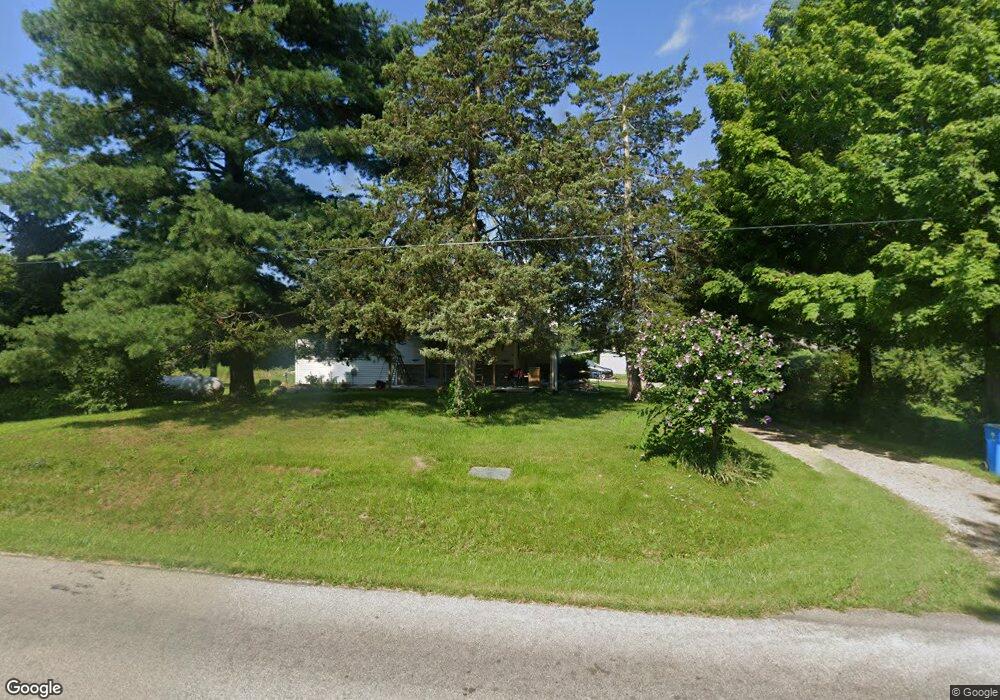
This home is located at 1060 S Allen Rd N Unit N, Allen, MI 49227 and is currently estimated at $226,724, approximately $190 per square foot. 1060 S Allen Rd N Unit N is a home located in Hillsdale County with nearby schools including Reynolds Elementary School and Reading High School.
Ownership History
Date
Name
Owned For
Owner Type
Purchase Details
Closed on
Jul 21, 2008
Sold by
Burlew Dennis and Burlew Cathy
Bought by
Flucht Phillip A
Current Estimated Value
Home Financials for this Owner
Home Financials are based on the most recent Mortgage that was taken out on this home.
Original Mortgage
$101,200
Outstanding Balance
$66,728
Interest Rate
6.51%
Mortgage Type
Unknown
Estimated Equity
$159,996
Purchase Details
Closed on
Jan 22, 1999
Sold by
Benge Thomas J and Benge Christina M
Bought by
Benge Thomas J and Benge Christina M
Create a Home Valuation Report for This Property
The Home Valuation Report is an in-depth analysis detailing your home's value as well as a comparison with similar homes in the area
Home Values in the Area
Average Home Value in this Area
Purchase History
| Date | Buyer | Sale Price | Title Company |
|---|---|---|---|
| Flucht Phillip A | $126,500 | Public Title Agency | |
| Benge Thomas J | -- | -- |
Source: Public Records
Mortgage History
| Date | Status | Borrower | Loan Amount |
|---|---|---|---|
| Open | Flucht Phillip A | $101,200 |
Source: Public Records
Tax History Compared to Growth
Tax History
| Year | Tax Paid | Tax Assessment Tax Assessment Total Assessment is a certain percentage of the fair market value that is determined by local assessors to be the total taxable value of land and additions on the property. | Land | Improvement |
|---|---|---|---|---|
| 2025 | $1,074 | $88,900 | $0 | $0 |
| 2024 | $456 | $66,600 | $0 | $0 |
| 2023 | $306 | $43,700 | $0 | $0 |
| 2022 | $703 | $39,000 | $0 | $0 |
| 2021 | $683 | $37,600 | $0 | $0 |
| 2020 | $677 | $37,100 | $0 | $0 |
| 2019 | $651 | $33,300 | $0 | $0 |
| 2018 | $621 | $31,900 | $0 | $0 |
| 2017 | $600 | $32,800 | $0 | $0 |
| 2016 | $595 | $23,600 | $0 | $0 |
| 2015 | $258 | $23,600 | $0 | $0 |
| 2013 | $250 | $23,390 | $0 | $0 |
| 2012 | $245 | $22,330 | $0 | $0 |
Source: Public Records
Map
Nearby Homes
- 2408 Spruce Dr
- 2251 Hemlock Rd
- 1631 Pierce Rd
- 9921 Bankers Rd
- 238 Maple Rd
- 5160 Quackenbush Rd
- 2520 S Sand Lake Rd
- 2201 S Sand Lake Rd
- 9500 Humphrey Rd
- 4251 Squires Rd
- 2651 S Sand Lake Rd
- 5211 Long Lake Rd
- 4300 W Bacon Rd
- 0 Wildwood Rd
- 5343 Beverly Dr
- 4048 Bankers Rd
- 3900 W Bacon Rd
- 4190 Fitzpatrick Rd
- 2298 Pondbrooke Dr
- 1085 E Chicago Rd Unit B
- 1260 S Allen Rd N
- 1120 S Allen Rd N Unit N
- 1260 S Allen Rd N
- 1260 S Allen Rd N
- 1260 S Allen Rd N Unit N
- 8480 W Hallett Rd
- 1220 S Allen Rd N Unit N
- 1220 S Allen Rd N Unit Allen Rd N
- 1191 S Allen Rd N Unit N
- 1315 N South Allen Rd
- 1211 S Allen Rd N
- 1315 S Allen Rd N
- 8300 W Hallett Rd
- 8200 W Hallett Rd
- 1040 S Allen Rd S
- 8171 W Hallett Rd
- 8471 Arkansaw Rd
- 8181 Arkansaw Rd
- 8160 W Hallett Rd
- 8056 W Hallett Rd