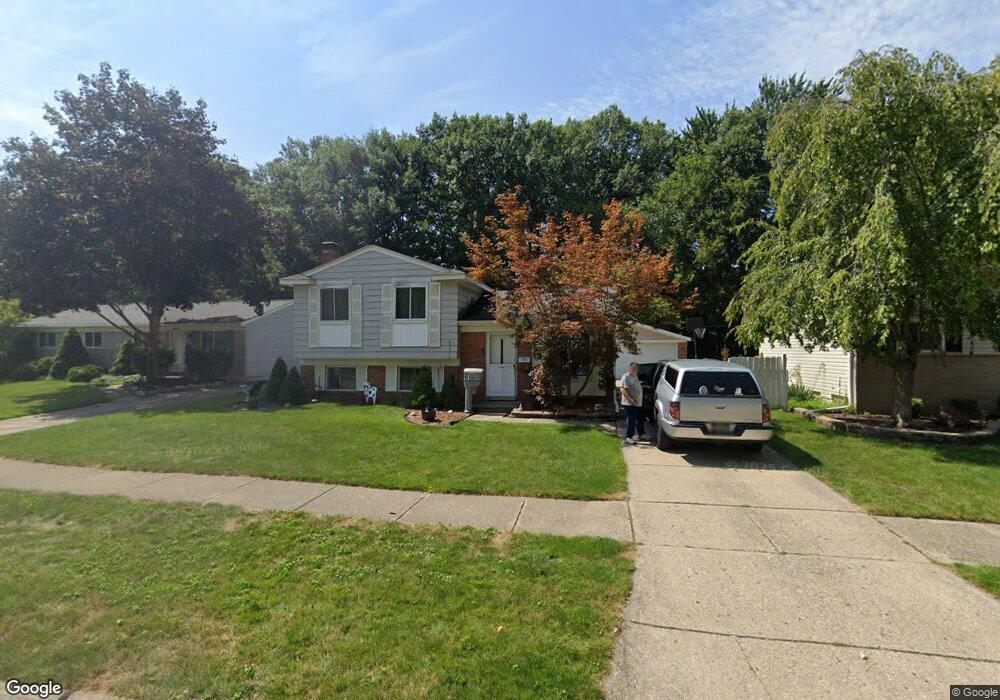
1060 Surrey Heights Westland, MI 48186
Estimated Value: $238,630 - $288,000
3
Beds
2
Baths
1,342
Sq Ft
$195/Sq Ft
Est. Value
About This Home
This home is located at 1060 Surrey Heights, Westland, MI 48186 and is currently estimated at $261,658, approximately $194 per square foot. 1060 Surrey Heights is a home located in Wayne County with nearby schools including P.D. Graham Elementary School, Lee Co. Schools Improvement Center, and Marshall Upper Elementary School.
Ownership History
Date
Name
Owned For
Owner Type
Purchase Details
Closed on
Dec 17, 2018
Sold by
Rupp David Buell
Bought by
West3 Garden 1 Llc
Current Estimated Value
Purchase Details
Closed on
Aug 18, 2017
Sold by
Rupp Tammy Jean
Bought by
Ruppp David Buell
Purchase Details
Closed on
Sep 16, 2010
Sold by
Secretary Of Veterans Affairs
Bought by
Rupp David B
Purchase Details
Closed on
Dec 10, 2009
Sold by
Midfirst Bank
Bought by
Department Of Veterans Affairs
Purchase Details
Closed on
Nov 25, 2009
Sold by
Crane Michael A and Crane Pamela R
Bought by
Midfirst Bank
Purchase Details
Closed on
Nov 5, 1999
Sold by
Bojeri Karie
Bought by
Crane Michael A
Create a Home Valuation Report for This Property
The Home Valuation Report is an in-depth analysis detailing your home's value as well as a comparison with similar homes in the area
Home Values in the Area
Average Home Value in this Area
Purchase History
| Date | Buyer | Sale Price | Title Company |
|---|---|---|---|
| West3 Garden 1 Llc | -- | None Available | |
| Ruppp David Buell | -- | None Available | |
| Rupp David B | $46,200 | None Available | |
| Department Of Veterans Affairs | -- | None Available | |
| Midfirst Bank | $57,284 | None Available | |
| Crane Michael A | $138,000 | -- |
Source: Public Records
Tax History Compared to Growth
Tax History
| Year | Tax Paid | Tax Assessment Tax Assessment Total Assessment is a certain percentage of the fair market value that is determined by local assessors to be the total taxable value of land and additions on the property. | Land | Improvement |
|---|---|---|---|---|
| 2025 | $2,695 | $99,700 | $0 | $0 |
| 2024 | $2,695 | $93,000 | $0 | $0 |
| 2023 | $2,571 | $84,700 | $0 | $0 |
| 2022 | $2,892 | $74,600 | $0 | $0 |
| 2021 | $2,833 | $71,800 | $0 | $0 |
| 2020 | $2,798 | $67,500 | $0 | $0 |
| 2019 | $2,708 | $66,300 | $0 | $0 |
| 2018 | $2,173 | $58,100 | $0 | $0 |
| 2017 | $807 | $56,000 | $0 | $0 |
| 2016 | $3,730 | $51,800 | $0 | $0 |
| 2015 | $3,650 | $43,730 | $0 | $0 |
| 2013 | $3,536 | $36,850 | $0 | $0 |
| 2012 | $2,625 | $39,450 | $0 | $0 |
Source: Public Records
Map
Nearby Homes
- 39288 Nottingham St
- 39258 Avondale St
- 44312 Wilmington Dr
- 477 Barchester St
- 40051 Finley Dr
- 00000 Avondale St
- 1639 Tulip Ln
- 1786 Daisey Ln Unit 32
- 40341 Worthington Ct
- 1040 Wildwood Ln
- 285 Carson Dr Unit 156
- 0 Cherry Hill Unit 16924
- 170 Cherry Hill Pointe Dr
- 204 Marigold Cir Unit 4
- 314 Marigold Cir Unit 49
- 38692 Watson Cir
- 312 Marigold Cir Unit 52
- 40488 Glen Eagle Ln Unit 75
- 2610 Hannan Rd
- 41060 Northwind Dr
- 1040 Surrey Heights
- 1080 Surrey Heights
- 1020 Surrey Heights
- 39344 Cheshire St
- 1100 Surrey Heights
- 1000 Surrey Heights
- 39353 Nottingham St
- 39357 Cheshire St
- 39334 Cheshire St
- 39345 Cheshire St
- 721 Buckingham Rd
- 980 Surrey Heights
- 709 Buckingham Rd
- 733 Buckingham Rd
- 39341 Nottingham St
- 697 Buckingham Rd
- 39328 Cheshire St
- 745 Buckingham Rd
- 960 Surrey Heights
- 39331 Nottingham St