10600 S Mustang Rd Mustang, OK 73064
South Mustang NeighborhoodEstimated Value: $647,000
3
Beds
3
Baths
4,229
Sq Ft
$153/Sq Ft
Est. Value
About This Home
This home is located at 10600 S Mustang Rd, Mustang, OK 73064 and is currently estimated at $647,000, approximately $152 per square foot. 10600 S Mustang Rd is a home with nearby schools including Mustang Centennial Elementary School, Mustang Horizon Intermediate School, and Mustang Middle School.
Ownership History
Date
Name
Owned For
Owner Type
Purchase Details
Closed on
Jan 30, 1998
Sold by
Hunter Marcy L Trustee#
Bought by
Anderson David M and Anderson Deborah
Current Estimated Value
Purchase Details
Closed on
Apr 2, 1997
Sold by
Hunter Properties Inc.
Purchase Details
Closed on
Feb 23, 1996
Sold by
Anderson Donald C
Purchase Details
Closed on
Aug 24, 1992
Sold by
March J
Purchase Details
Closed on
Aug 21, 1992
Sold by
Morgensen May M
Purchase Details
Closed on
Aug 19, 1992
Sold by
Robberson James R
Purchase Details
Closed on
Aug 18, 1992
Sold by
Waul Ronald
Create a Home Valuation Report for This Property
The Home Valuation Report is an in-depth analysis detailing your home's value as well as a comparison with similar homes in the area
Home Values in the Area
Average Home Value in this Area
Purchase History
| Date | Buyer | Sale Price | Title Company |
|---|---|---|---|
| Anderson David M | $245,000 | -- | |
| -- | -- | -- | |
| -- | $234,700 | -- | |
| -- | $32,500 | -- | |
| -- | -- | -- | |
| -- | -- | -- | |
| -- | $32,500 | -- |
Source: Public Records
Tax History Compared to Growth
Tax History
| Year | Tax Paid | Tax Assessment Tax Assessment Total Assessment is a certain percentage of the fair market value that is determined by local assessors to be the total taxable value of land and additions on the property. | Land | Improvement |
|---|---|---|---|---|
| 2024 | $5,164 | $48,006 | $2,861 | $45,145 |
| 2023 | $5,164 | $46,608 | $2,503 | $44,105 |
| 2022 | $5,086 | $45,250 | $2,503 | $42,747 |
| 2021 | $5,099 | $45,533 | $2,503 | $43,030 |
| 2020 | $4,452 | $45,400 | $2,492 | $42,908 |
| 2019 | $4,315 | $44,078 | $2,438 | $41,640 |
| 2018 | $4,271 | $42,794 | $2,385 | $40,409 |
| 2017 | $4,230 | $42,912 | $2,385 | $40,527 |
| 2016 | $4,126 | $41,826 | $2,385 | $39,441 |
| 2015 | -- | $12,439 | $2,275 | $10,164 |
| 2014 | -- | $12,841 | $2,035 | $10,806 |
Source: Public Records
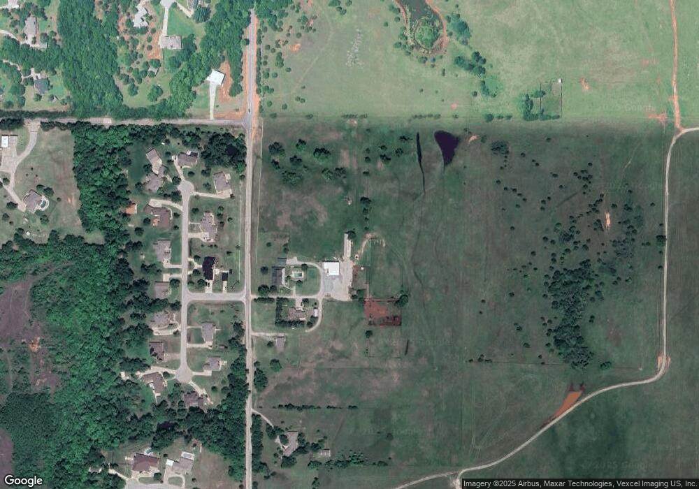
Map
Nearby Homes
- 11409 SW 109th St
- 11921 SW 104th St
- 11001 S Payne Rd
- 11100 SW 118th St
- 11610 Meadows Ave
- 10912 S Czech Hall Rd
- 1804 W Zachary Way
- 11709 W Little Ln
- 12300 S Highway 4
- 11933 SW 104th St
- 11937 SW 104th St
- 11941 SW 104th St
- 11949 SW 104th St
- 11953 SW 104th St
- 12104 36th St
- 12108 36th St
- 12112 36th St
- 12116 36th St
- 138 E Carson Ln
- 12100 SW 36th St
- 10700 S Mustang Rd W
- 10616 Crystal Creek Dr
- 10700 Crystal Creek Dr
- 10600 Crystal Creek Dr
- 10714 Crystal Creek Dr
- 10621 Crystal Creek Dr
- 10512 Crystal Creek Dr
- 10601 Crystal Creek Dr
- 10701 Crystal Creek Dr
- 10515 Crystal Creek Dr
- 10711 Crystal Creek Dr
- 10722 Crystal Creek Dr
- 10500 Crystal Creek Dr
- 10501 Crystal Creek Dr
- 10717 Crystal Creek Dr
- 10900 S Mustang Rd
- 0 Muatang Rd
- 11417 SW 109th St
- 0 SW 109th St
- 11500 SW 104th St