10601 County Road 25a Wapakoneta, OH 45895
Estimated Value: $375,000 - $653,305
4
Beds
3
Baths
2,688
Sq Ft
$184/Sq Ft
Est. Value
About This Home
This home is located at 10601 County Road 25a, Wapakoneta, OH 45895 and is currently estimated at $493,326, approximately $183 per square foot. 10601 County Road 25a is a home located in Auglaize County with nearby schools including Wapakoneta Elementary School, Wapakoneta High School, and Wapakoneta Middle School.
Ownership History
Date
Name
Owned For
Owner Type
Purchase Details
Closed on
Dec 2, 2005
Sold by
Schaub Jerome G and Schaub Linda
Bought by
Limbert Thomas M
Current Estimated Value
Purchase Details
Closed on
Nov 21, 2005
Sold by
Reiff Dorothy C and Reiff Michael
Bought by
Limbert Thoams M and Limbert Denise L
Purchase Details
Closed on
Nov 3, 1995
Bought by
Limbert Thomas M and Limbert Denise L
Create a Home Valuation Report for This Property
The Home Valuation Report is an in-depth analysis detailing your home's value as well as a comparison with similar homes in the area
Home Values in the Area
Average Home Value in this Area
Purchase History
| Date | Buyer | Sale Price | Title Company |
|---|---|---|---|
| Limbert Thomas M | -- | None Available | |
| Limbert Thoams M | -- | None Available | |
| Limbert Thomas M | $7,500 | -- |
Source: Public Records
Tax History Compared to Growth
Tax History
| Year | Tax Paid | Tax Assessment Tax Assessment Total Assessment is a certain percentage of the fair market value that is determined by local assessors to be the total taxable value of land and additions on the property. | Land | Improvement |
|---|---|---|---|---|
| 2024 | $9,298 | $180,200 | $20,020 | $160,180 |
| 2023 | $5,948 | $180,200 | $20,020 | $160,180 |
| 2022 | $5,141 | $143,510 | $18,570 | $124,940 |
| 2021 | $5,064 | $143,510 | $18,570 | $124,940 |
| 2020 | $2,548 | $143,518 | $18,575 | $124,943 |
| 2019 | $4,400 | $120,250 | $15,477 | $104,773 |
| 2018 | $4,416 | $120,250 | $15,477 | $104,773 |
| 2017 | $4,402 | $120,250 | $15,477 | $104,773 |
| 2016 | $3,843 | $104,472 | $13,776 | $90,696 |
| 2015 | $3,726 | $104,472 | $13,776 | $90,696 |
| 2014 | $3,789 | $104,472 | $13,776 | $90,696 |
| 2013 | $3,805 | $102,509 | $11,813 | $90,696 |
Source: Public Records
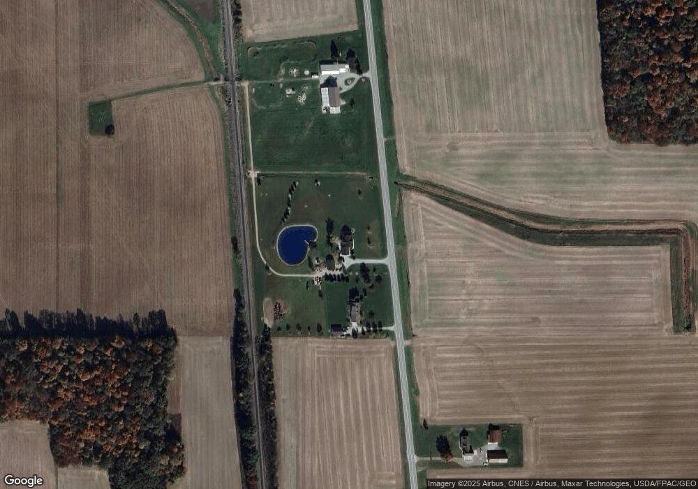
Map
Nearby Homes
- 19211 State Route 219
- 108 W State St
- 102 Wapak St
- 0 Kohler Rd
- 409 S Pine St
- 201 E Pearl St
- 608 W Benton St
- 1100 W Auglaize St
- 814 W Benton St
- 307 W Auglaize St
- 414 W Auglaize St
- 9 E Silver St
- 0 Ohio 67
- 106 Valleyview Dr
- 420 Hoopengarner St
- 8937 Wiefenbach Rd
- 322 Cole Dr
- 808 Aster Dr
- 601 Warren St
- 906 Aster Dr
- 10531 County Road 25a
- 10709 County Road 25a
- 10390 County Road 25a
- 10353 County Road 25a
- 10329 County Road 25a
- 10301 County Road 25a
- 10263 County Road 25a
- 10926 County Road 25a
- 10241 County Road 25a
- 13942 Freyburg Dr
- 10226 County Road 25a
- 13823 Freyburg Dr
- 10139 County Road 25a
- 10136 County Road 25a
- 13701 Freyburg Dr
- 14075 Freyburg Dr
- 10250 County Road 25a
- 13629 Freyburg Dr
- 13481 Freyburg Dr
- 13619 State Route 219