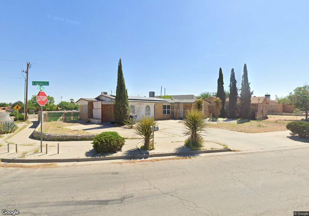
10601 Limas Dr Unit A & B El Paso, TX 79935
Pico Norte NeighborhoodEstimated Value: $192,000 - $224,891
4
Beds
3
Baths
1,560
Sq Ft
$135/Sq Ft
Est. Value
About This Home
This home is located at 10601 Limas Dr Unit A & B, El Paso, TX 79935 and is currently estimated at $210,223, approximately $134 per square foot. 10601 Limas Dr Unit A & B is a home located in El Paso County with nearby schools including East Point Elementary School, Eastwood Middle School, and Eastwood High School.
Ownership History
Date
Name
Owned For
Owner Type
Purchase Details
Closed on
Mar 28, 2019
Sold by
Delucio Raul De
Bought by
Riley Kenneth and Bretz Natasha
Current Estimated Value
Home Financials for this Owner
Home Financials are based on the most recent Mortgage that was taken out on this home.
Original Mortgage
$80,800
Interest Rate
4.3%
Mortgage Type
Purchase Money Mortgage
Purchase Details
Closed on
Jan 18, 2007
Sold by
Williams Betty M
Bought by
Delucio Raul
Home Financials for this Owner
Home Financials are based on the most recent Mortgage that was taken out on this home.
Original Mortgage
$50,000
Interest Rate
6.09%
Mortgage Type
Purchase Money Mortgage
Create a Home Valuation Report for This Property
The Home Valuation Report is an in-depth analysis detailing your home's value as well as a comparison with similar homes in the area
Home Values in the Area
Average Home Value in this Area
Purchase History
| Date | Buyer | Sale Price | Title Company |
|---|---|---|---|
| Riley Kenneth | -- | None Available | |
| Delucio Raul | -- | None Available |
Source: Public Records
Mortgage History
| Date | Status | Borrower | Loan Amount |
|---|---|---|---|
| Previous Owner | Riley Kenneth | $80,800 | |
| Previous Owner | Delucio Raul | $50,000 |
Source: Public Records
Tax History Compared to Growth
Tax History
| Year | Tax Paid | Tax Assessment Tax Assessment Total Assessment is a certain percentage of the fair market value that is determined by local assessors to be the total taxable value of land and additions on the property. | Land | Improvement |
|---|---|---|---|---|
| 2025 | $4,707 | $191,525 | $43,785 | $147,740 |
| 2024 | $4,707 | $171,377 | $23,637 | $147,740 |
| 2023 | $5,059 | $173,814 | $23,637 | $150,177 |
| 2022 | $4,797 | $154,488 | $23,637 | $130,851 |
| 2021 | $4,013 | $123,450 | $23,637 | $99,813 |
| 2020 | $3,228 | $102,206 | $21,455 | $80,751 |
| 2018 | $3,214 | $103,341 | $21,455 | $81,886 |
| 2017 | $3,120 | $102,058 | $21,455 | $80,603 |
| 2016 | $3,120 | $102,058 | $21,455 | $80,603 |
| 2015 | $2,040 | $102,058 | $21,455 | $80,603 |
| 2014 | $2,040 | $106,246 | $21,455 | $84,791 |
Source: Public Records
Map
Nearby Homes
- 2109 Febrero Dr
- 2224 Escarpa Dr
- 2105 Pacheco Dr
- 2313 Frank Beard Dr
- 2705 Fierro Dr
- 10712 Gay Brewer Dr
- 10512 Album Ave
- 10916 Miller Barber Dr
- 2701 Brady Place
- 2325 Ken Venturi Ln
- 2000 Solano Dr
- 2801 Brady Place
- 2412 Penwood Dr
- 1909 Crow Dr
- 3112 Eads Place
- 2912 Chaswood St
- 1844 Jack Nicklaus Dr Unit 1846
- 3101 Vogue Dr
- 11008 Johnny Miller Dr
- 2153 Trawood Dr
- 10601 Limas Dr
- 10605 Limas Dr
- 10609 Limas Dr
- 10613 Limas Dr
- 10608 Limas Dr
- 10617 Limas Dr
- 10656 Pico Norte Rd
- 10614 Limas Dr
- 10621 Limas Dr
- 10620 Limas Dr
- 10631 Pescador Dr
- 10625 Limas Dr
- 10633 Pescador Dr
- 10624 Limas Dr
- 10624 Limas Dr Unit 1
- 10700 Fury Ln
- 10701 Pescador Dr
- 10701 Pescador Dr Unit 1
- 10701 Sam Snead Dr
- 10629 Limas Dr