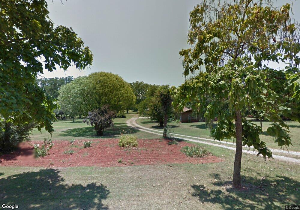
10601 S Darrow Rd Mustang, OK 73064
South Mustang NeighborhoodEstimated Value: $355,000 - $449,000
3
Beds
2
Baths
1,772
Sq Ft
$219/Sq Ft
Est. Value
About This Home
This home is located at 10601 S Darrow Rd, Mustang, OK 73064 and is currently estimated at $388,799, approximately $219 per square foot. 10601 S Darrow Rd is a home located in Canadian County with nearby schools including Mustang Centennial Elementary School, Mustang Horizon Intermediate School, and Mustang Middle School.
Ownership History
Date
Name
Owned For
Owner Type
Purchase Details
Closed on
Jun 27, 2025
Sold by
Boyd Family Trust and Boyd Scott Alan
Bought by
Boyd Scott Alan
Current Estimated Value
Purchase Details
Closed on
Dec 15, 2023
Sold by
James And Phyllis Boyd Revocable Living
Bought by
Boyd Family Trust and Boyd
Purchase Details
Closed on
Apr 14, 1998
Sold by
Boyd Thurman J and Or Phyllis J
Bought by
Boyd,James & Phyllis Trustees
Purchase Details
Closed on
Dec 27, 1989
Purchase Details
Closed on
Oct 16, 1989
Purchase Details
Closed on
Aug 15, 1988
Create a Home Valuation Report for This Property
The Home Valuation Report is an in-depth analysis detailing your home's value as well as a comparison with similar homes in the area
Home Values in the Area
Average Home Value in this Area
Purchase History
| Date | Buyer | Sale Price | Title Company |
|---|---|---|---|
| Boyd Scott Alan | -- | None Listed On Document | |
| Boyd Family Trust | -- | None Listed On Document | |
| Boyd,James & Phyllis Trustees | -- | -- | |
| -- | $47,000 | -- | |
| -- | -- | -- | |
| -- | -- | -- |
Source: Public Records
Tax History Compared to Growth
Tax History
| Year | Tax Paid | Tax Assessment Tax Assessment Total Assessment is a certain percentage of the fair market value that is determined by local assessors to be the total taxable value of land and additions on the property. | Land | Improvement |
|---|---|---|---|---|
| 2024 | $1,687 | $16,376 | $4,832 | $11,544 |
| 2023 | $1,687 | $15,899 | $4,581 | $11,318 |
| 2022 | $1,659 | $15,435 | $4,314 | $11,121 |
| 2021 | $1,602 | $14,987 | $4,001 | $10,986 |
| 2020 | $1,567 | $14,550 | $3,782 | $10,768 |
| 2019 | $1,517 | $14,126 | $3,569 | $10,557 |
| 2018 | $1,497 | $13,715 | $3,363 | $10,352 |
| 2017 | $1,431 | $13,315 | $3,243 | $10,072 |
| 2016 | $1,382 | $13,315 | $3,253 | $10,062 |
| 2015 | $1,087 | $12,551 | $3,004 | $9,547 |
| 2014 | $1,087 | $11,727 | $2,703 | $9,024 |
Source: Public Records
Map
Nearby Homes
- 11921 SW 104th St
- 11001 S Payne Rd
- 10912 S Czech Hall Rd
- 11409 SW 109th St
- 1804 W Zachary Way
- 11933 SW 104th St
- 11937 SW 104th St
- 11941 SW 104th St
- 11949 SW 104th St
- 11953 SW 104th St
- 10901 Kase Dr
- 12104 36th St
- 12108 36th St
- 12112 36th St
- 12116 36th St
- 12100 SW 36th St
- 11709 W Little Ln
- 525 W Ava Dr
- 1302 S Silver Dr
- 11100 SW 118th St
- 10701 S Darrow Rd
- 11714 SW 104th St
- 11701 SW 104th St
- 11121 S Darrow Rd
- 11005 S Darrow Rd
- 10801 S Darrow Rd
- 11936 SW 104th St
- 11801 SW 104th St
- 10415 Fawn Trace Rd
- 11624 SW 104th St
- 11630 SW 104th St
- 10608 S Payne Rd
- 11929 SW 104th St
- 13006 S Payne Rd
- 10612 S Payne Rd
- 11901 SW 104th St
- 10412 Fawn Trace Rd
- 10400 Fawn Trace
- 10400 Fawn Trace Rd
- 10609 S Payne Rd