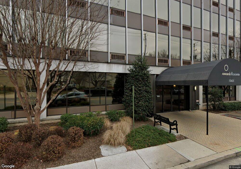
10605 Concord St Kensington, MD 20895
Estimated Value: $8,795,492
--
Bed
--
Bath
110
Sq Ft
$79,959/Sq Ft
Est. Value
About This Home
This home is located at 10605 Concord St, Kensington, MD 20895 and is currently estimated at $8,795,492, approximately $79,959 per square foot. 10605 Concord St is a home located in Montgomery County with nearby schools including Long Lake Elementary School, Mackinaw City School, and Kensington Parkwood Elementary School.
Ownership History
Date
Name
Owned For
Owner Type
Purchase Details
Closed on
Dec 1, 2005
Sold by
Cadlerock'S Concord Bldg Llc
Bought by
Concord Bt Llc
Current Estimated Value
Purchase Details
Closed on
Aug 6, 1998
Sold by
Cadlerock Properties Joint
Bought by
Cadlerock'S Concord Bldg Llc
Purchase Details
Closed on
Jul 15, 1997
Sold by
Cadle Company
Bought by
Cadlerock Properties Joint and Venture Ii L P
Purchase Details
Closed on
Feb 18, 1997
Sold by
Consolidated Properties
Bought by
Cadle Company
Create a Home Valuation Report for This Property
The Home Valuation Report is an in-depth analysis detailing your home's value as well as a comparison with similar homes in the area
Home Values in the Area
Average Home Value in this Area
Purchase History
| Date | Buyer | Sale Price | Title Company |
|---|---|---|---|
| Concord Bt Llc | $6,550,000 | -- | |
| Cadlerock'S Concord Bldg Llc | $2,300,000 | -- | |
| Cadlerock Properties Joint | $2,300,000 | -- | |
| Cadle Company | $1,720,000 | -- |
Source: Public Records
Tax History Compared to Growth
Tax History
| Year | Tax Paid | Tax Assessment Tax Assessment Total Assessment is a certain percentage of the fair market value that is determined by local assessors to be the total taxable value of land and additions on the property. | Land | Improvement |
|---|---|---|---|---|
| 2025 | $107,530 | $8,083,700 | -- | -- |
| 2024 | $107,530 | $8,000,000 | $2,669,000 | $5,331,000 |
| 2023 | $107,473 | $8,000,000 | $2,669,000 | $5,331,000 |
| 2022 | $104,368 | $8,452,933 | $0 | $0 |
| 2021 | $109,010 | $8,450,800 | $2,669,000 | $5,781,800 |
| 2020 | $106,642 | $8,275,233 | $0 | $0 |
| 2019 | $104,321 | $8,099,667 | $0 | $0 |
| 2018 | $102,693 | $7,924,100 | $2,541,900 | $5,382,200 |
| 2017 | $92,064 | $7,382,700 | $0 | $0 |
| 2016 | -- | $6,841,300 | $0 | $0 |
| 2015 | $76,981 | $6,299,900 | $0 | $0 |
| 2014 | $76,981 | $7,121,700 | $0 | $0 |
Source: Public Records
Map
Nearby Homes
- 3603 Plyers Mill Rd
- 3722 Lawrence Ave
- 3600 Decatur Ave
- 10400 Montgomery Ave
- 3511 Decatur Ave
- 10305 Armory Ave
- 3419 University Blvd W Unit 102
- 3421 University Blvd W Unit 3421-302
- 10502 Drumm Ave
- 10212 Montgomery Ave Unit 9
- 3911 Prospect St
- 10206 Montgomery Ave Unit 15
- 4201 Matthews Ln
- 11006 Madison St
- 3117 Plyers Mill Rd
- 3303 Fayette Rd
- 3355 University Blvd W Unit 206
- 3905 Halsey St
- 3419 Wake Dr
- 3922 Denfeld Ct
- 3711 Plyers Mill Rd
- 3709 Plyers Mill Rd
- 3707 Plyers Mill Rd
- 10625 Connecticut Ave
- 3705 Plyers Mill Rd
- 10635 Connecticut Ave
- 10613 Concord St
- 10604 Nash Place
- 10608 Nash Place
- 10610 Nash Place
- 10600 Nash Place
- 3725 Dupont Ave
- 10603 Nash Place
- 10605 Nash Place
- 10607 Nash Place
- 3723 Dupont Ave
- 10634 Connecticut Ave
- 10601 Nash Place
- 10609 Nash Place
- 10628 Connecticut Ave