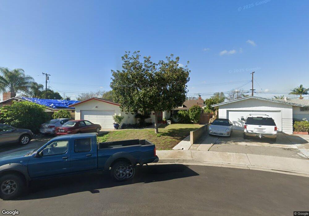
10605 Dixie Dr Anaheim, CA 92804
West Anaheim NeighborhoodEstimated Value: $848,000 - $1,192,000
About This Home
This home is located at 10605 Dixie Dr, Anaheim, CA 92804 and is currently estimated at $987,540, approximately $620 per square foot. 10605 Dixie Dr is a home located in Orange County with nearby schools including Jonas E. Salk Elementary School, Dale Jr High School, and Magnolia High.
Ownership History
We collect this data history from publicly available records. To have your information removed, we recommend requesting removal directly through your county’s website.
Purchase Details
Home Financials for this Owner
Home Financials are based on the most recent Mortgage that was taken out on this home.Home Values in the Area
Average Home Value in this Area
Purchase History
We collect this data history from publicly available records. To have your information removed, we recommend requesting removal directly through your county’s website.
| Date | Buyer | Sale Price | Title Company |
|---|---|---|---|
| $198,000 | Lawyers Title Company |
Mortgage History
We collect this data history from publicly available records. To have your information removed, we recommend requesting removal directly through your county’s website.
| Date | Status | Borrower | Loan Amount |
|---|---|---|---|
| Open | $148,500 | ||
| Closed | $39,600 |
Tax History
We collect this data history from publicly available records. To have your information removed, we recommend requesting removal directly through your county’s website.
| Year | Tax Paid | Tax Assessment Tax Assessment Total Assessment is a certain percentage of the fair market value that is determined by local assessors to be the total taxable value of land and additions on the property. | Land | Improvement |
|---|---|---|---|---|
| 2025 | $3,896 | $315,285 | $220,725 | $94,560 |
| 2024 | $3,742 | $309,103 | $216,397 | $92,706 |
| 2023 | $3,651 | $303,043 | $212,154 | $90,889 |
| 2022 | $3,618 | $297,101 | $207,994 | $89,107 |
| 2021 | $3,640 | $291,276 | $203,916 | $87,360 |
| 2020 | $3,558 | $288,290 | $201,825 | $86,465 |
| 2019 | $3,469 | $282,638 | $197,868 | $84,770 |
| 2018 | $3,437 | $277,097 | $193,989 | $83,108 |
| 2017 | $3,302 | $271,664 | $190,185 | $81,479 |
| 2016 | $3,300 | $266,338 | $186,456 | $79,882 |
| 2015 | $3,283 | $262,338 | $183,655 | $78,683 |
| 2014 | $3,114 | $257,200 | $180,058 | $77,142 |
Map
- 10652 Thomas Dr
- 9701 Hawkeye Ln
- 9892 Chanticleer Rd
- 10301 Antigua St
- 2239 W Judith Ln
- 10261 D Este Dr
- 2106 W Cerritos Ave
- 9551 Maureen Dr
- 1250 S Brookhurst St Unit 2006
- 1250 S Brookhurst St Unit 1011
- 1250 S Brookhurst St Unit 2050
- 1250 S Brookhurst St Unit 2063
- 1250 S Brookhurst St Unit 2080
- 1250 S Brookhurst St Unit 2017
- 1250 S Brookhurst St Unit 1059
- 1968 W Chanticleer Rd
- 9166 Cerritos Ave Unit 48
- 9155 Pacific Ave Unit 265
- 9961 Aldgate Ave
- 2011 W Katella Ave Unit 3
Ask me questions while you tour the home.