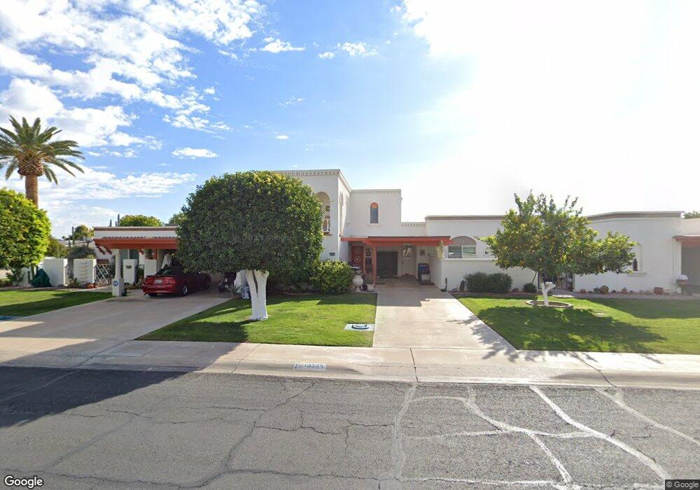
10605 W Audrey Dr Sun City, AZ 85351
Estimated Value: $178,575 - $225,000
--
Bed
2
Baths
1,342
Sq Ft
$157/Sq Ft
Est. Value
About This Home
This home is located at 10605 W Audrey Dr, Sun City, AZ 85351 and is currently estimated at $210,394, approximately $156 per square foot. 10605 W Audrey Dr is a home located in Maricopa County with nearby schools including Desert Mirage Elementary School, Ombudsman - Northwest Charter, and Peoria Accelerated High School.
Ownership History
Date
Name
Owned For
Owner Type
Purchase Details
Closed on
Apr 12, 2023
Sold by
Hallock-Bannigan Suzy
Bought by
Suzy Hallock-Bannigan Trust
Current Estimated Value
Purchase Details
Closed on
Mar 24, 2006
Sold by
Marshall William E and Marshall Bonnie P
Bought by
Hallock Bannigan Suzy
Home Financials for this Owner
Home Financials are based on the most recent Mortgage that was taken out on this home.
Original Mortgage
$79,000
Interest Rate
6.12%
Mortgage Type
New Conventional
Purchase Details
Closed on
May 8, 1998
Sold by
Stroud Roger and Stroud Anona
Bought by
Marshall William E and Marshall Bonnie
Purchase Details
Closed on
Aug 20, 1997
Sold by
Stroud Anona and Albrecht Wanda L
Bought by
Stroud Roger and Stroud Anona
Create a Home Valuation Report for This Property
The Home Valuation Report is an in-depth analysis detailing your home's value as well as a comparison with similar homes in the area
Home Values in the Area
Average Home Value in this Area
Purchase History
| Date | Buyer | Sale Price | Title Company |
|---|---|---|---|
| Suzy Hallock-Bannigan Trust | -- | None Listed On Document | |
| Hallock Bannigan Suzy | $152,000 | Grand Canyon Title Agency In | |
| Marshall William E | $65,000 | Security Title Agency | |
| Stroud Roger | $29,250 | Security Title |
Source: Public Records
Mortgage History
| Date | Status | Borrower | Loan Amount |
|---|---|---|---|
| Previous Owner | Hallock Bannigan Suzy | $79,000 |
Source: Public Records
Tax History Compared to Growth
Tax History
| Year | Tax Paid | Tax Assessment Tax Assessment Total Assessment is a certain percentage of the fair market value that is determined by local assessors to be the total taxable value of land and additions on the property. | Land | Improvement |
|---|---|---|---|---|
| 2025 | $713 | $8,073 | -- | -- |
| 2024 | $649 | $7,689 | -- | -- |
| 2023 | $649 | $15,930 | $3,180 | $12,750 |
| 2022 | $608 | $13,180 | $2,630 | $10,550 |
| 2021 | $622 | $12,100 | $2,420 | $9,680 |
| 2020 | $606 | $11,720 | $2,340 | $9,380 |
| 2019 | $548 | $9,010 | $1,800 | $7,210 |
| 2018 | $528 | $7,670 | $1,530 | $6,140 |
| 2017 | $510 | $6,680 | $1,330 | $5,350 |
| 2016 | $477 | $6,130 | $1,220 | $4,910 |
| 2015 | $455 | $5,210 | $1,040 | $4,170 |
Source: Public Records
Map
Nearby Homes
- 10613 W Clair Dr
- 10616 W Camden Ave
- 10535 W Clair Dr
- 10202 N 105th Dr Unit 1
- 10522 W Camden Ave Unit 6
- 10230 N 106th Dr
- 10222 N 105th Dr Unit 5
- 10510 W Camden Ave
- 10709 W Clair Dr Unit 1
- 10236 N 105th Dr Unit 8
- 10517 W Cumberland Dr
- 10724 W Cheryl Dr
- 10743 W Clair Dr Unit 8
- 10728 W Cheryl Dr
- 10414 W Audrey Dr
- 9802 N 107th Ave
- 10410 W Audrey Dr Unit 8
- 10417 W Deanne Dr Unit 5
- 10754 W Cinnebar Ave Unit 48
- 10758 W Cinnebar Ave Unit 47
- 10601 W Audrey Dr
- 10609 W Audrey Dr
- 10613 W Audrey Dr Unit 4
- 10615 W Audrey Dr Unit 3
- 10606 W Clair Dr
- 10610 W Clair Dr Unit 5
- 10602 W Clair Dr Unit 5
- 10614 W Clair Dr
- 10619 W Audrey Dr Unit 2
- 10602 W Audrey Dr
- 10608 W Audrey Dr Unit 5
- 10614 W Audrey Dr
- 10213 N 106th Ave Unit 27
- 10217 N 106th Ave
- 10536 W Clair Dr Unit 1
- 10221 N 106th Ave
- 10621 W Audrey Dr Unit 1
- 10618 W Audrey Dr Unit 13
- 10534 W Clair Dr Unit 2
- 10225 N 106th Ave Unit 24