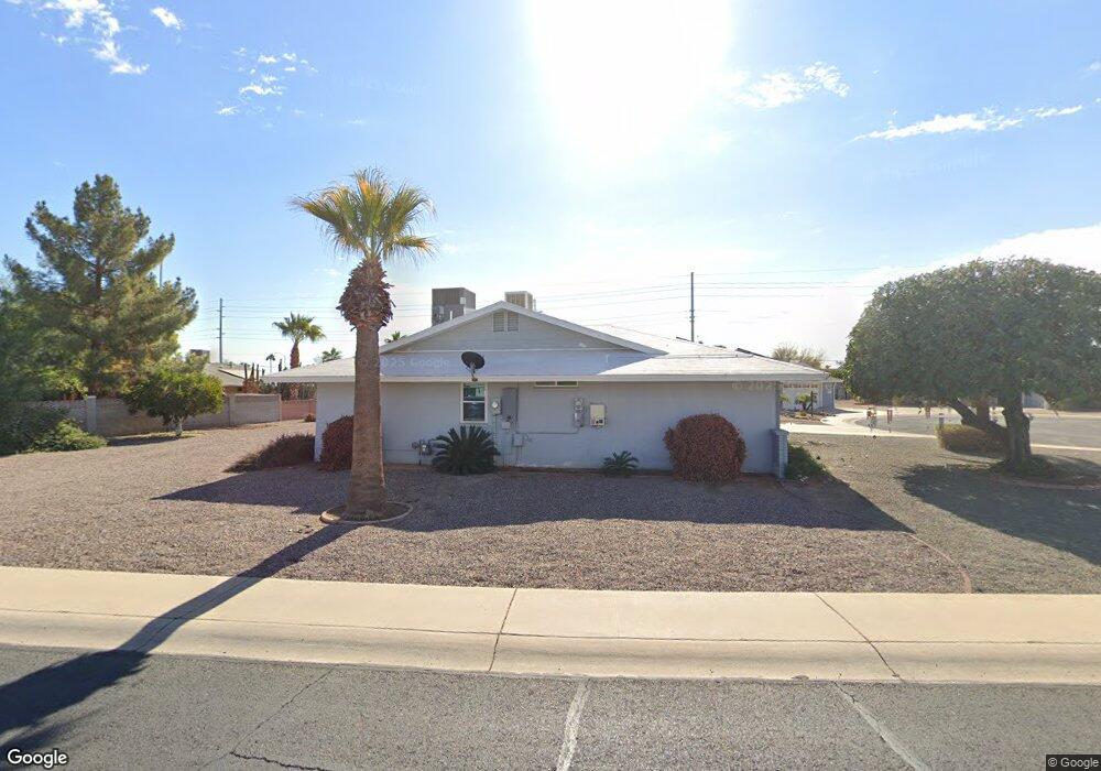
10605 W Caron Dr Sun City, AZ 85351
Estimated Value: $254,465 - $320,000
3
Beds
2
Baths
1,448
Sq Ft
$205/Sq Ft
Est. Value
About This Home
This home is located at 10605 W Caron Dr, Sun City, AZ 85351 and is currently estimated at $296,616, approximately $204 per square foot. 10605 W Caron Dr is a home located in Maricopa County with nearby schools including Ombudsman - Northwest Charter and Peoria Accelerated High School.
Ownership History
Date
Name
Owned For
Owner Type
Purchase Details
Closed on
Apr 24, 2017
Sold by
Nott Muriel E and Ferguson Muriel E
Bought by
Nott Ralph V and Nott Muriel E
Current Estimated Value
Purchase Details
Closed on
Feb 13, 2008
Sold by
Early Flora L and Early Family Living Trust
Bought by
Ferguson Muriel E
Home Financials for this Owner
Home Financials are based on the most recent Mortgage that was taken out on this home.
Original Mortgage
$157,429
Outstanding Balance
$95,876
Interest Rate
5.41%
Mortgage Type
FHA
Estimated Equity
$200,740
Create a Home Valuation Report for This Property
The Home Valuation Report is an in-depth analysis detailing your home's value as well as a comparison with similar homes in the area
Home Values in the Area
Average Home Value in this Area
Purchase History
| Date | Buyer | Sale Price | Title Company |
|---|---|---|---|
| Nott Ralph V | -- | None Available | |
| Ferguson Muriel E | $159,900 | First American Title Ins Co |
Source: Public Records
Mortgage History
| Date | Status | Borrower | Loan Amount |
|---|---|---|---|
| Open | Ferguson Muriel E | $157,429 |
Source: Public Records
Tax History Compared to Growth
Tax History
| Year | Tax Paid | Tax Assessment Tax Assessment Total Assessment is a certain percentage of the fair market value that is determined by local assessors to be the total taxable value of land and additions on the property. | Land | Improvement |
|---|---|---|---|---|
| 2025 | $1,032 | $12,759 | -- | -- |
| 2024 | $928 | $12,152 | -- | -- |
| 2023 | $928 | $22,270 | $4,450 | $17,820 |
| 2022 | $874 | $17,430 | $3,480 | $13,950 |
| 2021 | $902 | $16,260 | $3,250 | $13,010 |
| 2020 | $878 | $14,250 | $2,850 | $11,400 |
| 2019 | $862 | $13,250 | $2,650 | $10,600 |
| 2018 | $830 | $12,030 | $2,400 | $9,630 |
| 2017 | $802 | $10,810 | $2,160 | $8,650 |
| 2016 | $424 | $10,130 | $2,020 | $8,110 |
| 2015 | $714 | $9,100 | $1,820 | $7,280 |
Source: Public Records
Map
Nearby Homes
- 10707 W Mission Ln
- 9202 N 107th Ave Unit 8
- 10726 W Kelso Dr Unit 172
- 10731 W Mission Ln Unit 200
- 8803 N 105th Dr
- 10726 W Denham Dr Unit 16
- 10825 W Caron Dr
- 10732 W Denham Dr Unit 17
- 8800 N 107th Ave Unit 17
- 8800 N 107th Ave Unit 19
- 8800 N 107th Ave Unit 52
- 10512 W Ruth Ave
- 10326 W Caron Dr
- 10603 W Ruth Ave
- 8582 N 107th Ln
- 10816 W Venturi Dr
- 10801 W Mountain View Rd
- 10221 W Puget Ave
- 10512 W Butler Dr
- 9802 N 107th Ave
- 10541 W Caron Dr
- 10537 W Caron Dr
- 10612 W Caron Dr
- 10602 W Caron Dr
- 10618 W Caron Dr
- 10619 W Caron Dr
- 10548 W Caron Dr
- 10629 W Caron Dr
- 10624 W Caron Dr
- 10533 W Caron Dr
- 10542 W Caron Dr
- 10609 W Kelso Dr
- 10603 W Kelso Dr
- 10630 W Caron Dr
- 10617 W Kelso Dr
- 10627 W Kelso Dr
- 10631 W Caron Dr Unit REMDL
- 10631 W Caron Dr
- 10549 W Kelso Dr
- 10534 W Caron Dr