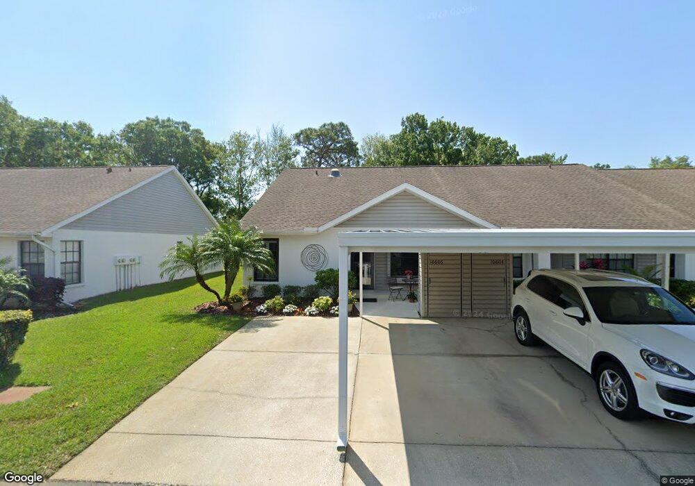
10606 Millriver Dr New Port Richey, FL 34654
River Ridge NeighborhoodEstimated Value: $183,876 - $212,000
--
Bed
2
Baths
988
Sq Ft
$204/Sq Ft
Est. Value
About This Home
This home is located at 10606 Millriver Dr, New Port Richey, FL 34654 and is currently estimated at $201,969, approximately $204 per square foot. 10606 Millriver Dr is a home located in Pasco County with nearby schools including River Ridge High School, Cypress Elementary School, and River Ridge Middle School.
Ownership History
Date
Name
Owned For
Owner Type
Purchase Details
Closed on
Dec 5, 2013
Sold by
Babe Dennis and Babe Laura E
Bought by
Babe Dennis D and Babe Laura E
Current Estimated Value
Purchase Details
Closed on
Apr 30, 2013
Sold by
Rogers Angela and Rogers Eugene J
Bought by
Babe Dennis and Babe Laura E
Purchase Details
Closed on
Feb 28, 1995
Sold by
River Ridge Golf Club Inc
Bought by
Rogers Eugene J and Rogers Angela
Home Financials for this Owner
Home Financials are based on the most recent Mortgage that was taken out on this home.
Original Mortgage
$45,500
Interest Rate
9.05%
Create a Home Valuation Report for This Property
The Home Valuation Report is an in-depth analysis detailing your home's value as well as a comparison with similar homes in the area
Home Values in the Area
Average Home Value in this Area
Purchase History
| Date | Buyer | Sale Price | Title Company |
|---|---|---|---|
| Babe Dennis D | -- | None Available | |
| Babe Dennis | $70,000 | Tropical Title Insurance Llc | |
| Rogers Eugene J | $58,900 | -- |
Source: Public Records
Mortgage History
| Date | Status | Borrower | Loan Amount |
|---|---|---|---|
| Previous Owner | Rogers Eugene J | $45,500 |
Source: Public Records
Tax History Compared to Growth
Tax History
| Year | Tax Paid | Tax Assessment Tax Assessment Total Assessment is a certain percentage of the fair market value that is determined by local assessors to be the total taxable value of land and additions on the property. | Land | Improvement |
|---|---|---|---|---|
| 2025 | $2,773 | $169,784 | $15,589 | $154,195 |
| 2024 | $2,773 | $163,857 | $15,589 | $148,268 |
| 2023 | $2,575 | $131,360 | $0 | $0 |
| 2022 | $2,128 | $131,496 | $13,089 | $118,407 |
| 2021 | $1,916 | $109,287 | $11,746 | $97,541 |
| 2020 | $1,788 | $105,277 | $11,735 | $93,542 |
| 2019 | $1,645 | $94,879 | $11,735 | $83,144 |
| 2018 | $1,494 | $83,635 | $11,735 | $71,900 |
| 2017 | $1,384 | $74,158 | $11,735 | $62,423 |
| 2016 | $1,319 | $71,658 | $11,735 | $59,923 |
| 2015 | $1,292 | $68,594 | $11,735 | $56,859 |
| 2014 | $1,226 | $66,432 | $11,735 | $54,697 |
Source: Public Records
Map
Nearby Homes
- 7530 Roy Ct
- 7536 Roland Ct
- 10636 Millriver Dr
- 7636 Haig Ct
- 10718 Fiddlesticks Ct
- 7507 Katherine Dr
- 10319 Widgeon Way
- 7633 Piping Rock Ct
- 10319 Alberta Ct
- 10235 Maverick St
- 10908 Claymont Dr
- 10305 Copperwood Dr
- 10900 Livingston Dr
- 7320 Auburn Ln
- 7051 Woodibis Dr
- 10301 Bellwood Ave
- 7222 Auburn Ln
- 7814 Brisbane Ct
- 11142 Port Douglas Dr
- 7739 Harbor Bridge Blvd
- 10610 Millriver Dr
- 10612 Millriver Dr
- 10604 Millriver Dr
- 10614 Millriver Dr
- 10602 Millriver Dr
- 7528 Roy Ct
- 10600 Millriver Dr
- 7531 Roland Ct
- 10536 Millriver Dr
- 7530 Roland Ct
- 7527 Roy Ct
- 10534 Millriver Dr
- 7533 Roland Ct
- 7532 Roland Ct
- 10532 Millriver Dr
- 7529 Roy Ct
- 7534 Roland Ct
- 7524 Vale Loop
- 7601 Roland Ct
- 10630 Millriver Dr