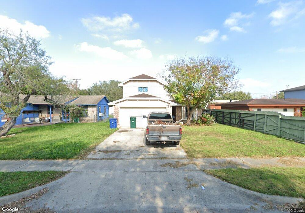
10608 Emmord Loop Corpus Christi, TX 78410
Northwest Corpus Christi NeighborhoodEstimated Value: $183,000 - $194,000
3
Beds
2
Baths
1,254
Sq Ft
$148/Sq Ft
Est. Value
About This Home
This home is located at 10608 Emmord Loop, Corpus Christi, TX 78410 and is currently estimated at $186,028, approximately $148 per square foot. 10608 Emmord Loop is a home located in Nueces County with nearby schools including Tuloso-Midway Primary School, Tuloso-Midway Intermediate School, and Tuloso-Midway Middle.
Ownership History
Date
Name
Owned For
Owner Type
Purchase Details
Closed on
Jul 5, 2006
Sold by
Eretz Inc
Bought by
George Jefferson Dr
Current Estimated Value
Home Financials for this Owner
Home Financials are based on the most recent Mortgage that was taken out on this home.
Original Mortgage
$79,920
Outstanding Balance
$51,372
Interest Rate
8.2%
Mortgage Type
Purchase Money Mortgage
Estimated Equity
$134,656
Purchase Details
Closed on
Dec 21, 2005
Sold by
Hull Cassandra E
Bought by
Eretz Inc
Create a Home Valuation Report for This Property
The Home Valuation Report is an in-depth analysis detailing your home's value as well as a comparison with similar homes in the area
Home Values in the Area
Average Home Value in this Area
Purchase History
| Date | Buyer | Sale Price | Title Company |
|---|---|---|---|
| George Jefferson Dr | -- | First American Title Ins | |
| Eretz Inc | -- | None Available |
Source: Public Records
Mortgage History
| Date | Status | Borrower | Loan Amount |
|---|---|---|---|
| Open | George Jefferson Dr | $79,920 |
Source: Public Records
Tax History Compared to Growth
Tax History
| Year | Tax Paid | Tax Assessment Tax Assessment Total Assessment is a certain percentage of the fair market value that is determined by local assessors to be the total taxable value of land and additions on the property. | Land | Improvement |
|---|---|---|---|---|
| 2025 | $3,563 | $142,448 | $23,563 | $118,885 |
| 2024 | $3,563 | $157,299 | $23,563 | $133,736 |
| 2023 | $3,110 | $142,180 | $23,563 | $118,617 |
| 2022 | $3,197 | $126,206 | $23,563 | $102,643 |
| 2021 | $3,293 | $125,028 | $23,563 | $101,465 |
| 2020 | $3,369 | $126,416 | $23,563 | $102,853 |
| 2019 | $3,593 | $127,806 | $23,563 | $104,243 |
| 2018 | $3,529 | $127,554 | $23,563 | $103,991 |
| 2017 | $3,604 | $128,903 | $23,563 | $105,340 |
| 2016 | $3,439 | $123,001 | $23,563 | $99,438 |
| 2015 | $3,018 | $114,896 | $15,250 | $99,646 |
| 2014 | $3,018 | $107,768 | $15,250 | $92,518 |
Source: Public Records
Map
Nearby Homes
- 10614 Emmord Loop
- 10639 Emmord Loop
- 10610 Hurst Dr
- 2838 Bridle Ln
- 10518 Heizer Dr
- 2838 Sage Brush Dr
- 10725 Westview Dr
- 2742 Blue Grass Dr
- 3101 Creek Side Dr
- 3014 Stone Creek Dr
- Upton Plan at Woodside
- Lakeway Plan at Woodside
- 10313 Stone Creek Dr
- 2721 Tumbleweed Dr
- 2729 Gold Rush Ln
- 10506 Hemlock Rd
- 4249 Starlite Ln
- 4241 Starlite Ln
- 3229 Creek Side Dr
- 10802 Timbergrove Ln
- 10612 Emmord Loop
- 10602 Emmord Loop
- 10605 Emmord Loop
- 10603 Emmord Loop
- 10613 Emmord Loop
- 10607 Emmord Loop
- 10606 Emmord Loop
- 10620 Emmord Loop
- 10617 Emmord Loop
- 10601 Emmord Loop
- 10624 Emmord Loop
- 10609 Hurst Dr
- 10613 Hurst Dr
- 10605 Hurst Dr
- 10617 Hurst Dr
- 10619 Emmord Loop
- 10619 Hurst Dr
- 2846 Bridle Ln
- 2842 Bridle Ln
- 10630 Emmord Loop