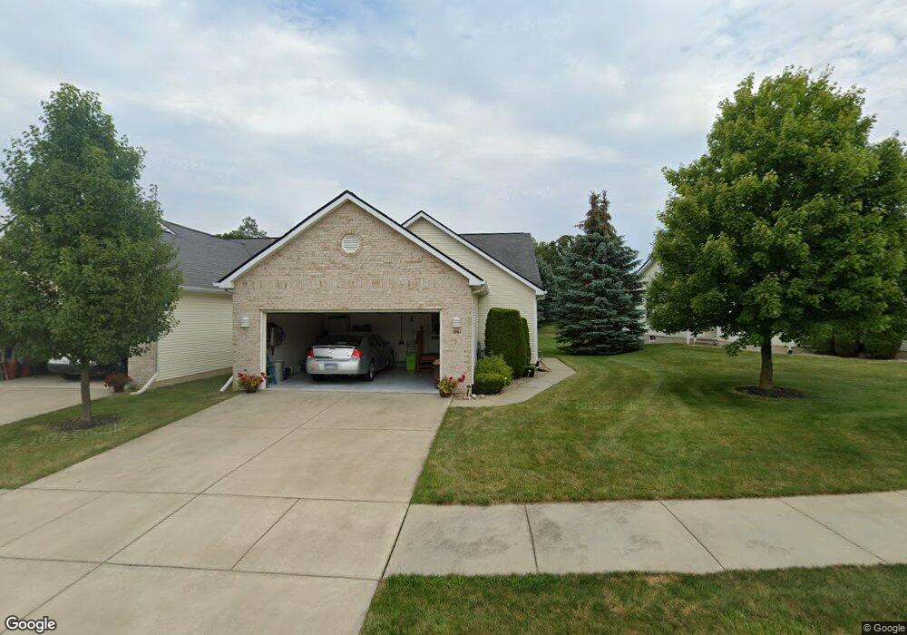
1061 Brokaw Dr Unit 7 Davison, MI 48423
Estimated Value: $238,681 - $283,000
--
Bed
--
Bath
1,421
Sq Ft
$188/Sq Ft
Est. Value
About This Home
This home is located at 1061 Brokaw Dr Unit 7, Davison, MI 48423 and is currently estimated at $267,170, approximately $188 per square foot. 1061 Brokaw Dr Unit 7 is a home located in Genesee County with nearby schools including Thomson Elementary School, Hill Elementary School, and Gates Elementary School.
Ownership History
Date
Name
Owned For
Owner Type
Purchase Details
Closed on
May 3, 2022
Sold by
Wilcox Karen M and Bennett Annesta Blaine
Bought by
Jessie L Bennett L and Jessie Wilcox
Current Estimated Value
Purchase Details
Closed on
Aug 15, 2017
Sold by
Bennett Annesta
Bought by
Bennett Annesta and Konya Vicki
Purchase Details
Closed on
Oct 10, 2013
Sold by
Stoulil Betty I and Stoulil Francis W
Bought by
The Betty I Stoulil Trust
Purchase Details
Closed on
Apr 21, 2004
Sold by
T L Corp
Bought by
Stoulil Francis W and Stoulil Betty I
Create a Home Valuation Report for This Property
The Home Valuation Report is an in-depth analysis detailing your home's value as well as a comparison with similar homes in the area
Home Values in the Area
Average Home Value in this Area
Purchase History
| Date | Buyer | Sale Price | Title Company |
|---|---|---|---|
| Jessie L Bennett L | -- | None Listed On Document | |
| Bennett Annesta | -- | None Available | |
| The Betty I Stoulil Trust | -- | None Available | |
| Stoulil Francis W | $138,620 | -- |
Source: Public Records
Tax History Compared to Growth
Tax History
| Year | Tax Paid | Tax Assessment Tax Assessment Total Assessment is a certain percentage of the fair market value that is determined by local assessors to be the total taxable value of land and additions on the property. | Land | Improvement |
|---|---|---|---|---|
| 2025 | $2,690 | $107,000 | $0 | $0 |
| 2024 | $734 | $99,100 | $0 | $0 |
| 2023 | $700 | $92,700 | $0 | $0 |
| 2022 | $2,419 | $82,700 | $0 | $0 |
| 2021 | $2,400 | $76,100 | $0 | $0 |
| 2020 | $640 | $81,600 | $0 | $0 |
| 2019 | $630 | $74,700 | $0 | $0 |
| 2018 | $2,050 | $69,100 | $0 | $0 |
| 2017 | $1,975 | $69,100 | $0 | $0 |
| 2016 | $1,951 | $67,400 | $0 | $0 |
| 2015 | -- | $62,100 | $0 | $0 |
| 2012 | -- | $53,700 | $53,700 | $0 |
Source: Public Records
Map
Nearby Homes
- 10.63(+/-) Acres Lapeer Rd
- 000 Foxglove Ln
- 1024 Foxglove Ln
- 1194 Emerald Forest Ln
- 530 Hemlock Dr
- 11114 Alexandria Ln
- 0 Cal Dr
- 334 E Clark St Unit 340 344
- 330 Rosemore Dr
- 149 Chestnut Cir W
- 405 Viet St
- 9469 Parkwood N Unit 2B
- 9448 Linda Dr
- 29 Hickory Ridge
- 9417 Linda Dr
- 1067 Julie Dr
- 10294 Carriage Way
- 612 Carriage Way
- 304 S State Rd
- 1051 N Cummings Rd
- 1059 Brokaw Dr Unit 8
- 1065 Brokaw Dr Unit 6
- 1067 Brokaw Dr Unit 5
- 13.31 Acres on Lapeer Rd
- V/L Lapeer Rd
- V.L. Lapeer Rd
- 1051 Bluebell Ln Unit 9
- 1048 Bluebell Ln Unit 12
- 1060 Brokaw Dr Unit 3
- 1058 Brokaw Dr Unit 4
- 1049 Bluebell Ln Unit 10
- 1064 Brokaw Dr Unit 2
- 1046 Bluebell Ln Unit 13
- 1068 Brokaw Dr Unit 1
- 1045 Bluebell Ln Unit 11
- 10253 Primrose Dr
- 1044 Bluebell Ln Unit 64
- 10251 Primrose Dr Unit 15
- 1043 Bluebell Ln Unit 36
- 10246 Primrose Dr Unit 35