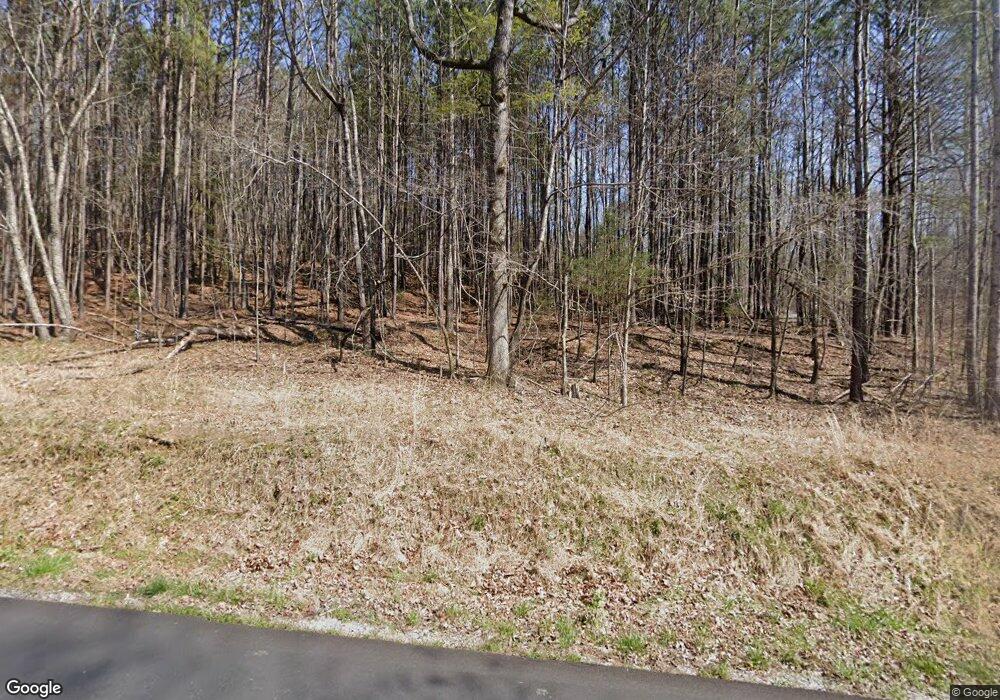
1061 Government Farm Rd Rockmart, GA 30153
Estimated Value: $460,000 - $620,000
4
Beds
3
Baths
4,498
Sq Ft
$121/Sq Ft
Est. Value
About This Home
This home is located at 1061 Government Farm Rd, Rockmart, GA 30153 and is currently estimated at $543,959, approximately $120 per square foot. 1061 Government Farm Rd is a home located in Polk County with nearby schools including Rockmart Middle School.
Ownership History
Date
Name
Owned For
Owner Type
Purchase Details
Closed on
Mar 3, 2023
Sold by
Brumbleow Jeffrey Blake
Bought by
Ballengee Mary E and Ballengee Theron L
Current Estimated Value
Home Financials for this Owner
Home Financials are based on the most recent Mortgage that was taken out on this home.
Original Mortgage
$384,000
Outstanding Balance
$371,858
Interest Rate
6.09%
Mortgage Type
New Conventional
Estimated Equity
$172,101
Purchase Details
Closed on
Sep 25, 2006
Sold by
Coolier Larry E
Bought by
Brumbelow Jeffrey Blake
Purchase Details
Closed on
Feb 2, 2005
Sold by
Wiggins Warren T
Bought by
Collier Larry E and Collier Angela M
Purchase Details
Closed on
Apr 20, 2001
Sold by
Albea Bruce B and Frank Shelley
Bought by
Wiggins Warren T and Wiggins Judy C
Create a Home Valuation Report for This Property
The Home Valuation Report is an in-depth analysis detailing your home's value as well as a comparison with similar homes in the area
Home Values in the Area
Average Home Value in this Area
Purchase History
| Date | Buyer | Sale Price | Title Company |
|---|---|---|---|
| Ballengee Mary E | $480,000 | -- | |
| Brumbelow Jeffrey Blake | $45,500 | -- | |
| Collier Larry E | $37,862 | -- | |
| Wiggins Warren T | $25,000 | -- |
Source: Public Records
Mortgage History
| Date | Status | Borrower | Loan Amount |
|---|---|---|---|
| Open | Ballengee Mary E | $384,000 |
Source: Public Records
Tax History Compared to Growth
Tax History
| Year | Tax Paid | Tax Assessment Tax Assessment Total Assessment is a certain percentage of the fair market value that is determined by local assessors to be the total taxable value of land and additions on the property. | Land | Improvement |
|---|---|---|---|---|
| 2024 | $4,608 | $220,434 | $7,797 | $212,637 |
| 2023 | $3,476 | $148,485 | $7,797 | $140,688 |
| 2022 | $3,069 | $131,313 | $5,198 | $126,115 |
| 2021 | $3,109 | $131,313 | $5,198 | $126,115 |
| 2020 | $3,115 | $131,313 | $5,198 | $126,115 |
| 2019 | $3,054 | $115,739 | $5,198 | $110,541 |
| 2018 | $2,679 | $99,210 | $5,198 | $94,012 |
| 2017 | $2,645 | $99,210 | $5,198 | $94,012 |
| 2016 | $2,671 | $100,165 | $6,153 | $94,012 |
| 2015 | $2,701 | $100,941 | $6,153 | $94,788 |
| 2014 | $2,720 | $100,941 | $6,153 | $94,788 |
Source: Public Records
Map
Nearby Homes
- 0 Hutchings Mountain Rd Unit 7653060
- 1044 Hutchings Mountain Rd
- 519 Township Ave
- 521 Township Ave
- 518 Township Ave
- 513 Township Ave
- 62 Woodhaven Path
- 780 Government Farm Rd
- 0 Brushy Mountain Unit 7595398
- 256 Eastwood Path
- 82 Lexie Ct
- 159 Lexie Ct
- 0 Paris Mountain Rd Unit 10466638
- 0 Paris Mountain Rd Unit 10295245
- 0 Paris Mountain Rd Unit 7380930
- 770 Vinson Mountain Rd
- 11+AC Vinson Mountain Rd
- 17+AC Vinson Mountain Rd
- 189 Sycamore St
- 179 Sycamore St
- 1021 Government Farm Rd
- 1080 Hutchings Mountain Rd
- 1080 Hutchings Mountain Rd
- 1070 Paris Mountain Rd
- 1144 Hutchins Mountain Rd
- 1144 Hutchings Mountain Rd
- 1160 Hutchings Mountain Rd
- 1160 Hutchins Mountain Rd
- 1003 Government Farm Rd
- 0 Hutchings Mountain Unit 8 3135148
- 0 Hutchings Mountain Unit 8 7094488
- 0 Hutchings Mountain Rd Unit 7121958
- 0 Hutchings Mountain Rd Unit 7122005
- 0 Hutchings Mountain Rd Unit 7201436
- 0 Hutchings Mountain Rd Unit 7591972
- 0 Hutchings Mountain Rd Unit 5167113
- 0 Hutchings Mountain Rd Unit 5234586
- 0 Hutchings Mountain Rd Unit 5649710
- 0 Hutchings Mountain Rd Unit 10026460
- 0 Hutchings Mountain Rd Unit 10081707
