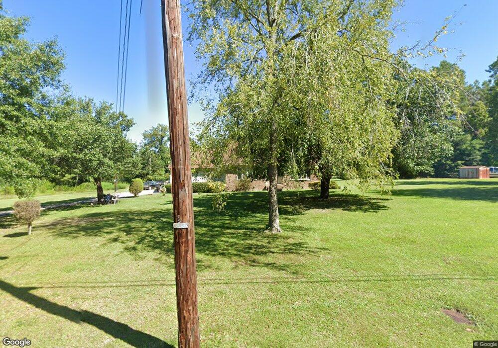
1061 Mason St Lagrange, GA 30241
Estimated Value: $193,000 - $290,000
3
Beds
4
Baths
2,785
Sq Ft
$91/Sq Ft
Est. Value
About This Home
This home is located at 1061 Mason St, Lagrange, GA 30241 and is currently estimated at $254,598, approximately $91 per square foot. 1061 Mason St is a home located in Troup County with nearby schools including Hollis Hand Elementary School, Franklin Forest Elementary School, and Ethel W. Kight Elementary School.
Ownership History
Date
Name
Owned For
Owner Type
Purchase Details
Closed on
Jul 8, 1997
Sold by
Greyfield Resources Icn
Bought by
Meadows Co Profit Sharing
Current Estimated Value
Purchase Details
Closed on
Jan 30, 1997
Sold by
Bray J
Bought by
Greyfield Resources Icn
Purchase Details
Closed on
Jun 1, 1987
Bought by
Bray J
Purchase Details
Closed on
May 1, 1987
Sold by
Bulloch
Purchase Details
Closed on
Aug 19, 1974
Bought by
Bulloch
Purchase Details
Closed on
Jan 1, 1972
Sold by
Bulloch Will O C
Purchase Details
Closed on
Jan 1, 1956
Sold by
John Ed Burnett
Bought by
Bulloch Will O C
Create a Home Valuation Report for This Property
The Home Valuation Report is an in-depth analysis detailing your home's value as well as a comparison with similar homes in the area
Home Values in the Area
Average Home Value in this Area
Purchase History
| Date | Buyer | Sale Price | Title Company |
|---|---|---|---|
| Meadows Co Profit Sharing | -- | -- | |
| Greyfield Resources Icn | $40,000 | -- | |
| Bray J | -- | -- | |
| -- | -- | -- | |
| Bulloch | -- | -- | |
| -- | -- | -- | |
| Bulloch Will O C | -- | -- |
Source: Public Records
Tax History Compared to Growth
Tax History
| Year | Tax Paid | Tax Assessment Tax Assessment Total Assessment is a certain percentage of the fair market value that is determined by local assessors to be the total taxable value of land and additions on the property. | Land | Improvement |
|---|---|---|---|---|
| 2024 | $1,337 | $78,084 | $9,440 | $68,644 |
| 2023 | $885 | $61,492 | $9,440 | $52,052 |
| 2022 | $817 | $57,892 | $9,440 | $48,452 |
| 2021 | $878 | $57,820 | $5,280 | $52,540 |
| 2020 | $1,744 | $57,820 | $5,280 | $52,540 |
| 2019 | $1,644 | $54,516 | $5,280 | $49,236 |
| 2018 | $1,645 | $54,536 | $5,176 | $49,360 |
| 2017 | $1,645 | $54,536 | $5,176 | $49,360 |
| 2016 | $1,655 | $54,868 | $5,176 | $49,692 |
| 2015 | $1,658 | $54,868 | $5,176 | $49,692 |
| 2014 | $1,581 | $52,252 | $5,176 | $47,076 |
| 2013 | -- | $54,610 | $5,176 | $49,434 |
Source: Public Records
Map
Nearby Homes
- 1017 Mason St
- 957 Kelley St
- 0 Kelley St Unit 10550311
- LOT 4 Borton St
- LOT 3 Borton St
- LOT 5 Borton St
- LOT 6 Borton St
- 913 Arizona St Unit A AND B
- 215 Poplar Cir
- 626 Smoot St
- 510 Smoot St
- 75 Thomas Rd
- 0 E Render St
- 0 Brown St Unit 10550761
- 0 Brown St Unit 10550754
- 117 Belk St
- 203 Revis St
- 205 Revis St
- 319 Cooley Rd
- LOT 58 Belk St
- 1069 Mason St
- 1053 Mason St
- 1020 Borton St
- 1056 Mason St
- 1054 Mason St
- 445 Merrywood Dr
- 449 Merrywood Dr
- 1049 Mason St
- 1046 Mason St
- 451 Merrywood Dr
- 447 Merrywood Dr
- 1017 Kelley St
- 1043 Mason St
- 450 Merrywood Dr
- 1040 Mason St
- 457 Merrywood Dr
- 1011 Kelley St
- 1021 Borton St
- 1023 Borton St
- 1036 Mason St