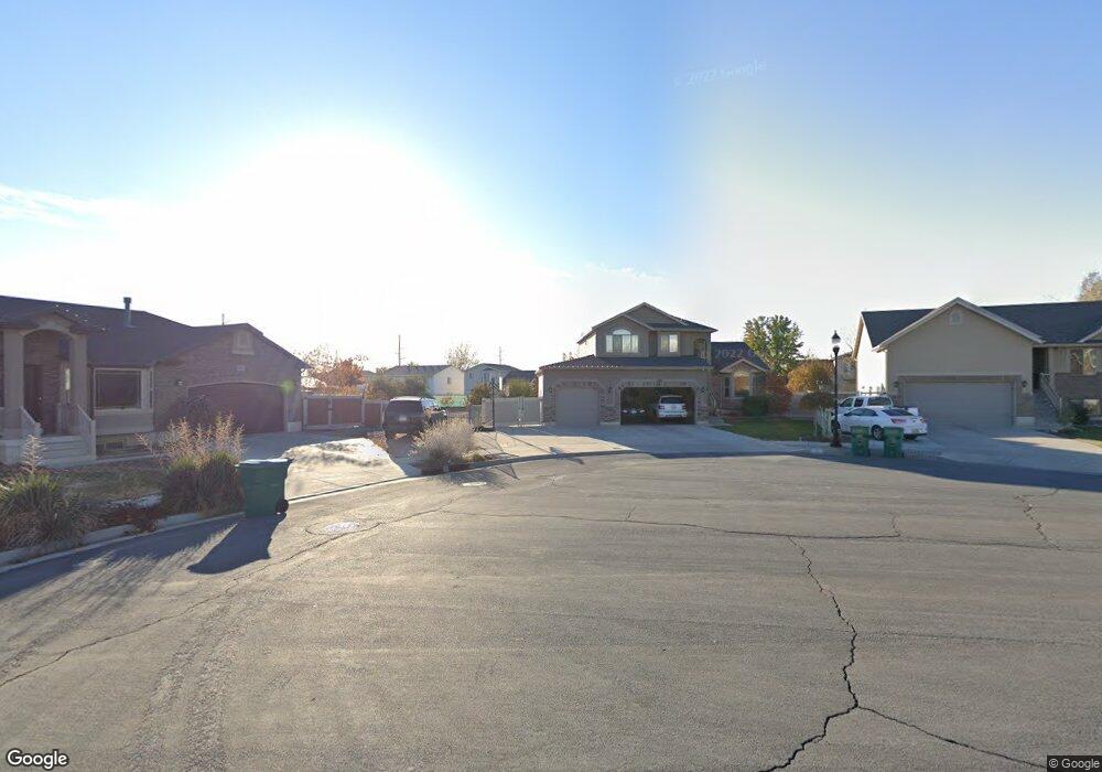
1061 N Jamie Matt Cir Unit 105 Layton, UT 84041
Estimated Value: $595,000 - $747,000
5
Beds
4
Baths
1,851
Sq Ft
$356/Sq Ft
Est. Value
About This Home
This home is located at 1061 N Jamie Matt Cir Unit 105, Layton, UT 84041 and is currently estimated at $659,754, approximately $356 per square foot. 1061 N Jamie Matt Cir Unit 105 is a home located in Davis County with nearby schools including Ellison Park School, Shoreline Junior High School, and Layton High School.
Ownership History
Date
Name
Owned For
Owner Type
Purchase Details
Closed on
Jun 19, 2013
Sold by
Destiny Homes
Bought by
Leclaire Richard B and Leclaire Maleesa K
Current Estimated Value
Home Financials for this Owner
Home Financials are based on the most recent Mortgage that was taken out on this home.
Original Mortgage
$278,350
Outstanding Balance
$197,029
Interest Rate
3.38%
Mortgage Type
New Conventional
Estimated Equity
$462,725
Create a Home Valuation Report for This Property
The Home Valuation Report is an in-depth analysis detailing your home's value as well as a comparison with similar homes in the area
Home Values in the Area
Average Home Value in this Area
Purchase History
| Date | Buyer | Sale Price | Title Company |
|---|---|---|---|
| Leclaire Richard B | -- | Mountain View Title |
Source: Public Records
Mortgage History
| Date | Status | Borrower | Loan Amount |
|---|---|---|---|
| Open | Leclaire Richard B | $278,350 |
Source: Public Records
Tax History Compared to Growth
Tax History
| Year | Tax Paid | Tax Assessment Tax Assessment Total Assessment is a certain percentage of the fair market value that is determined by local assessors to be the total taxable value of land and additions on the property. | Land | Improvement |
|---|---|---|---|---|
| 2025 | $3,217 | $337,700 | $132,512 | $205,188 |
| 2024 | $3,090 | $326,700 | $143,073 | $183,627 |
| 2023 | $3,080 | $574,000 | $148,685 | $425,315 |
| 2022 | $3,380 | $342,100 | $88,195 | $253,905 |
| 2021 | $2,961 | $447,000 | $132,286 | $314,714 |
| 2020 | $2,679 | $388,000 | $112,559 | $275,441 |
| 2019 | $2,616 | $371,000 | $112,434 | $258,566 |
| 2018 | $2,325 | $331,000 | $98,949 | $232,051 |
| 2016 | $2,234 | $164,120 | $40,441 | $123,679 |
| 2015 | $2,121 | $147,895 | $40,441 | $107,454 |
| 2014 | $2,204 | $157,121 | $40,441 | $116,680 |
Source: Public Records
Map
Nearby Homes
- 1061 N 2475 W
- 1071 N Jamie Matt Cir Unit 104
- 1071 N 2475 W
- 1055 N 2475 W
- 1068 N 2525 W
- 1054 N 2525 W
- 1085 N Jamie Matt Cir Unit 103
- 1085 N Jamie Matt Cir
- 1085 N 2475 W
- 1038 N 2525 W
- 1082 N 2525 W
- 1075 Jamie-Matt Cir
- 1099 N Jamie Matt Cir Unit 102
- 1099 N 2475 W
- 1024 N 2525 W
- 1080 N Jamie Matt Cir Unit 106
- 1080 N 2475 W
- 1098 N 2525 W
- 2462 W Gordon Ave
- 1096 N 2475 W