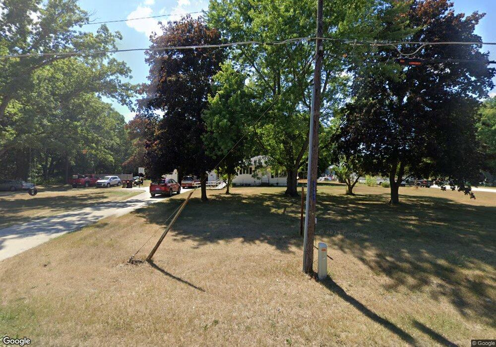
1061 S Maple Island Rd Muskegon, MI 49442
Estimated Value: $183,471 - $231,000
2
Beds
1
Bath
896
Sq Ft
$229/Sq Ft
Est. Value
About This Home
This home is located at 1061 S Maple Island Rd, Muskegon, MI 49442 and is currently estimated at $205,368, approximately $229 per square foot. 1061 S Maple Island Rd is a home located in Muskegon County with nearby schools including Oakridge Lower Elementary School, Oakridge Upper Elementary School, and Oakridge Middle School.
Ownership History
Date
Name
Owned For
Owner Type
Purchase Details
Closed on
Aug 31, 2021
Sold by
Foster Edytha
Bought by
Foster Jeffery V
Current Estimated Value
Home Financials for this Owner
Home Financials are based on the most recent Mortgage that was taken out on this home.
Original Mortgage
$65,570
Outstanding Balance
$55,123
Interest Rate
2.7%
Mortgage Type
New Conventional
Estimated Equity
$150,245
Purchase Details
Closed on
Aug 27, 2021
Sold by
Wever Roylynn and Foster Virgile
Bought by
Foster Edytha
Home Financials for this Owner
Home Financials are based on the most recent Mortgage that was taken out on this home.
Original Mortgage
$65,570
Outstanding Balance
$55,123
Interest Rate
2.7%
Mortgage Type
New Conventional
Estimated Equity
$150,245
Purchase Details
Closed on
Oct 5, 2009
Sold by
Wever Sterling and Wever Roylynn H
Bought by
Foster Edytha and Wever Roylynn
Create a Home Valuation Report for This Property
The Home Valuation Report is an in-depth analysis detailing your home's value as well as a comparison with similar homes in the area
Home Values in the Area
Average Home Value in this Area
Purchase History
| Date | Buyer | Sale Price | Title Company |
|---|---|---|---|
| Foster Jeffery V | $120,000 | Ata National Title Group Llc | |
| Foster Edytha | -- | None Available | |
| Foster Edytha | -- | None Available |
Source: Public Records
Mortgage History
| Date | Status | Borrower | Loan Amount |
|---|---|---|---|
| Open | Foster Jeffery V | $65,570 |
Source: Public Records
Tax History Compared to Growth
Tax History
| Year | Tax Paid | Tax Assessment Tax Assessment Total Assessment is a certain percentage of the fair market value that is determined by local assessors to be the total taxable value of land and additions on the property. | Land | Improvement |
|---|---|---|---|---|
| 2025 | $1,358 | $82,900 | $0 | $0 |
| 2024 | $410 | $77,900 | $0 | $0 |
| 2023 | $392 | $66,400 | $0 | $0 |
| 2022 | $1,239 | $57,100 | $0 | $0 |
| 2021 | $1,167 | $52,500 | $0 | $0 |
| 2020 | $1,102 | $49,800 | $0 | $0 |
| 2019 | $1,046 | $45,900 | $0 | $0 |
| 2018 | $1,022 | $42,600 | $0 | $0 |
| 2017 | $1,041 | $39,600 | $0 | $0 |
| 2016 | $334 | $36,500 | $0 | $0 |
| 2015 | -- | $33,600 | $0 | $0 |
| 2014 | -- | $33,400 | $0 | $0 |
| 2013 | -- | $31,900 | $0 | $0 |
Source: Public Records
Map
Nearby Homes
- 1162 Barnes Rd
- 7100 Annabell Dr
- 897 Van Eyck St
- 404 Sabine Dr Unit 9
- 400 Sabine Dr Unit 8
- 401 Sabine #31 Dr
- 1242 Brian Dr
- 1179 Brian Dr
- 6354 Lazy Oak Trail
- 1250 Woodridge St
- 1366 S Wolf Lake Rd
- 5686 Jefferson Ave
- 1180 S Bolen Rd
- 444 Grover Rd
- 155 S Kensington St
- 464 Grover Rd
- 1342 Parkway St
- 6027 Vesper Dr
- 155 Vista Terrace
- 5122 Rose Ave
- 1037 S Maple Island Rd
- 1056 S Maple Island Rd
- 7211 E Apple Ave
- 1116 S Maple Island Rd
- 1144 S Maple Island Rd
- 7245 E Apple Ave
- 7162 E Apple Ave
- 7320 Dean St
- 7320 Dean Dr
- 7244 E Apple Ave
- 7279 E Apple Ave
- 7322 Dean Dr
- 7322 Dean St
- 7309 E Apple Ave
- 6986 E Apple Ave
- 7329 E Apple Ave
- 1210 S Maple Island Rd
- 1184 S Maple Island Rd
- 1231 S Maple Island Rd
- 1226 S Maple Island Rd