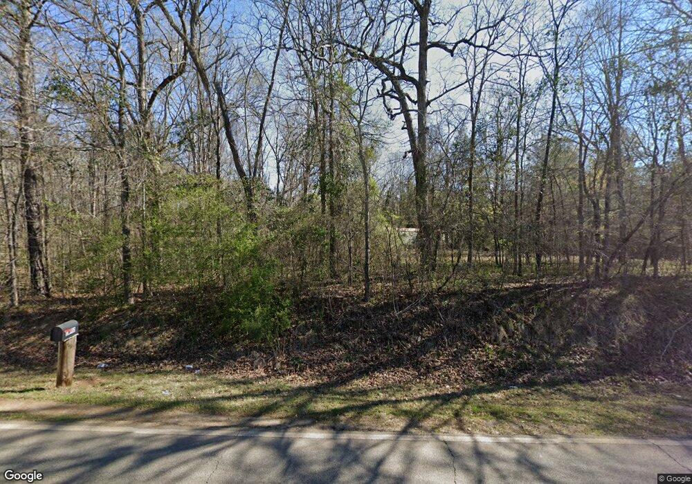
1061 Sims Bridge Rd Commerce, GA 30530
Estimated Value: $345,599 - $374,000
3
Beds
2
Baths
1,120
Sq Ft
$321/Sq Ft
Est. Value
About This Home
This home is located at 1061 Sims Bridge Rd, Commerce, GA 30530 and is currently estimated at $359,650, approximately $321 per square foot. 1061 Sims Bridge Rd is a home located in Banks County with nearby schools including Banks County Primary School, Banks County Elementary School, and Banks County Middle School.
Ownership History
Date
Name
Owned For
Owner Type
Purchase Details
Closed on
May 6, 2019
Sold by
Byers Dorinda Gay
Bought by
Contreras Prudencio Julio Arnoldo Guembes and Contreras De Guembes Maria
Current Estimated Value
Home Financials for this Owner
Home Financials are based on the most recent Mortgage that was taken out on this home.
Original Mortgage
$179,450
Outstanding Balance
$156,462
Interest Rate
4%
Mortgage Type
New Conventional
Estimated Equity
$203,188
Purchase Details
Closed on
Jun 30, 2017
Sold by
Byers Verlin Lee
Bought by
Byers Dorinda Gay
Create a Home Valuation Report for This Property
The Home Valuation Report is an in-depth analysis detailing your home's value as well as a comparison with similar homes in the area
Home Values in the Area
Average Home Value in this Area
Purchase History
| Date | Buyer | Sale Price | Title Company |
|---|---|---|---|
| Contreras Prudencio Julio Arnoldo Guembes | $185,000 | -- | |
| Byers Dorinda Gay | -- | -- |
Source: Public Records
Mortgage History
| Date | Status | Borrower | Loan Amount |
|---|---|---|---|
| Open | Contreras Prudencio Julio Arnoldo Guembes | $179,450 |
Source: Public Records
Tax History Compared to Growth
Tax History
| Year | Tax Paid | Tax Assessment Tax Assessment Total Assessment is a certain percentage of the fair market value that is determined by local assessors to be the total taxable value of land and additions on the property. | Land | Improvement |
|---|---|---|---|---|
| 2025 | $2,235 | $117,063 | $43,645 | $73,418 |
| 2024 | $2,235 | $110,497 | $39,677 | $70,820 |
| 2023 | $2,177 | $96,966 | $36,073 | $60,893 |
| 2022 | $1,674 | $79,663 | $26,829 | $52,834 |
| 2021 | $1,542 | $68,999 | $19,690 | $49,309 |
| 2020 | $1,394 | $60,775 | $16,546 | $44,229 |
| 2019 | $911 | $59,531 | $16,546 | $42,985 |
| 2018 | $850 | $56,270 | $16,546 | $39,724 |
| 2017 | $690 | $48,227 | $12,696 | $35,531 |
| 2016 | $710 | $48,227 | $12,696 | $35,531 |
| 2015 | $738 | $46,976 | $12,696 | $34,280 |
| 2014 | $738 | $51,220 | $16,940 | $34,280 |
| 2013 | -- | $51,220 | $16,940 | $34,280 |
Source: Public Records
Map
Nearby Homes
- 0 Freedom Ln Unit 9B
- 0 Freedom Ln Unit 18C 10380663
- 0 Freedom Ln Unit 9D
- 0 Freedom Ln Unit 9C
- 0 Freedom Ln Unit 18B 10379747
- 0 Freedom Ln Unit 9E
- 166 Freedom Ln
- 731 Borders Rd
- 333 Sims Bridge Rd
- 163 M t Trail
- 139 Meadow Lake Dr
- 1065 Hebron Rd
- 161 Meadow Lake Dr
- 0 Highway 59 Unit 10257590
- 0 Highway 59 Unit 10257605
- 119 Gordon Rd
- 0 Carson Rd Unit LOT 32 10594149
- 0 Carson Rd Unit 7640890
- 0 Varner Rd
- 3210 Plan at Chambers Landing
- 1061 Sims Bridge Rd Unit 3
- 1049 Sims Bridge Rd
- 228 Marigold Ln
- 1021 Sims Bridge Rd
- 1045 Sims Bridge Rd
- 1090 Sims Bridge Rd
- 163 Marigold Ln
- 000 Sims Bridge Rd
- 1147 Sims Bridge Rd
- 143 Marigold Ln
- 101 Freedom Ln
- 185 Marigold Ln
- 7 Freedom Ln
- 7 Freedom Ln Unit 19
- B0 Freedom Ln
- 228 Borders Rd
- 1150 Sims Bridge Rd
- 220 Borders Rd
- 125 Freedom Ln
- 197 Hawk Dr
