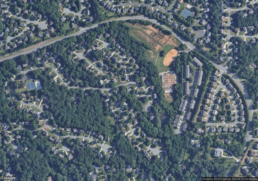
10610 Aviary Dr Alpharetta, GA 30022
Estimated Value: $809,967 - $869,000
4
Beds
3
Baths
3,256
Sq Ft
$255/Sq Ft
Est. Value
About This Home
This home is located at 10610 Aviary Dr, Alpharetta, GA 30022 and is currently estimated at $829,992, approximately $254 per square foot. 10610 Aviary Dr is a home located in Fulton County with nearby schools including State Bridge Crossing Elementary School, Taylor Road Middle School, and Chattahoochee High School.
Ownership History
Date
Name
Owned For
Owner Type
Purchase Details
Closed on
May 30, 2003
Sold by
Taber Daniel J and Taber Nancy K
Bought by
Mcvay Christopher S and Mcvay Sarah
Current Estimated Value
Home Financials for this Owner
Home Financials are based on the most recent Mortgage that was taken out on this home.
Original Mortgage
$259,200
Outstanding Balance
$102,954
Interest Rate
4.5%
Mortgage Type
Unknown
Estimated Equity
$727,038
Purchase Details
Closed on
Mar 18, 1993
Sold by
Swart Michael P Diane A
Bought by
Taber Daniel J Nancy K
Home Financials for this Owner
Home Financials are based on the most recent Mortgage that was taken out on this home.
Original Mortgage
$195,200
Interest Rate
7.57%
Create a Home Valuation Report for This Property
The Home Valuation Report is an in-depth analysis detailing your home's value as well as a comparison with similar homes in the area
Home Values in the Area
Average Home Value in this Area
Purchase History
| Date | Buyer | Sale Price | Title Company |
|---|---|---|---|
| Mcvay Christopher S | $324,000 | -- | |
| Mcvay Christopher Scott | $324,000 | -- | |
| Taber Daniel J Nancy K | $205,500 | -- |
Source: Public Records
Mortgage History
| Date | Status | Borrower | Loan Amount |
|---|---|---|---|
| Open | Mcvay Christopher Scott | $259,200 | |
| Closed | Mcvay Christopher S | $259,200 | |
| Previous Owner | Taber Daniel J Nancy K | $195,200 |
Source: Public Records
Tax History Compared to Growth
Tax History
| Year | Tax Paid | Tax Assessment Tax Assessment Total Assessment is a certain percentage of the fair market value that is determined by local assessors to be the total taxable value of land and additions on the property. | Land | Improvement |
|---|---|---|---|---|
| 2025 | $4,790 | $293,520 | $77,200 | $216,320 |
| 2023 | $8,162 | $289,160 | $56,800 | $232,360 |
| 2022 | $4,587 | $219,960 | $42,320 | $177,640 |
| 2021 | $4,538 | $190,040 | $34,280 | $155,760 |
| 2020 | $4,558 | $172,720 | $40,520 | $132,200 |
| 2019 | $569 | $169,640 | $39,800 | $129,840 |
| 2018 | $4,678 | $165,680 | $38,880 | $126,800 |
| 2017 | $4,502 | $150,040 | $29,080 | $120,960 |
| 2016 | $4,407 | $150,040 | $29,080 | $120,960 |
| 2015 | $4,455 | $150,040 | $29,080 | $120,960 |
| 2014 | $4,316 | $139,240 | $33,840 | $105,400 |
Source: Public Records
Map
Nearby Homes
- 5170 Cameron Forest Pkwy
- 220 Magnolia Tree Ct
- 465 Mikasa Dr
- 5425 Taylor Rd Unit 2
- 230 Pinebridge Ct
- 10296 Quadrant Ct Unit 76
- 5640 Sandown Way
- 10281 Midway Ave
- 10265 Minion Ct Unit 27
- 10570 Bridgemor Dr
- 230 Skidaway Ct
- 10840 Mortons Crossing
- 225 Morton Creek Cir
- 10275 Groomsbridge Rd
- 10285 Groomsbridge Rd Unit 5
- 11035 Parsons Rd
- 10600 Aviary Dr
- 10615 Wren Ridge Rd
- 10620 Aviary Dr
- 10605 Wren Ridge Rd
- 900 Nightingale Walk
- 10590 Aviary Dr
- 10645 Wren Ridge Rd
- 10595 Wren Ridge Rd
- 0 Wren Ridge Rd Unit 7464184
- 0 Wren Ridge Rd Unit 7438855
- 0 Wren Ridge Rd Unit 7410438
- 0 Wren Ridge Rd Unit 7404167
- 0 Wren Ridge Rd Unit 7295483
- 0 Wren Ridge Rd Unit 7245271
- 0 Wren Ridge Rd Unit 7216923
- 0 Wren Ridge Rd Unit 7145641
- 0 Wren Ridge Rd Unit 7075632
- 0 Wren Ridge Rd Unit 3201342
- 0 Wren Ridge Rd Unit 3203458
- 0 Wren Ridge Rd Unit 8847559
