Estimated Value: $181,000 - $537,221
2
Beds
2
Baths
1,750
Sq Ft
$205/Sq Ft
Est. Value
About This Home
This home is located at 10610 Lanes Bridge Rd, Jesup, GA 31545 and is currently estimated at $358,074, approximately $204 per square foot. 10610 Lanes Bridge Rd is a home with nearby schools including Odum Elementary School, Martha Puckett Middle School, and Wayne County High School.
Ownership History
Date
Name
Owned For
Owner Type
Purchase Details
Closed on
Oct 15, 2018
Sold by
Brown Bryant William
Bought by
Morgin Beverly and Brown Nelson B
Current Estimated Value
Purchase Details
Closed on
Dec 22, 2016
Sold by
Nelson B
Bought by
Brown Bryant William
Purchase Details
Closed on
Dec 21, 2016
Sold by
Poppell Lois
Bought by
Brown Nelson B
Purchase Details
Closed on
Dec 1, 2003
Bought by
Cameron Elbert
Purchase Details
Closed on
Jul 1, 1997
Purchase Details
Closed on
Aug 1, 1989
Create a Home Valuation Report for This Property
The Home Valuation Report is an in-depth analysis detailing your home's value as well as a comparison with similar homes in the area
Home Values in the Area
Average Home Value in this Area
Purchase History
| Date | Buyer | Sale Price | Title Company |
|---|---|---|---|
| Morgin Beverly | -- | -- | |
| Brown Bryant William | -- | -- | |
| Brown Nelson B | $100,000 | -- | |
| Cameron Elbert | -- | -- | |
| -- | -- | -- | |
| -- | -- | -- |
Source: Public Records
Tax History Compared to Growth
Tax History
| Year | Tax Paid | Tax Assessment Tax Assessment Total Assessment is a certain percentage of the fair market value that is determined by local assessors to be the total taxable value of land and additions on the property. | Land | Improvement |
|---|---|---|---|---|
| 2024 | $4,863 | $193,698 | $16,877 | $176,821 |
| 2023 | $5,148 | $171,595 | $16,877 | $154,718 |
| 2022 | $1,130 | $46,280 | $16,877 | $29,403 |
| 2021 | $215 | $16,877 | $16,877 | $0 |
| 2020 | $641 | $28,980 | $16,844 | $12,136 |
| 2019 | $159 | $16,844 | $16,844 | $0 |
| 2018 | $1,035 | $67,445 | $45,078 | $22,367 |
| 2017 | $197 | $45,198 | $45,078 | $120 |
| 2016 | $185 | $45,198 | $45,078 | $120 |
| 2014 | $175 | $45,198 | $45,078 | $120 |
| 2013 | -- | $120 | $0 | $120 |
Source: Public Records
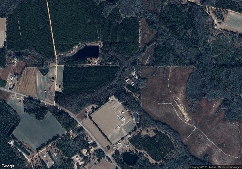
Map
Nearby Homes
- 128 Three C Rd
- 236 Three C Rd
- 17380 Lanes Bridge Rd
- 17614 Lanes Bridge Rd
- 272 Three C Rd
- 300 Three C Rd
- 11235 Lanes Bridge Rd
- 192 Hummingbird Ln
- 92 Sparrow Ln
- 2936 Madray Springs Rd
- 192 Northshore Ave
- 200 Northshore Ave
- 438 Boardwalk Ave
- 88 Northshore Ave
- 177 Northshore Ave
- Morris Break Rd
- Morris Break Rd
- Morris Break Rd
- 440 Arnold River Rd
- 0 Old River Rd Unit 10329316
- 10616 Lanes Bridge Rd
- 10608 Lanes Bridge Rd
- 65 Three C Rd
- 10535 Lanes Bridge Rd
- 1155 Melvin Westberry Rd
- 195 Three C Rd
- 1052 Melvin Westberry Rd Unit 1176
- 0 Tree Top Ln
- 27 Tree Top Ln
- 0 Treetop Ln Unit 10081923
- 0 Treetop Ln Unit 10081919
- 00 Tree Top Ln
- 0 Treetop Ln Unit 1634803
- 27 Treetops Ln
- 75 Treetop Ln
- 107 Tree Top Ln
- 01 Lanes Bridge Rd
- 02 Lanes Bridge Rd
- 15879 Lanes Bridge Rd
- Hwy 169 Lanes Bridge Rd