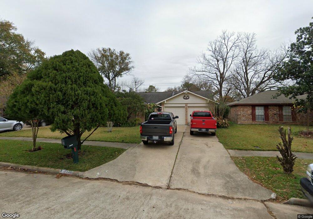
10610 Mackenzie Dr Houston, TX 77086
North Houston NeighborhoodEstimated Value: $205,527 - $245,000
3
Beds
2
Baths
1,472
Sq Ft
$157/Sq Ft
Est. Value
About This Home
This home is located at 10610 Mackenzie Dr, Houston, TX 77086 and is currently estimated at $230,882, approximately $156 per square foot. 10610 Mackenzie Dr is a home located in Harris County with nearby schools including Kujawa EC/Pre-K/K School, Carmichael Elementary School, and Shotwell Middle School.
Ownership History
Date
Name
Owned For
Owner Type
Purchase Details
Closed on
Nov 28, 2011
Sold by
Reyes Santos I
Bought by
Reyes Virginia
Current Estimated Value
Purchase Details
Closed on
Jul 8, 1994
Sold by
Va
Bought by
Reyes Santos I and Reyes Virginia
Home Financials for this Owner
Home Financials are based on the most recent Mortgage that was taken out on this home.
Original Mortgage
$56,260
Interest Rate
8.52%
Mortgage Type
Seller Take Back
Purchase Details
Closed on
Dec 7, 1993
Sold by
Dabbs Kenneth D
Bought by
Va
Create a Home Valuation Report for This Property
The Home Valuation Report is an in-depth analysis detailing your home's value as well as a comparison with similar homes in the area
Home Values in the Area
Average Home Value in this Area
Purchase History
| Date | Buyer | Sale Price | Title Company |
|---|---|---|---|
| Reyes Virginia | -- | American Title Company | |
| Reyes Santos I | -- | -- | |
| Va | -- | -- |
Source: Public Records
Mortgage History
| Date | Status | Borrower | Loan Amount |
|---|---|---|---|
| Closed | Reyes Santos I | $56,260 |
Source: Public Records
Tax History Compared to Growth
Tax History
| Year | Tax Paid | Tax Assessment Tax Assessment Total Assessment is a certain percentage of the fair market value that is determined by local assessors to be the total taxable value of land and additions on the property. | Land | Improvement |
|---|---|---|---|---|
| 2025 | $1,196 | $203,253 | $39,117 | $164,136 |
| 2024 | $1,196 | $203,253 | $39,117 | $164,136 |
| 2023 | $1,196 | $210,002 | $39,117 | $170,885 |
| 2022 | $3,951 | $176,753 | $33,150 | $143,603 |
| 2021 | $3,583 | $147,566 | $33,150 | $114,416 |
| 2020 | $3,726 | $138,035 | $33,150 | $104,885 |
| 2019 | $3,721 | $132,585 | $16,905 | $115,680 |
| 2018 | $1,444 | $125,587 | $16,905 | $108,682 |
| 2017 | $3,131 | $117,600 | $15,180 | $102,420 |
| 2016 | $2,846 | $105,160 | $15,180 | $89,980 |
| 2015 | $2,032 | $99,181 | $15,180 | $84,001 |
| 2014 | $2,032 | $74,991 | $15,180 | $59,811 |
Source: Public Records
Map
Nearby Homes
- 10614 Mackenzie Dr
- 10711 Heather Hill Dr
- 10307 Bammel North Houston Rd
- 10723 Mackenzie Dr
- 7023 Sandswept Ln
- 7218 Winding Trace Dr
- 7302 Seton Lake Dr
- 7002 Sandswept Ln
- 7222 Northleaf Dr
- 7307 Silver Star Dr
- 7227 Greenyard Dr
- 6911 Silver Star Dr
- 6722 Winding Trace Dr
- 11007 Tobasa Ct
- 6822 Dusty Dawn Dr
- 6654 Brownie Campbell Rd
- 9815 Lonsford Dr
- 11006 Crinkleawn Dr
- 6830 Desert Rose Ln
- 6630 Brownie Campbell Rd
- 10606 Mackenzie Dr
- 10602 Mackenzie Dr
- 10607 Heather Hill Dr
- 10618 Mackenzie Dr
- 10611 Heather Hill Dr
- 10603 Heather Hill Dr
- 10615 Heather Hill Dr
- 10527 Heather Hill Dr
- 10526 Mackenzie Dr
- 10622 Mackenzie Dr
- 10611 Mackenzie Dr
- 10615 Mackenzie Dr
- 10607 Mackenzie Dr
- 10619 Mackenzie Dr
- 10619 Heather Hill Dr
- 10523 Heather Hill Dr
- 10603 Mackenzie Dr
- 10522 Mackenzie Dr
- 10623 Mackenzie Dr
- 10527 Mackenzie Dr