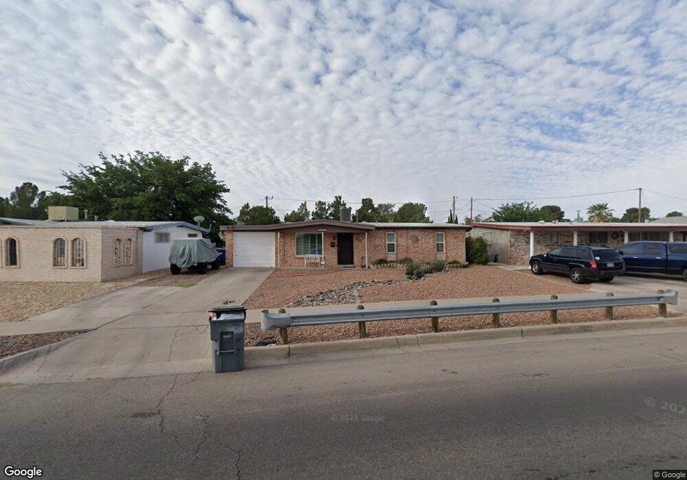
10612 Album Ave El Paso, TX 79935
Pico Norte NeighborhoodEstimated Value: $165,617 - $194,000
--
Bed
2
Baths
1,053
Sq Ft
$170/Sq Ft
Est. Value
About This Home
This home is located at 10612 Album Ave, El Paso, TX 79935 and is currently estimated at $179,154, approximately $170 per square foot. 10612 Album Ave is a home located in El Paso County with nearby schools including East Point Elementary School, Eastwood Middle School, and Eastwood High School.
Ownership History
Date
Name
Owned For
Owner Type
Purchase Details
Closed on
Apr 9, 2019
Sold by
Valdez David and Valdez Thomas A
Bought by
Ortiz Eva and Ortiz Jason
Current Estimated Value
Purchase Details
Closed on
Jan 22, 2001
Sold by
Brettenbach John D
Bought by
Valdez Eva
Home Financials for this Owner
Home Financials are based on the most recent Mortgage that was taken out on this home.
Original Mortgage
$50,000
Interest Rate
7.43%
Purchase Details
Closed on
May 6, 1998
Sold by
Clausing Susan
Bought by
Breitenbach Virgina Carolina
Purchase Details
Closed on
Mar 22, 1998
Sold by
Breitenbach Virginia Carolina
Bought by
Breitenbach John D
Create a Home Valuation Report for This Property
The Home Valuation Report is an in-depth analysis detailing your home's value as well as a comparison with similar homes in the area
Home Values in the Area
Average Home Value in this Area
Purchase History
| Date | Buyer | Sale Price | Title Company |
|---|---|---|---|
| Ortiz Eva | -- | None Available | |
| Valdez Eva | -- | -- | |
| Breitenbach Virgina Carolina | -- | Commonwealth Land Title | |
| Breitenbach John D | -- | Commonwealth Land Title |
Source: Public Records
Mortgage History
| Date | Status | Borrower | Loan Amount |
|---|---|---|---|
| Previous Owner | Valdez Eva | $50,000 |
Source: Public Records
Tax History Compared to Growth
Tax History
| Year | Tax Paid | Tax Assessment Tax Assessment Total Assessment is a certain percentage of the fair market value that is determined by local assessors to be the total taxable value of land and additions on the property. | Land | Improvement |
|---|---|---|---|---|
| 2025 | $1,916 | $142,802 | -- | -- |
| 2024 | $1,916 | $129,820 | -- | -- |
| 2023 | $1,859 | $118,018 | $0 | $0 |
| 2022 | $3,332 | $107,289 | $0 | $0 |
| 2021 | $3,170 | $104,609 | $19,314 | $85,295 |
| 2020 | $2,801 | $88,668 | $17,531 | $71,137 |
| 2018 | $2,744 | $88,228 | $17,531 | $70,697 |
| 2017 | $2,713 | $88,755 | $17,531 | $71,224 |
| 2016 | $2,713 | $88,755 | $17,531 | $71,224 |
| 2015 | $1,629 | $88,755 | $17,531 | $71,224 |
| 2014 | $1,629 | $92,573 | $17,531 | $75,042 |
Source: Public Records
Map
Nearby Homes
- 2224 Escarpa Dr
- 10512 Album Ave
- 2701 Brady Place
- 2801 Brady Place
- 2105 Pacheco Dr
- 2412 Penwood Dr
- 2109 Febrero Dr
- 2912 Chaswood St
- 10309 Woodruff Ct
- 10304 Woodruff Ct
- 3101 Vogue Dr
- 10712 Gay Brewer Dr
- 1909 Crow Dr
- 3112 Eads Place
- 2313 Frank Beard Dr
- 3000 Woodall St
- 3150 N Yarbrough Dr Unit A1
- 10313 Byway Dr
- 10304 Blackwood Ave
- 10233 Byway Dr
- 10608 Album Ave
- 10616 Album Ave
- 2319 Escarpa Dr
- 10604 Album Ave
- 2317 Escarpa Dr
- 2322 Cumbre Negra St
- 10600 Album Ave
- 2320 Cumbre Negra St
- 2315 Escarpa Dr
- 2318 Cumbre Negra St
- 2316 Cumbre Negra St
- 2601 Cumbre Negra St
- 2316 Escarpa Dr
- 2313 Escarpa Dr
- 2312 Cumbre Negra St
- 2312 Escarpa Dr
- 2321 Cumbre Negra St
- 2329 Cumbre Negra St
- 2311 Escarpa Dr
- 2325 Cumbre Negra St