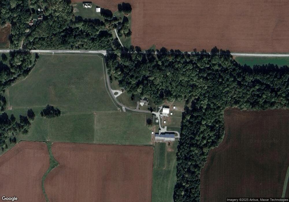
10615 E 700 N Lafayette, IN 47905
Estimated Value: $488,000 - $653,000
Studio
--
Bath
2,436
Sq Ft
$232/Sq Ft
Est. Value
About This Home
This home is located at 10615 E 700 N, Lafayette, IN 47905 and is currently estimated at $565,239, approximately $232 per square foot. 10615 E 700 N is a home located in Tippecanoe County with nearby schools including Hershey Elementary School, East Tipp Middle School, and William Henry Harrison High School.
Ownership History
Date
Name
Owned For
Owner Type
Purchase Details
Closed on
Oct 8, 2012
Sold by
Mithoefer Dorsets Llc
Bought by
Mithoefer Stanley and Mithoefer Alice
Current Estimated Value
Create a Home Valuation Report for This Property
The Home Valuation Report is an in-depth analysis detailing your home's value as well as a comparison with similar homes in the area
Purchase History
| Date | Buyer | Sale Price | Title Company |
|---|---|---|---|
| Mithoefer Stanley | -- | None Available |
Source: Public Records
Tax History
| Year | Tax Paid | Tax Assessment Tax Assessment Total Assessment is a certain percentage of the fair market value that is determined by local assessors to be the total taxable value of land and additions on the property. | Land | Improvement |
|---|---|---|---|---|
| 2024 | $3,575 | $469,300 | $36,600 | $432,700 |
| 2023 | $3,553 | $464,100 | $36,600 | $427,500 |
| 2022 | $3,438 | $425,300 | $36,600 | $388,700 |
| 2021 | $2,970 | $371,300 | $36,600 | $334,700 |
| 2020 | $2,713 | $349,700 | $36,600 | $313,100 |
| 2019 | $2,625 | $342,500 | $36,600 | $305,900 |
| 2018 | $2,440 | $330,100 | $31,700 | $298,400 |
| 2017 | $2,387 | $320,200 | $31,700 | $288,500 |
| 2016 | $2,311 | $315,100 | $31,700 | $283,400 |
| 2014 | $1,912 | $273,100 | $31,700 | $241,400 |
| 2013 | $2,027 | $275,000 | $31,700 | $243,300 |
Source: Public Records
Map
Nearby Homes
- 8649 W Division Line Rd
- 7561 Ridgeview Ln
- 35 Pond View Dr
- 1158 N Deer Meadows Rd
- 7930 W 550 S
- 2075 N 925 W
- 8538 E 300 N
- 204 Armory Rd
- 409 Heritage Dr
- 411 Heritage Dr
- 232 W Vine St
- 230 W Vine St
- 228 W Vine St
- 128 W Summit St
- 10712 E 200 N
- 112 Williston Ct
- 116 Williston Ct
- 2801 N 930 W Unit 10
- 317 N Market St
- 111 Riley Meadows Dr
- 10611 E 700 N
- 10422 E 700 N
- 1953 S 900 W
- 10208 E 700 N
- 6928 N County Line Rd E
- 7124 N County Line Rd E
- 10201 E 700 N
- 10136 E 700 N
- 10135 E 700 N
- 10129 E 700 N
- 10132 E 700 N
- 10130 E 700 N
- 10128 E 700 N
- 10134 Railroad St
- 0 Raildroad St Unit 201553232
- 10114 E 700 N
- 10117 1st St
- 10121 Carney St
- 6934 Railroad St
- 7304 N Co Line E Rd E
Your Personal Tour Guide
Ask me questions while you tour the home.