Estimated Value: $241,000 - $278,000
2
Beds
1
Bath
1,099
Sq Ft
$237/Sq Ft
Est. Value
About This Home
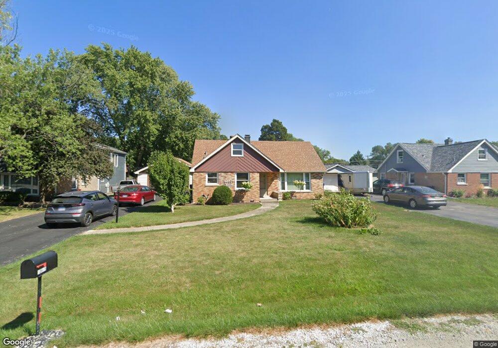
This home is located at 10615 S Depot St, Worth, IL 60482 and is currently estimated at $260,860, approximately $237 per square foot. 10615 S Depot St is a home located in Cook County with nearby schools including Worthwoods Elementary School, Worth Jr High School, and A B Shepard High School.
Ownership History
Date
Name
Owned For
Owner Type
Purchase Details
Closed on
Sep 3, 1999
Sold by
Olson Norman R and Massey Carol A
Bought by
Rasmussen Richard F and Rasmussen Christine A
Current Estimated Value
Home Financials for this Owner
Home Financials are based on the most recent Mortgage that was taken out on this home.
Original Mortgage
$128,000
Outstanding Balance
$38,268
Interest Rate
7.93%
Estimated Equity
$222,592
Create a Home Valuation Report for This Property
The Home Valuation Report is an in-depth analysis detailing your home's value as well as a comparison with similar homes in the area
Home Values in the Area
Average Home Value in this Area
Purchase History
| Date | Buyer | Sale Price | Title Company |
|---|---|---|---|
| Rasmussen Richard F | $138,500 | -- |
Source: Public Records
Mortgage History
| Date | Status | Borrower | Loan Amount |
|---|---|---|---|
| Open | Rasmussen Richard F | $128,000 |
Source: Public Records
Tax History Compared to Growth
Tax History
| Year | Tax Paid | Tax Assessment Tax Assessment Total Assessment is a certain percentage of the fair market value that is determined by local assessors to be the total taxable value of land and additions on the property. | Land | Improvement |
|---|---|---|---|---|
| 2024 | $6,332 | $21,000 | $7,935 | $13,065 |
| 2023 | $5,490 | $21,000 | $7,935 | $13,065 |
| 2022 | $5,490 | $16,436 | $6,900 | $9,536 |
| 2021 | $5,319 | $16,435 | $6,900 | $9,535 |
| 2020 | $5,290 | $16,435 | $6,900 | $9,535 |
| 2019 | $4,531 | $14,225 | $6,210 | $8,015 |
| 2018 | $4,510 | $14,225 | $6,210 | $8,015 |
| 2017 | $4,532 | $14,225 | $6,210 | $8,015 |
| 2016 | $4,495 | $12,542 | $5,175 | $7,367 |
| 2015 | $4,358 | $12,542 | $5,175 | $7,367 |
| 2014 | $3,505 | $12,542 | $5,175 | $7,367 |
| 2013 | $4,822 | $15,056 | $5,175 | $9,881 |
Source: Public Records
Map
Nearby Homes
- 10609 Southwest Hwy Unit 2A
- 10718 S Worth Ave
- 7110 W 107th St Unit 16
- 10528 Ridge Cove Dr Unit 11A
- 10504 S Highland Ave Unit 1A
- 10508 Ridge Cove Dr Unit 18D
- 10512 Ridge Cove Dr Unit 11C
- 10501 S Highland Ave Unit 305
- 10516 Ridge Cove Dr Unit 36C
- 10815 S 71st Ct
- 6806 W Lode Dr Unit 1B
- 6737 104th Place
- 10817 S Oak Park Ave
- 10930 S Worth Ave Unit 5
- 10940 S Worth Ave Unit 1094011
- 7213 W 109th St
- 10735 S Lloyd Dr
- 10811 S Lloyd Dr Unit 2
- 10437 Natoma Ave Unit 6
- 6856 W Crandall Ave
- 10617 S Depot St
- 10613 S Depot St
- 10619 S Depot St
- 10611 S Depot St
- 10626 S Worth Ave
- 10634 S Worth Ave
- 10642 S Worth Ave
- 10609 S Depot St
- 7030 W 107th St
- 7040 W 107th St
- 10608 S Depot St Unit GA
- 10608 S Depot St Unit 10608GA
- 10608 S Depot St Unit 106082B
- 10608 S Depot St Unit 106082A
- 10608 S Depot St Unit 106081A
- 10608 S Depot St Unit 106081B
- 10608 S Depot St Unit 1A
- 10608 S Depot St Unit 1B
- 10608 S Depot St Unit 2B
- 10608 S Depot St Unit 2A