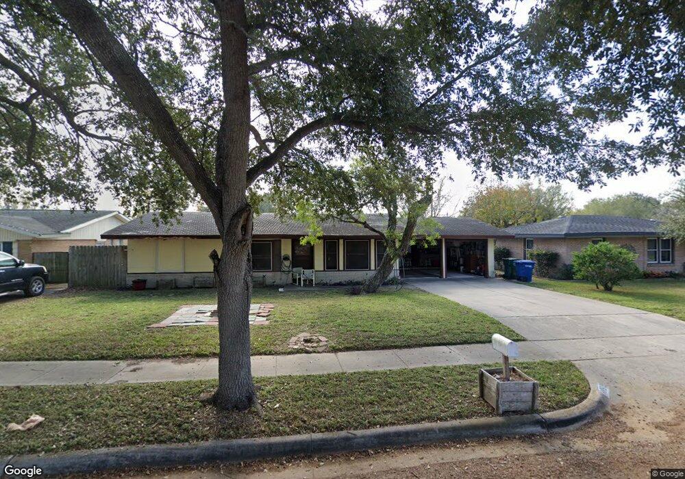
10619 Emmord Loop Corpus Christi, TX 78410
Northwest Corpus Christi NeighborhoodEstimated Value: $160,367 - $225,000
--
Bed
--
Bath
1,168
Sq Ft
$161/Sq Ft
Est. Value
About This Home
This home is located at 10619 Emmord Loop, Corpus Christi, TX 78410 and is currently estimated at $188,592, approximately $161 per square foot. 10619 Emmord Loop is a home located in Nueces County with nearby schools including Tuloso-Midway Primary School, Tuloso-Midway Intermediate School, and Tuloso-Midway Middle.
Ownership History
Date
Name
Owned For
Owner Type
Purchase Details
Closed on
May 13, 2008
Sold by
Hull Alisha M
Bought by
Hull Robert A
Current Estimated Value
Purchase Details
Closed on
Apr 28, 2008
Sold by
Hull Cassandra E and Hull Robert E
Bought by
Hull Robert A
Purchase Details
Closed on
Mar 6, 2008
Sold by
Hull Wiilliam J
Bought by
Hull Robert A
Purchase Details
Closed on
Feb 28, 2008
Sold by
Hull Michael D
Bought by
Hull Robert A
Purchase Details
Closed on
Jul 9, 2007
Sold by
Moseley Melanie L
Bought by
Hull Robert A
Create a Home Valuation Report for This Property
The Home Valuation Report is an in-depth analysis detailing your home's value as well as a comparison with similar homes in the area
Home Values in the Area
Average Home Value in this Area
Purchase History
| Date | Buyer | Sale Price | Title Company |
|---|---|---|---|
| Hull Robert A | -- | None Available | |
| Hull Robert A | -- | None Available | |
| Hull Robert A | -- | None Available | |
| Hull Robert A | -- | None Available | |
| Hull Robert A | -- | None Available | |
| Hull Robert A | -- | None Available |
Source: Public Records
Tax History Compared to Growth
Tax History
| Year | Tax Paid | Tax Assessment Tax Assessment Total Assessment is a certain percentage of the fair market value that is determined by local assessors to be the total taxable value of land and additions on the property. | Land | Improvement |
|---|---|---|---|---|
| 2025 | $466 | $152,009 | -- | -- |
| 2024 | $3,130 | $138,190 | $0 | $0 |
| 2023 | $446 | $125,627 | $0 | $0 |
| 2022 | $2,893 | $114,206 | $30,281 | $83,925 |
| 2021 | $3,016 | $114,529 | $30,281 | $84,248 |
| 2020 | $3,087 | $115,844 | $30,281 | $85,563 |
| 2019 | $3,083 | $109,658 | $30,281 | $79,377 |
| 2018 | $3,004 | $108,561 | $30,281 | $78,280 |
| 2017 | $3,350 | $119,818 | $30,281 | $89,537 |
| 2016 | $3,163 | $114,925 | $30,281 | $84,644 |
| 2015 | -- | $102,848 | $17,906 | $84,942 |
| 2014 | -- | $96,990 | $17,906 | $79,084 |
Source: Public Records
Map
Nearby Homes
- 10614 Emmord Loop
- 10639 Emmord Loop
- 10610 Hurst Dr
- 2838 Bridle Ln
- 10518 Heizer Dr
- 2838 Sage Brush Dr
- 10725 Westview Dr
- 2742 Blue Grass Dr
- 3101 Creek Side Dr
- 3014 Stone Creek Dr
- Upton Plan at Woodside
- Lakeway Plan at Woodside
- 10313 Stone Creek Dr
- 2721 Tumbleweed Dr
- 2729 Gold Rush Ln
- 10506 Hemlock Rd
- 4249 Starlite Ln
- 4241 Starlite Ln
- 3229 Creek Side Dr
- 10802 Timbergrove Ln
- 10623 Emmord Loop
- 10617 Emmord Loop
- 10613 Emmord Loop
- 10624 Emmord Loop
- 10620 Emmord Loop
- 2850 Bridle Ln
- 10630 Emmord Loop
- 10607 Emmord Loop
- 2854 Tuscarora Dr
- 10637 Emmord Loop
- 2846 Bridle Ln
- 10614 Outpost Dr
- 10605 Emmord Loop
- 10608 Emmord Loop
- 2853 Bridle Ln
- 10603 Emmord Loop
- 2842 Bridle Ln
- 10618 Outpost Dr
- 10632 Emmord Loop