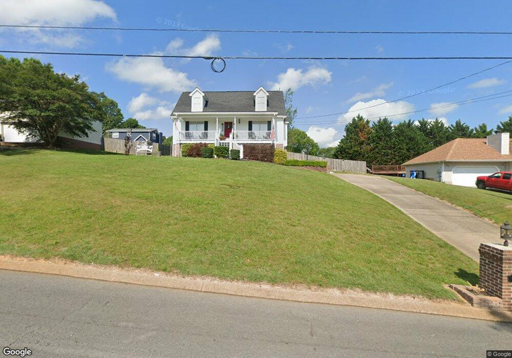
1062 Debbie Ln Ringgold, GA 30736
Blue Spring NeighborhoodEstimated Value: $316,000 - $349,000
3
Beds
3
Baths
1,064
Sq Ft
$311/Sq Ft
Est. Value
About This Home
This home is located at 1062 Debbie Ln, Ringgold, GA 30736 and is currently estimated at $331,239, approximately $311 per square foot. 1062 Debbie Ln is a home located in Catoosa County with nearby schools including Battlefield Primary School, Battlefield Elementary School, and Heritage Middle School.
Ownership History
Date
Name
Owned For
Owner Type
Purchase Details
Closed on
Apr 25, 2008
Sold by
Citimortgage Inc
Bought by
Bolton Betty J
Current Estimated Value
Home Financials for this Owner
Home Financials are based on the most recent Mortgage that was taken out on this home.
Original Mortgage
$113,913
Outstanding Balance
$71,914
Interest Rate
5.82%
Mortgage Type
New Conventional
Estimated Equity
$259,325
Purchase Details
Closed on
Feb 12, 2004
Bought by
Mann Franklin D
Create a Home Valuation Report for This Property
The Home Valuation Report is an in-depth analysis detailing your home's value as well as a comparison with similar homes in the area
Home Values in the Area
Average Home Value in this Area
Purchase History
| Date | Buyer | Sale Price | Title Company |
|---|---|---|---|
| Bolton Betty J | $115,800 | -- | |
| Mann Franklin D | $150,000 | -- |
Source: Public Records
Mortgage History
| Date | Status | Borrower | Loan Amount |
|---|---|---|---|
| Open | Bolton Betty J | $113,913 |
Source: Public Records
Tax History Compared to Growth
Tax History
| Year | Tax Paid | Tax Assessment Tax Assessment Total Assessment is a certain percentage of the fair market value that is determined by local assessors to be the total taxable value of land and additions on the property. | Land | Improvement |
|---|---|---|---|---|
| 2024 | $2,533 | $118,754 | $14,000 | $104,754 |
| 2023 | $2,042 | $91,193 | $14,000 | $77,193 |
| 2022 | $1,663 | $74,273 | $14,000 | $60,273 |
| 2021 | $1,554 | $74,273 | $14,000 | $60,273 |
| 2020 | $1,521 | $65,724 | $14,000 | $51,724 |
| 2019 | $1,497 | $64,019 | $14,000 | $50,019 |
| 2018 | $1,483 | $60,019 | $10,000 | $50,019 |
| 2017 | $1,446 | $58,528 | $10,000 | $48,528 |
| 2016 | $1,412 | $54,335 | $10,000 | $44,335 |
| 2015 | -- | $54,335 | $10,000 | $44,335 |
| 2014 | -- | $52,335 | $8,000 | $44,335 |
| 2013 | -- | $52,335 | $8,000 | $44,335 |
Source: Public Records
Map
Nearby Homes
- 154 Shady Brook Ln
- 160 Scenic Cir
- 267 Brownwood Cir
- 24 Ables Way
- 141 Debbie Ln Unit 32
- 141 Debbie Ln
- 132 Brownwood Cir
- 713 Lee Dr
- 621 Lee Dr
- 15 Easy St
- 5210 Boynton Dr
- 0 Horne Ln Unit 10410171
- 0 Horne Ln Unit 1502888
- 345 Joe Tike Dr
- 289 Magnolia Place
- 60 Walker St
- 34 Sharon Ln
- 1578 Post Oak Rd
- 290 Powder Horn Ln
- 114 Monroe Dr