1062 E High St Oakland, MD 21550
Estimated Value: $367,880
--
Bed
--
Bath
1,612
Sq Ft
$228/Sq Ft
Est. Value
About This Home
This home is located at 1062 E High St, Oakland, MD 21550 and is currently estimated at $367,880, approximately $228 per square foot. 1062 E High St is a home located in Garrett County with nearby schools including Yough Glades Elementary School, Swan Meadow School, and Southern Middle School.
Ownership History
Date
Name
Owned For
Owner Type
Purchase Details
Closed on
Jan 17, 2020
Sold by
Getty Albert W
Bought by
East High Street Llc
Current Estimated Value
Home Financials for this Owner
Home Financials are based on the most recent Mortgage that was taken out on this home.
Original Mortgage
$153,000
Outstanding Balance
$135,182
Interest Rate
3.6%
Mortgage Type
Future Advance Clause Open End Mortgage
Estimated Equity
$232,698
Purchase Details
Closed on
Apr 20, 2001
Sold by
Hanline James K and Hanline Janey L
Bought by
Getty Albert W
Create a Home Valuation Report for This Property
The Home Valuation Report is an in-depth analysis detailing your home's value as well as a comparison with similar homes in the area
Home Values in the Area
Average Home Value in this Area
Purchase History
| Date | Buyer | Sale Price | Title Company |
|---|---|---|---|
| East High Street Llc | $200,000 | None Available | |
| Getty Albert W | $119,000 | -- |
Source: Public Records
Mortgage History
| Date | Status | Borrower | Loan Amount |
|---|---|---|---|
| Open | East High Street Llc | $153,000 | |
| Closed | Getty Albert W | -- |
Source: Public Records
Tax History Compared to Growth
Tax History
| Year | Tax Paid | Tax Assessment Tax Assessment Total Assessment is a certain percentage of the fair market value that is determined by local assessors to be the total taxable value of land and additions on the property. | Land | Improvement |
|---|---|---|---|---|
| 2025 | $2,264 | $200,000 | $23,000 | $177,000 |
| 2024 | $2,219 | $189,967 | $0 | $0 |
| 2023 | $2,102 | $179,933 | $0 | $0 |
| 2022 | $1,984 | $169,900 | $23,000 | $146,900 |
| 2021 | $1,970 | $168,700 | $0 | $0 |
| 2020 | $1,956 | $167,500 | $0 | $0 |
| 2019 | $1,942 | $166,300 | $23,000 | $143,300 |
| 2018 | $1,828 | $165,900 | $0 | $0 |
| 2017 | $1,811 | $166,300 | $0 | $0 |
| 2016 | -- | $165,100 | $0 | $0 |
| 2015 | -- | $165,100 | $0 | $0 |
| 2014 | -- | $165,100 | $0 | $0 |
Source: Public Records
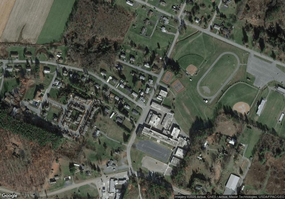
Map
Nearby Homes
- 1056 Sunrise Dr
- 127 S Oakhall Dr
- 723 Kings Ct
- 0 8th & Dennett Road St Unit MDGA2009886
- 609 Southern Pines Dr
- 611 E Oak St
- 315 Coolidge Ave
- 511 E Green St
- 503 E Alder St
- 204 E St
- 809 N St
- 104 G St
- 163 Mitchell Dr
- 0 Memorial Dr Unit MDGA2010668
- 0 N Hammond St
- 11 Sunset Dr
- 163 Crestview Dr
- 18 Hoye Crest Rd
- 102 Roanoke Ave
- 627 Hamill St
- 1056 E High St
- 156 S 11th St
- 1067 E High St
- 1050 E High St
- 1059 E High St
- 138 S 11th St
- 1053 E High St
- 1051 Sunrise Dr
- 1053 Sunrise Dr
- 1046 E High St
- 0 E Green Street Extension
- 1047 E High St
- 1057 E Green St
- 1062 Sunrise Dr
- 1043 E High St
- 1037 Sunrise Dr
- 1036 E High St
- 1051 E Green St
- 1043 E Green St
- 1035 E High St