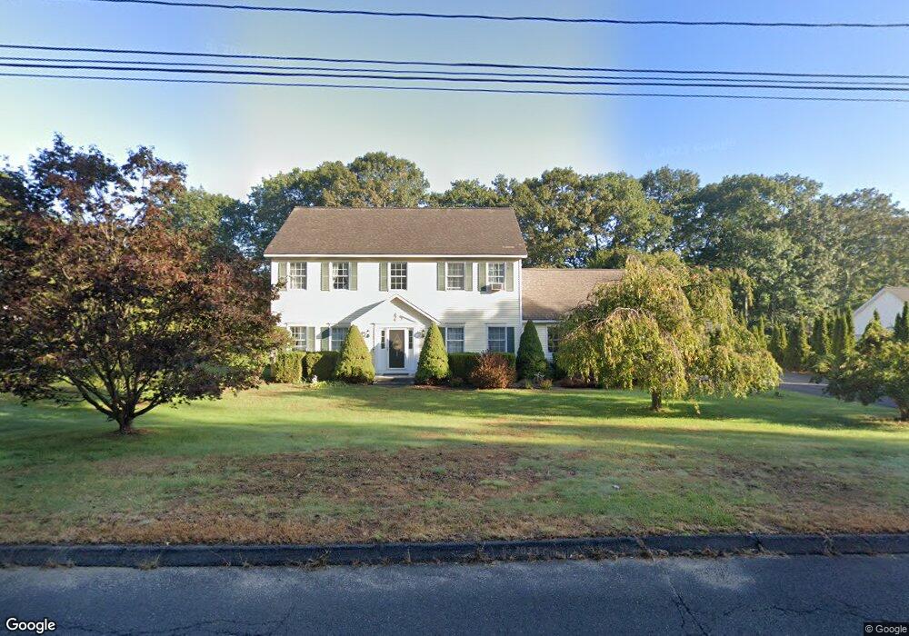
1062 May St Naugatuck, CT 06770
Estimated Value: $478,167 - $591,000
4
Beds
3
Baths
2,264
Sq Ft
$237/Sq Ft
Est. Value
About This Home
This home is located at 1062 May St, Naugatuck, CT 06770 and is currently estimated at $537,292, approximately $237 per square foot. 1062 May St is a home located in New Haven County with nearby schools including City Hill Middle School and Naugatuck High School.
Ownership History
Date
Name
Owned For
Owner Type
Purchase Details
Closed on
Jun 26, 2001
Sold by
Northeastern Dev
Bought by
Soubannarath S S and Soubannarath Somchanh
Current Estimated Value
Home Financials for this Owner
Home Financials are based on the most recent Mortgage that was taken out on this home.
Original Mortgage
$212,150
Interest Rate
7.09%
Mortgage Type
Purchase Money Mortgage
Create a Home Valuation Report for This Property
The Home Valuation Report is an in-depth analysis detailing your home's value as well as a comparison with similar homes in the area
Home Values in the Area
Average Home Value in this Area
Purchase History
| Date | Buyer | Sale Price | Title Company |
|---|---|---|---|
| Soubannarath S S | $233,167 | -- |
Source: Public Records
Mortgage History
| Date | Status | Borrower | Loan Amount |
|---|---|---|---|
| Open | Soubannarath S S | $212,000 | |
| Closed | Soubannarath S S | $237,450 | |
| Closed | Soubannarath S S | $50,000 | |
| Closed | Soubannarath S S | $212,150 |
Source: Public Records
Tax History
| Year | Tax Paid | Tax Assessment Tax Assessment Total Assessment is a certain percentage of the fair market value that is determined by local assessors to be the total taxable value of land and additions on the property. | Land | Improvement |
|---|---|---|---|---|
| 2025 | $10,024 | $251,930 | $38,150 | $213,780 |
| 2024 | $10,528 | $251,930 | $38,150 | $213,780 |
| 2023 | $11,274 | $251,930 | $38,150 | $213,780 |
| 2022 | $8,268 | $173,160 | $40,570 | $132,590 |
| 2021 | $8,268 | $173,160 | $40,570 | $132,590 |
| 2020 | $8,268 | $173,160 | $40,570 | $132,590 |
| 2019 | $8,182 | $173,160 | $40,570 | $132,590 |
| 2018 | $8,088 | $167,280 | $51,880 | $115,400 |
| 2017 | $8,121 | $167,280 | $51,880 | $115,400 |
| 2016 | $7,974 | $167,280 | $51,880 | $115,400 |
| 2015 | $7,623 | $167,280 | $51,880 | $115,400 |
| 2014 | $7,538 | $167,280 | $51,880 | $115,400 |
| 2012 | $7,946 | $236,830 | $64,850 | $171,980 |
Source: Public Records
Map
Nearby Homes
- 26 Geraldine Dr
- 125 Salem Rd
- 36 Longview Terrace
- 56 Morning Mist Rd
- 463 Mulberry St
- 18 Cadbury Place
- 73 Warm Earth Rd
- 57 Warm Earth Rd
- 43 Warm Earth Rd
- 31 Warm Earth Rd
- 25 Tyler Hill Rd
- 18 Olivia Ln
- 21 Longwood Dr
- 825 Maple Hill Rd
- 39 Fawn Meadow Dr
- 111 Wooster St Unit 1C
- 111 Wooster St Unit 4A
- 35 Monahan Ln
- 51 Brook St Unit 6A
- 51 Brook St Unit 3B
- 1066 May St
- 1058 May St
- 1070 May St
- 1067 May St
- 19 Pond Valley Dr
- 1052 May St
- 1071 May St
- 1074 May St
- 10 Pinewood Crossing S
- 360 Maple Hill Rd
- 1073 May St
- 380 Maple Hill Rd
- 350 Maple Hill Rd
- 5 Pinewood Crossing S
- 1078 May St
- 390 Maple Hill Rd
- 16 Geraldine Dr
- 1077 May St
- 11 Pond Valley Dr
- 318 Maple Hill Rd
Your Personal Tour Guide
Ask me questions while you tour the home.