1062 N Ingleside Farm Rd Iron Station, NC 28080
Estimated Value: $1,007,000
4
Beds
2
Baths
2,021
Sq Ft
$498/Sq Ft
Est. Value
About This Home
This home is located at 1062 N Ingleside Farm Rd, Iron Station, NC 28080 and is currently estimated at $1,007,000, approximately $498 per square foot. 1062 N Ingleside Farm Rd is a home located in Lincoln County with nearby schools including St. James Elementary School, East Lincoln Middle School, and East Lincoln High School.
Ownership History
Date
Name
Owned For
Owner Type
Purchase Details
Closed on
Feb 19, 2020
Sold by
Reel Rhyne E and Reel Frances H
Bought by
Reel Ronald E and Reel Rita G
Current Estimated Value
Purchase Details
Closed on
Jun 12, 2013
Sold by
Reel Brent E and Reel Janet M
Bought by
Reel Brent E and Reel Janet M
Purchase Details
Closed on
Apr 16, 2009
Sold by
Reel Rhyne E and Reel Frances H
Bought by
Reel Rhyne E and Reel Frances H
Purchase Details
Closed on
Aug 21, 2008
Sold by
Reel Rhyne and Reel Frances
Bought by
Stubbs Thomas M and Stubbs Linda F
Purchase Details
Closed on
Oct 12, 2006
Sold by
Reel Rhyne and Reel Frances
Bought by
Reel Brent E and Reel Janet M
Purchase Details
Closed on
Mar 7, 2005
Sold by
Fisher Richard and Fisher Nancy
Bought by
Fisher Phillip T and Fisher Elizabeth
Create a Home Valuation Report for This Property
The Home Valuation Report is an in-depth analysis detailing your home's value as well as a comparison with similar homes in the area
Home Values in the Area
Average Home Value in this Area
Purchase History
| Date | Buyer | Sale Price | Title Company |
|---|---|---|---|
| Reel Ronald E | -- | None Available | |
| Devine Ned D | -- | None Available | |
| Reel Mark A | -- | None Available | |
| Reel Brent E | -- | None Available | |
| Reel Brent E | -- | None Available | |
| Reel Rhyne E | -- | None Available | |
| Stubbs Thomas M | $14,000 | None Available | |
| Reel Brent E | -- | None Available | |
| Fisher Phillip T | -- | None Available |
Source: Public Records
Tax History Compared to Growth
Tax History
| Year | Tax Paid | Tax Assessment Tax Assessment Total Assessment is a certain percentage of the fair market value that is determined by local assessors to be the total taxable value of land and additions on the property. | Land | Improvement |
|---|---|---|---|---|
| 2025 | $962 | $936,093 | $838,043 | $98,050 |
| 2024 | $959 | $936,093 | $838,043 | $98,050 |
| 2023 | $959 | $936,093 | $838,043 | $98,050 |
| 2022 | $912 | $523,678 | $441,977 | $81,701 |
| 2021 | $903 | $523,678 | $441,977 | $81,701 |
| 2020 | $2,368 | $81,701 | $0 | $81,701 |
| 2019 | $1,671 | $172,904 | $0 | $172,904 |
| 2018 | $1,409 | $844,538 | $739,161 | $105,377 |
| 2017 | $1,207 | $843,487 | $738,110 | $105,377 |
| 2016 | $1,203 | $843,487 | $738,110 | $105,377 |
| 2015 | $1,351 | $749,482 | $738,110 | $11,372 |
| 2014 | $3,048 | $851,052 | $736,920 | $114,132 |
Source: Public Records
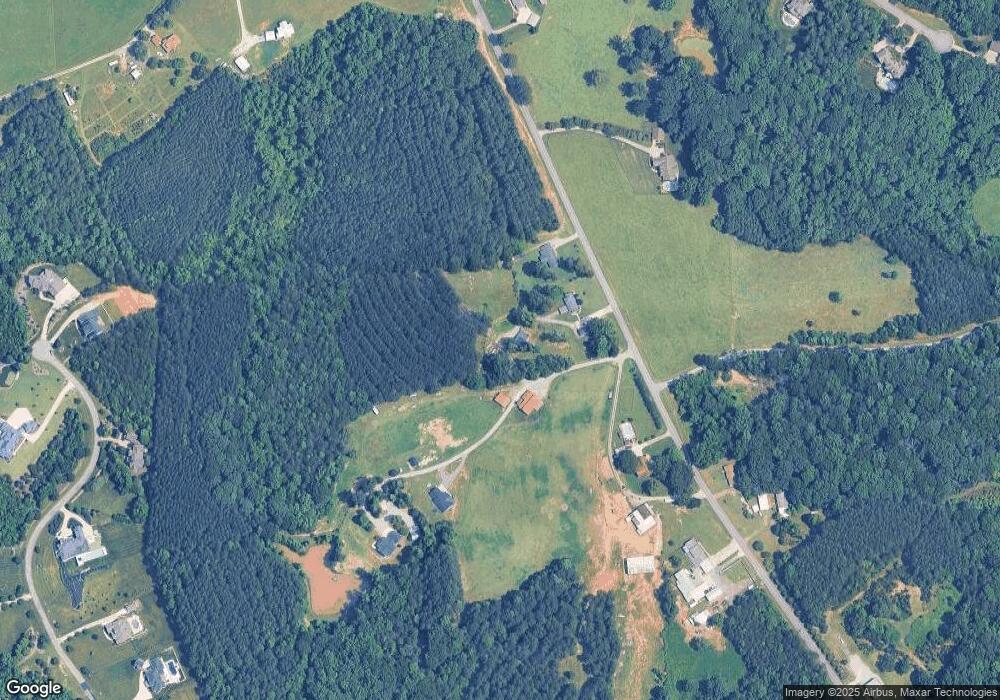
Map
Nearby Homes
- 524 N Ingleside Farm Rd
- 1207 Misty Creek Dr
- 7226 Windy Ridge Dr
- 7246 Windy Ridge Dr
- Lot 6 Jerry Ross Ln
- 788 Pinnacle Dr
- 767 Pinnacle Dr
- 1567 Withers Dr
- Lot 17 Ridgeview Ln
- 7245 Willow Brook Ct
- 1775 Mount Carmel Cir
- 1763 Mount Carmel Cir
- 2273 Pine Valley Dr
- 1791 Withers Dr
- 534 N Ingleside Farm Rd
- 1487 Winged Foot Dr
- 1365 Winged Foot Dr
- 1376 Winged Foot Dr
- 1515 Baltusrol Dr
- 7362 Hemlock Ct
- 1040 N Ingleside Farm Rd
- 910 N Ingleside Farm Rd
- 1095 Misty Creek Dr
- 1061 Misty Creek Dr
- 1107 Misty Creek Dr
- 1051 Misty Creek Dr
- 974 N Ingleside Farm Rd
- 1175 Misty Creek Dr
- Lot 48 Misty Creek Dr Unit 48
- 1110 Misty Creek Dr
- 1054 Misty Creek Dr
- 32 Misty Creek Dr
- 32 Misty Creek Dr Unit 32
- Lot 30 Misty Creek Dr
- Lot 48 Misty Creek Dr Unit 48
- 1132 N Ingleside Farm Rd
- 33 Misty Creek Dr Unit 33
- 1044 Misty Creek Dr
- 983 N Ingleside Farm Rd
- 1191 Misty Creek Dr