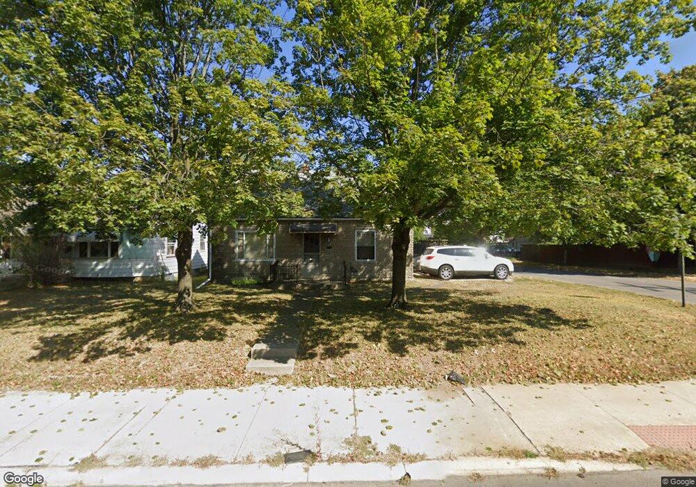
1062 Oakland Park Ave Columbus, OH 43224
North Linden NeighborhoodEstimated Value: $189,968 - $221,000
3
Beds
1
Bath
1,224
Sq Ft
$168/Sq Ft
Est. Value
About This Home
This home is located at 1062 Oakland Park Ave, Columbus, OH 43224 and is currently estimated at $205,992, approximately $168 per square foot. 1062 Oakland Park Ave is a home located in Franklin County with nearby schools including Huy Elementary School, Medina Middle School, and Mifflin High School.
Ownership History
Date
Name
Owned For
Owner Type
Purchase Details
Closed on
Jul 17, 2019
Sold by
Davis Forest M
Bought by
Davis Forest M and Brice Rose M
Current Estimated Value
Purchase Details
Closed on
May 14, 1998
Sold by
Davis Patty A
Bought by
Davis Forest M and Davis Patty Ann
Purchase Details
Closed on
May 13, 1991
Create a Home Valuation Report for This Property
The Home Valuation Report is an in-depth analysis detailing your home's value as well as a comparison with similar homes in the area
Home Values in the Area
Average Home Value in this Area
Purchase History
| Date | Buyer | Sale Price | Title Company |
|---|---|---|---|
| Davis Forest M | -- | None Available | |
| Davis Forest M | -- | Chelsea Title | |
| -- | -- | -- |
Source: Public Records
Tax History Compared to Growth
Tax History
| Year | Tax Paid | Tax Assessment Tax Assessment Total Assessment is a certain percentage of the fair market value that is determined by local assessors to be the total taxable value of land and additions on the property. | Land | Improvement |
|---|---|---|---|---|
| 2024 | $2,085 | $56,250 | $12,110 | $44,140 |
| 2023 | $2,086 | $56,245 | $12,110 | $44,135 |
| 2022 | $1,476 | $37,210 | $5,880 | $31,330 |
| 2021 | $1,534 | $37,210 | $5,880 | $31,330 |
| 2020 | $1,481 | $37,210 | $5,880 | $31,330 |
| 2019 | $1,278 | $29,820 | $4,690 | $25,130 |
| 2018 | $1,644 | $29,820 | $4,690 | $25,130 |
| 2017 | $1,720 | $29,820 | $4,690 | $25,130 |
| 2016 | $1,633 | $24,650 | $3,960 | $20,690 |
| 2015 | $1,482 | $24,650 | $3,960 | $20,690 |
| 2014 | $1,486 | $24,650 | $3,960 | $20,690 |
| 2013 | $771 | $25,935 | $4,165 | $21,770 |
Source: Public Records
Map
Nearby Homes
- 1120 Piedmont Rd
- 1126 Piedmont Rd
- 3105 Atwood Terrace
- 3087 Hiawatha St
- 3129 McGuffey Rd
- 3268 McGuffey Rd
- 3480 Maize Rd
- 1258 Urana Ave
- 1270 Urana Ave
- 826 E Brighton Rd
- 1279 Carolyn Ave
- 1090 Pauline Ave
- 2996 Atwood Terrace
- 3071 Karl Rd
- 788 E Brighton Rd
- 3352 Karl Rd
- 3107 Hamilton Ave
- 1283 Pauline Ave
- 876 Lenore Ave
- 2950 Grasmere Ave
- 1056 Oakland Park Ave
- 1050 Oakland Park Ave
- 1074 Oakland Park Ave
- 1044 Oakland Park Ave
- 1059 E Dunedin Rd
- 1080 Oakland Park Ave
- 1073 E Dunedin Rd
- 1059 Oakland Park Ave
- 1038 Oakland Park Ave
- 1081 E Dunedin Rd
- 1053 E Dunedin Rd
- 1088 Oakland Park Ave
- 1045 Oakland Park Ave
- 1073 Oakland Park Ave
- 1089 E Dunedin Rd
- 1047 E Dunedin Rd
- 1039 Oakland Park Ave
- 1032 Oakland Park Ave
- 1079 Oakland Park Ave
- 1094 Oakland Park Ave