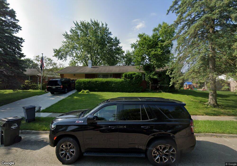
1062 Romanus Dr Vandalia, OH 45377
Estimated Value: $216,559 - $242,000
3
Beds
2
Baths
1,172
Sq Ft
$191/Sq Ft
Est. Value
About This Home
This home is located at 1062 Romanus Dr, Vandalia, OH 45377 and is currently estimated at $224,140, approximately $191 per square foot. 1062 Romanus Dr is a home located in Montgomery County with nearby schools including Helke Elementary School, Morton Middle School, and Butler High School.
Ownership History
Date
Name
Owned For
Owner Type
Purchase Details
Closed on
Aug 6, 1998
Sold by
Humphrey Frederick V and Paff Karen S
Bought by
Humphrey Frederick and Humphrey Karen S
Current Estimated Value
Home Financials for this Owner
Home Financials are based on the most recent Mortgage that was taken out on this home.
Original Mortgage
$81,500
Interest Rate
7.07%
Mortgage Type
Balloon
Create a Home Valuation Report for This Property
The Home Valuation Report is an in-depth analysis detailing your home's value as well as a comparison with similar homes in the area
Home Values in the Area
Average Home Value in this Area
Purchase History
| Date | Buyer | Sale Price | Title Company |
|---|---|---|---|
| Humphrey Frederick | -- | -- |
Source: Public Records
Mortgage History
| Date | Status | Borrower | Loan Amount |
|---|---|---|---|
| Closed | Humphrey Frederick | $81,500 |
Source: Public Records
Tax History Compared to Growth
Tax History
| Year | Tax Paid | Tax Assessment Tax Assessment Total Assessment is a certain percentage of the fair market value that is determined by local assessors to be the total taxable value of land and additions on the property. | Land | Improvement |
|---|---|---|---|---|
| 2024 | $3,079 | $58,940 | $11,840 | $47,100 |
| 2023 | $3,079 | $58,940 | $11,840 | $47,100 |
| 2022 | $2,760 | $42,710 | $8,580 | $34,130 |
| 2021 | $2,763 | $42,710 | $8,580 | $34,130 |
| 2020 | $2,756 | $42,710 | $8,580 | $34,130 |
| 2019 | $2,438 | $34,610 | $7,460 | $27,150 |
| 2018 | $2,442 | $34,610 | $7,460 | $27,150 |
| 2017 | $2,424 | $34,610 | $7,460 | $27,150 |
| 2016 | $2,432 | $34,130 | $7,460 | $26,670 |
| 2015 | $2,402 | $34,130 | $7,460 | $26,670 |
| 2014 | $2,402 | $34,130 | $7,460 | $26,670 |
| 2012 | -- | $37,190 | $8,270 | $28,920 |
Source: Public Records
Map
Nearby Homes
- 1072 Pool Ave
- 417 Randler Ave
- 926 Pool Ave
- 910 Bright Ave
- 808 Stewville Dr
- 1051 Bailey Ave
- 485 Pilot Point Unit 1-301
- 475 Pilot Point 1-300
- 465 Pilot Point 1-302
- 485 Pilot Point 1-301
- 860 Helke Rd
- 475 Pilot Point Unit 1-300
- 626 W National Rd
- 465 Pilot Point Unit 1-302
- 520 Buttercup Ave
- 1588 Middle Park Dr
- 25 Long St
- 246 Crest Hill Ave
- 3431 Mulberry Rd
- 917 Howard Ln
- 1056 Romanus Dr
- 1072 Romanus Dr
- 610 Damian St
- 1065 Marcellus Dr
- 620 Damian St
- 1057 Marcellus Dr
- 1050 Romanus Dr
- 1061 Romanus Dr
- 1071 Romanus Dr
- 1073 Marcellus Dr
- 1049 Marcellus Dr
- 1051 Romanus Dr
- 1044 Romanus Dr
- 1043 Marcellus Dr
- 526 Damian St
- 603 Damian St
- 609 Damian St
- 541 Damian St
- 509 Soter Place
- 1060 Marcellus Dr