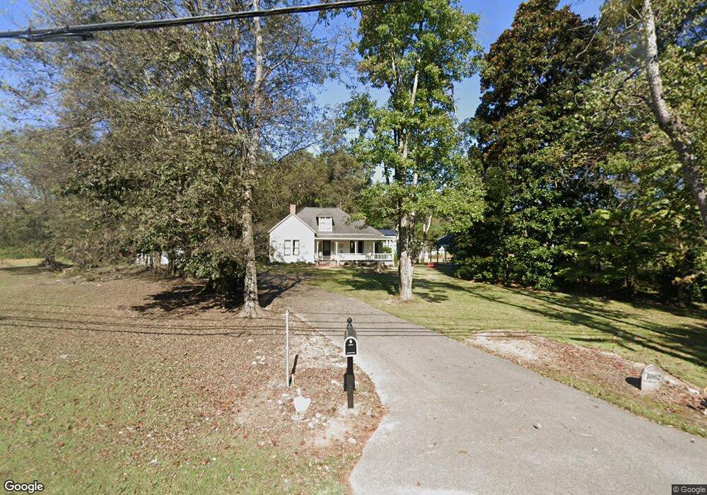
1062 S Highway 341 Chickamauga, GA 30707
Estimated Value: $421,309 - $453,000
3
Beds
2
Baths
2,085
Sq Ft
$212/Sq Ft
Est. Value
About This Home
This home is located at 1062 S Highway 341, Chickamauga, GA 30707 and is currently estimated at $441,577, approximately $211 per square foot. 1062 S Highway 341 is a home located in Walker County with nearby schools including Chickamauga Elementary School, Gordon Lee Middle School, and Gordon Lee High School.
Ownership History
Date
Name
Owned For
Owner Type
Purchase Details
Closed on
Jul 1, 2022
Sold by
Harkleroad Tammy Lynn
Bought by
Doyle Dave Philip and Doyle Sheryl Lynn
Current Estimated Value
Home Financials for this Owner
Home Financials are based on the most recent Mortgage that was taken out on this home.
Original Mortgage
$370,500
Outstanding Balance
$352,489
Interest Rate
5.09%
Mortgage Type
New Conventional
Estimated Equity
$89,088
Purchase Details
Closed on
Nov 13, 2017
Sold by
Hentz Jonathan William
Bought by
Harkleroad Tammy Lynn
Purchase Details
Closed on
Jan 16, 2015
Sold by
Powell Ben Madison
Bought by
Hentz Jonathan William and Herkleroad Tammy Lynn
Create a Home Valuation Report for This Property
The Home Valuation Report is an in-depth analysis detailing your home's value as well as a comparison with similar homes in the area
Home Values in the Area
Average Home Value in this Area
Purchase History
| Date | Buyer | Sale Price | Title Company |
|---|---|---|---|
| Doyle Dave Philip | $390,000 | -- | |
| Harkleroad Tammy Lynn | -- | -- | |
| Hentz Jonathan William | $100,000 | -- |
Source: Public Records
Mortgage History
| Date | Status | Borrower | Loan Amount |
|---|---|---|---|
| Open | Doyle Dave Philip | $370,500 |
Source: Public Records
Tax History Compared to Growth
Tax History
| Year | Tax Paid | Tax Assessment Tax Assessment Total Assessment is a certain percentage of the fair market value that is determined by local assessors to be the total taxable value of land and additions on the property. | Land | Improvement |
|---|---|---|---|---|
| 2024 | $3,273 | $141,765 | $24,927 | $116,838 |
| 2023 | $3,027 | $126,367 | $24,927 | $101,440 |
| 2022 | $1,065 | $89,234 | $24,927 | $64,307 |
| 2021 | $1,084 | $75,928 | $24,927 | $51,001 |
| 2020 | $1,051 | $66,091 | $24,927 | $41,164 |
| 2019 | $1,051 | $66,091 | $24,927 | $41,164 |
| 2018 | $868 | $66,091 | $24,927 | $41,164 |
Source: Public Records
Map
Nearby Homes
- 77 Garretts Chapel Rd
- 106 McClatchy Aly
- 1527 Glass Mill Rd
- 232 E Tennant Cir
- 43 Hidden Hills Dr
- 15 Fescue Dr
- 508 E 14th St
- 201 E Tennant Cir
- 1501 Lee St
- 146 Fescue Dr
- 309 E 16th St
- 111 Clebourne Ave
- 301 Clebourne Ave
- 74 Cove Rd
- 80 Cove Rd
- 305 Gordon St
- 997 W West 12th St
- 997 W 12th St
- 17 W Fork Ln
- 205 Wheeler Ave
- 1062 Highway S 341
- 61 Sherry Ct
- 1065 S Highway 341
- 1065 Georgia 341
- 1108 Georgia 341
- 1108 S Highway 341
- 65 Sherry Ct
- 955 S Highway 341
- 73 Sherry Ct
- 134 Garretts Chapel Rd
- 87 Sherry Ct
- 16 Sherry Ct
- 145 Sherry Ct
- 100 Sherry Ct
- 109 Sherry Ct
- 122 Sherry Ct
- 1172 S Highway 341
- 121 Sherry Ct
- 911 S Highway 341
- 140 Sherry Ct