Estimated Value: $104,000 - $170,000
2
Beds
1
Bath
768
Sq Ft
$176/Sq Ft
Est. Value
About This Home
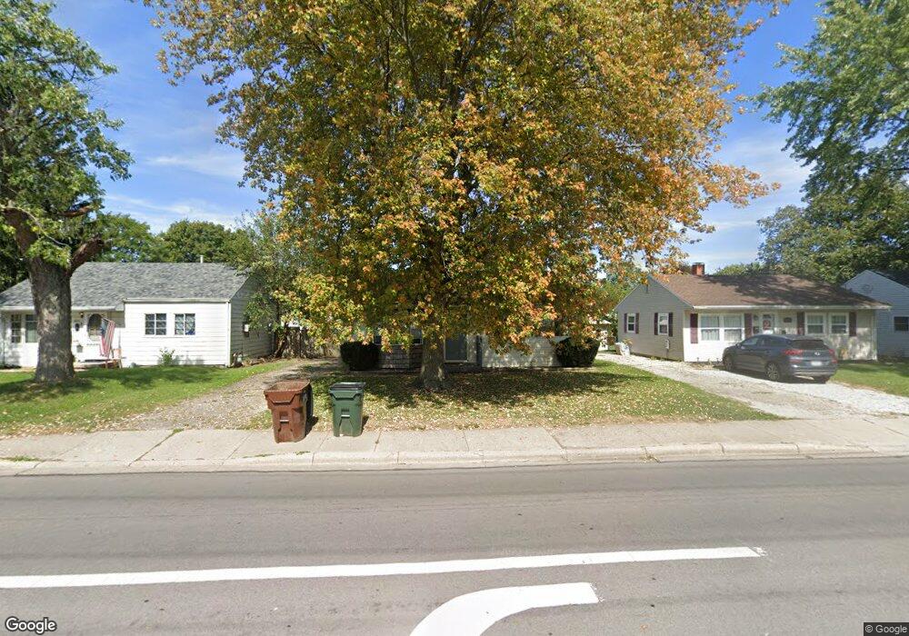
This home is located at 1062 W 2nd St, Xenia, OH 45385 and is currently estimated at $134,885, approximately $175 per square foot. 1062 W 2nd St is a home located in Greene County with nearby schools including Xenia High School, Summit Academy Community School for Alternative Learners - Xenia, and Legacy Christian Academy.
Ownership History
Date
Name
Owned For
Owner Type
Purchase Details
Closed on
Aug 9, 2021
Sold by
Miller Kasey L and Morse Aimee R
Bought by
Jacobs Sherry J
Current Estimated Value
Home Financials for this Owner
Home Financials are based on the most recent Mortgage that was taken out on this home.
Original Mortgage
$78,570
Outstanding Balance
$71,246
Interest Rate
3%
Mortgage Type
New Conventional
Estimated Equity
$63,639
Purchase Details
Closed on
Jan 6, 2006
Sold by
Mcpherson Anthony L and Mcpherson Christina J
Bought by
Miller Kasey L and Morse Aimee R
Home Financials for this Owner
Home Financials are based on the most recent Mortgage that was taken out on this home.
Original Mortgage
$51,900
Interest Rate
9.62%
Mortgage Type
New Conventional
Create a Home Valuation Report for This Property
The Home Valuation Report is an in-depth analysis detailing your home's value as well as a comparison with similar homes in the area
Home Values in the Area
Average Home Value in this Area
Purchase History
| Date | Buyer | Sale Price | Title Company |
|---|---|---|---|
| Jacobs Sherry J | $81,000 | First Ohio Title Insurance | |
| Jacobs Sherry J | $81,000 | None Listed On Document | |
| Miller Kasey L | $66,900 | None Available |
Source: Public Records
Mortgage History
| Date | Status | Borrower | Loan Amount |
|---|---|---|---|
| Open | Jacobs Sherry J | $78,570 | |
| Closed | Jacobs Sherry J | $78,570 | |
| Previous Owner | Miller Kasey L | $51,900 |
Source: Public Records
Tax History Compared to Growth
Tax History
| Year | Tax Paid | Tax Assessment Tax Assessment Total Assessment is a certain percentage of the fair market value that is determined by local assessors to be the total taxable value of land and additions on the property. | Land | Improvement |
|---|---|---|---|---|
| 2024 | $1,524 | $36,550 | $8,270 | $28,280 |
| 2023 | $1,524 | $36,550 | $8,270 | $28,280 |
| 2022 | $1,257 | $25,700 | $5,910 | $19,790 |
| 2021 | $1,174 | $23,680 | $5,910 | $17,770 |
| 2020 | $1,123 | $23,680 | $5,910 | $17,770 |
| 2019 | $1,085 | $21,510 | $3,930 | $17,580 |
| 2018 | $1,089 | $21,510 | $3,930 | $17,580 |
| 2017 | $1,047 | $21,510 | $3,930 | $17,580 |
| 2016 | $1,047 | $20,320 | $3,930 | $16,390 |
| 2015 | $1,050 | $20,320 | $3,930 | $16,390 |
| 2014 | $1,004 | $20,320 | $3,930 | $16,390 |
Source: Public Records
Map
Nearby Homes
- 1223 June Dr
- 1233 June Dr
- 1342 Kylemore Dr
- 1283 June Dr
- 305-325 Bellbrook Ave
- 1391 June Dr
- 1144 Rockwell Dr
- 453 Walnut St
- 343 Sheelin Rd
- 1208 Bellbrook Ave
- 883 Omard Dr
- 509 Antrim Rd
- 912 Omard Dr
- 1351 Omard Dr
- 1272 Bellbrook Ave
- 293 S Miami Ave
- 1568 Cheyenne Dr
- 0 W Church St
- 1618 Navajo Dr
- 98 W 3rd St