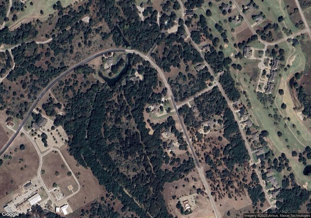
1062 White Bluff Dr Whitney, TX 76692
Estimated Value: $724,000 - $831,000
3
Beds
4
Baths
3,620
Sq Ft
$211/Sq Ft
Est. Value
About This Home
This home is located at 1062 White Bluff Dr, Whitney, TX 76692 and is currently estimated at $764,584, approximately $211 per square foot. 1062 White Bluff Dr is a home located in Hill County with nearby schools including Whitney Elementary School, Whitney Intermediate School, and Whitney Middle School.
Ownership History
Date
Name
Owned For
Owner Type
Purchase Details
Closed on
Jan 2, 2025
Sold by
Rado Real Estate Llc
Bought by
Elrod Braden and Shoaf Mckenzie
Current Estimated Value
Purchase Details
Closed on
Feb 26, 2024
Sold by
Radosevich April Amanda
Bought by
Radosevich Michael Dwayne
Home Financials for this Owner
Home Financials are based on the most recent Mortgage that was taken out on this home.
Original Mortgage
$242,006
Interest Rate
6.64%
Mortgage Type
Seller Take Back
Purchase Details
Closed on
Apr 27, 2021
Sold by
Bales Edna Marlene
Bought by
Radosevich Michael D and Radosevich April A
Create a Home Valuation Report for This Property
The Home Valuation Report is an in-depth analysis detailing your home's value as well as a comparison with similar homes in the area
Home Values in the Area
Average Home Value in this Area
Purchase History
| Date | Buyer | Sale Price | Title Company |
|---|---|---|---|
| Elrod Braden | $36,800 | Micro Title | |
| Elrod Braden | $36,800 | Micro Title | |
| Radosevich Michael Dwayne | -- | None Listed On Document | |
| Radosevich Michael D | -- | Micro Title Hill County Llc |
Source: Public Records
Mortgage History
| Date | Status | Borrower | Loan Amount |
|---|---|---|---|
| Previous Owner | Radosevich Michael Dwayne | $242,006 |
Source: Public Records
Tax History Compared to Growth
Tax History
| Year | Tax Paid | Tax Assessment Tax Assessment Total Assessment is a certain percentage of the fair market value that is determined by local assessors to be the total taxable value of land and additions on the property. | Land | Improvement |
|---|---|---|---|---|
| 2025 | $10,808 | $704,790 | $90,900 | $613,890 |
| 2024 | $10,794 | $703,920 | $90,900 | $613,020 |
| 2023 | $10,247 | $658,120 | $67,510 | $590,610 |
| 2022 | $10,169 | $543,640 | $12,370 | $531,270 |
| 2021 | $9,872 | $464,550 | $12,370 | $452,180 |
| 2020 | $10,371 | $467,200 | $12,370 | $454,830 |
| 2019 | $10,224 | $439,730 | $12,370 | $427,360 |
| 2018 | $10,647 | $458,640 | $12,370 | $446,270 |
| 2017 | $11,001 | $469,530 | $12,370 | $457,160 |
| 2016 | $9,983 | $426,100 | $12,370 | $413,730 |
| 2015 | -- | $414,160 | $14,360 | $399,800 |
| 2014 | -- | $400,390 | $15,950 | $384,440 |
Source: Public Records
Map
Nearby Homes
- 27007 Stonewood Dr
- 24002 Stonewood Dr
- 27010 Stonewood Dr
- 24043 Stonewood Dr
- 34045 Stonewood Dr
- 34010 Stonewood Dr
- 34016 Stonewood Dr
- 27062 Stonewood Dr
- 34020 Stonewood Dr
- 27074 Stonewood Dr
- 27070 Stonewood Dr
- 27081 Meadowmore Dr
- 39279 Cedar Park Dr
- 39278 Cedar Park Dr
- 27095 Meadowmore Ct Unit 402
- 39181 Misty Valley Cir
- 27098 Meadowmore Ct
- 27101 Meadowmore Ct
- 27102 Meadowmore Ct Unit 104
- 27208 Meadowmore Dr
- 1061 White Bluff Dr
- 1064 White Bluff Dr
- 1622 White Bluff Dr
- 34086 Stonewood Ct
- 34087 Stonewood Ct
- 1060 White Bluff Dr
- 1621 Oak Springs Dr
- 1620 Oak Springs Dr
- 1614 White Bluff Dr
- 1623 White Bluff Dr
- 1613 White Bluff Dr
- 27035 Stonewood Dr
- 27038 Stonewood Dr
- 1065 White Bluff Dr
- 1624 White Bluff Dr
- 27032 Stonewood Dr
- 1612 White Bluff Dr
- 0 Stone Wood Unit Lot 152 White Bluff
- 24124 Stonewood Dr
- 27037 Stonewood Dr
