10620 Branham Fields Rd Unit 1 Duluth, GA 30097
Estimated Value: $676,050 - $716,000
4
Beds
4
Baths
3,012
Sq Ft
$232/Sq Ft
Est. Value
About This Home
This home is located at 10620 Branham Fields Rd Unit 1, Duluth, GA 30097 and is currently estimated at $698,263, approximately $231 per square foot. 10620 Branham Fields Rd Unit 1 is a home located in Fulton County with nearby schools including Medlock Bridge Elementary School, River Trail Middle School, and Northview High School.
Ownership History
Date
Name
Owned For
Owner Type
Purchase Details
Closed on
Oct 9, 2001
Sold by
Mulji Nimmish
Bought by
Mulji Nimmish and Mulji Mayuri
Current Estimated Value
Purchase Details
Closed on
May 29, 1996
Sold by
Miller Charles M Jeanne M
Bought by
Mulji Nimmish
Create a Home Valuation Report for This Property
The Home Valuation Report is an in-depth analysis detailing your home's value as well as a comparison with similar homes in the area
Purchase History
| Date | Buyer | Sale Price | Title Company |
|---|---|---|---|
| Mulji Nimmish | -- | -- | |
| Mulji Nimmish | $210,000 | -- |
Source: Public Records
Mortgage History
| Date | Status | Borrower | Loan Amount |
|---|---|---|---|
| Closed | Mulji Nimmish | $0 |
Source: Public Records
Tax History Compared to Growth
Tax History
| Year | Tax Paid | Tax Assessment Tax Assessment Total Assessment is a certain percentage of the fair market value that is determined by local assessors to be the total taxable value of land and additions on the property. | Land | Improvement |
|---|---|---|---|---|
| 2025 | $4,192 | $225,280 | $50,960 | $174,320 |
| 2023 | $6,359 | $225,280 | $50,960 | $174,320 |
| 2022 | $4,017 | $184,920 | $42,240 | $142,680 |
| 2021 | $4,000 | $199,320 | $33,400 | $165,920 |
| 2020 | $4,009 | $166,600 | $33,520 | $133,080 |
| 2019 | $487 | $163,680 | $32,920 | $130,760 |
| 2018 | $4,495 | $159,840 | $32,160 | $127,680 |
| 2017 | $3,947 | $128,800 | $27,200 | $101,600 |
| 2016 | $3,866 | $128,800 | $27,200 | $101,600 |
| 2015 | $3,907 | $128,800 | $27,200 | $101,600 |
| 2014 | $4,056 | $130,600 | $27,200 | $103,400 |
Source: Public Records
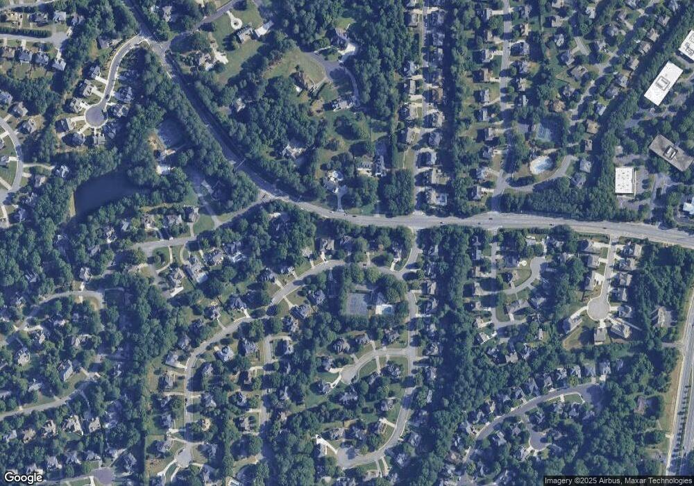
Map
Nearby Homes
- 10595 Highgate Manor Ct
- 10567 Bent Tree View
- 6053 Galewind Ct
- 6126 Narcissa Place
- 540 Abbotts Mill Dr
- 10823 Yorkwood St
- 10840 Yorkwood St
- 10844 Yorkwood St
- 850 Abbotts Mill Ct Unit 79
- 11007 Lorin Way
- 11052 Lorin Way
- 1135 Ascott Valley Dr
- 5425 Taylor Rd Unit 2
- 5440 Taylor Rd
- 6248 Clapham Ln
- 6325 Barwick Ln
- 6273 Clapham Ln
- 465 Mikasa Dr
- 4950 Red Robin Ridge
- 203 Thorpe Park
- 10610 Branham Fields Rd
- 10630 Branham Fields Rd
- 10600 Branham Fields Rd
- 10595 Branham Fields Rd
- 10835 Parsons Rd
- 10585 Branham Fields Rd
- 10590 Branham Fields Rd
- 10655 Stonefield Landing
- 10685 Parsons Rd Unit 1
- 10685 Parsons Rd Unit 1
- 10685 Parsons Rd
- 10685 Parsons Rd
- 10575 Branham Fields Rd
- 10580 Branham Fields Rd
- 10465 Highgate Manor Ct
- 10455 Highgate Manor Ct
- 10485 High Manor
- 10485 High Manor Ct
- 215 Halverson Way
- 10660 Branham Fields Rd
