106202 State Highway 64b Muldrow, OK 74948
Estimated Value: $241,000 - $626,000
3
Beds
3
Baths
2,457
Sq Ft
$160/Sq Ft
Est. Value
About This Home
This home is located at 106202 State Highway 64b, Muldrow, OK 74948 and is currently estimated at $393,164, approximately $160 per square foot. 106202 State Highway 64b is a home with nearby schools including Muldrow Elementary School, Muldrow Middle School, and Muldrow High School.
Ownership History
Date
Name
Owned For
Owner Type
Purchase Details
Closed on
Jun 30, 2025
Sold by
Peters Pike Lee
Bought by
Harold Phillip Peters And Ava Dean Peters Rev
Current Estimated Value
Purchase Details
Closed on
Nov 1, 2010
Sold by
Peters Harold Phillip and Peters Ava Deau
Bought by
Cox Diana Lurae and Cox Anthony
Create a Home Valuation Report for This Property
The Home Valuation Report is an in-depth analysis detailing your home's value as well as a comparison with similar homes in the area
Home Values in the Area
Average Home Value in this Area
Purchase History
| Date | Buyer | Sale Price | Title Company |
|---|---|---|---|
| Harold Phillip Peters And Ava Dean Peters Rev | -- | None Listed On Document | |
| Harold Phillip Peters And Ava Dean Peters Rev | -- | None Listed On Document | |
| Cox Diana Lurae | -- | None Available |
Source: Public Records
Tax History Compared to Growth
Tax History
| Year | Tax Paid | Tax Assessment Tax Assessment Total Assessment is a certain percentage of the fair market value that is determined by local assessors to be the total taxable value of land and additions on the property. | Land | Improvement |
|---|---|---|---|---|
| 2024 | $1,650 | $22,117 | $1,628 | $20,489 |
| 2023 | $1,572 | $21,064 | $1,628 | $19,436 |
| 2022 | $1,426 | $20,061 | $1,760 | $18,301 |
| 2021 | $1,398 | $19,668 | $1,628 | $18,040 |
| 2020 | $1,398 | $19,668 | $1,628 | $18,040 |
| 2019 | $1,412 | $19,872 | $1,628 | $18,244 |
| 2018 | $1,426 | $20,064 | $1,628 | $18,436 |
| 2017 | $1,439 | $20,251 | $1,628 | $18,623 |
| 2016 | $1,453 | $20,449 | $1,628 | $18,821 |
| 2015 | $1,467 | $20,642 | $1,628 | $19,014 |
| 2014 | $1,422 | $20,010 | $1,578 | $18,432 |
Source: Public Records
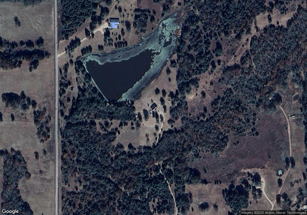
Map
Nearby Homes
- 105629 S 4730 Rd
- TBD S 4727 Rd
- 106214 S 4720 Rd
- 106078 S 4715 Rd
- 103941 S 4730 Rd
- 471804 E 1070 Rd
- 103891 Oklahoma 64b
- 107774 S 4720
- 106438 S 4757 Rd
- 106219 S 4757 Rd
- 475745 E 1083 Rd
- 108412 S 4720 Rd
- 104660 S 4760 Rd
- 471703 E 1083 Rd
- 605 S 9th St
- TBD Tbd
- 104 Free Ferry
- 105750 S 4700 Rd
- Lot 43 E 1028 Rd
- TBD E 1045 Rd
- 106106 State Highway 64b
- 106349 State Highway 64b
- 106072 State Highway 64b
- 106004 State Highway 64b
- 106361 State Highway 64b
- 106429 State Highway 64b
- 106464 State Highway 64b
- 0 E 1060 Rd
- 0 Hwy 64 B Rd Unit 1714291
- 0 Hwy 64 B Rd Unit 1740365
- 0 Hwy 64 B Rd Unit 1806212
- 102446 State Highway 64b
- 106001 State Highway 64b
- 473146 E 1050 Rd
- 105142 S 4736 Rd
- 105124 S 4736 Rd
- 105120 S 4736 Rd
- 105122 S 4736 Rd
- 105114 S 4736 Rd
- 105088 S 4736 Rd