10621 Railroad Ln Gentry, AR 72734
Estimated Value: $547,947 - $552,000
--
Bed
3
Baths
2,592
Sq Ft
$212/Sq Ft
Est. Value
About This Home
This home is located at 10621 Railroad Ln, Gentry, AR 72734 and is currently estimated at $549,316, approximately $211 per square foot. 10621 Railroad Ln is a home located in Benton County with nearby schools including Gentry Intermediate School, Gentry Primary School, and Gentry Middle School.
Ownership History
Date
Name
Owned For
Owner Type
Purchase Details
Closed on
Jan 28, 2020
Sold by
Alsip Thomas
Bought by
Alsip Thomas and Aslip Linda
Current Estimated Value
Purchase Details
Closed on
Apr 12, 1999
Bought by
N and A
Purchase Details
Closed on
Nov 7, 1997
Bought by
Alsip
Purchase Details
Closed on
Oct 31, 1997
Bought by
N and A
Purchase Details
Closed on
Feb 7, 1984
Bought by
Bader
Create a Home Valuation Report for This Property
The Home Valuation Report is an in-depth analysis detailing your home's value as well as a comparison with similar homes in the area
Home Values in the Area
Average Home Value in this Area
Purchase History
| Date | Buyer | Sale Price | Title Company |
|---|---|---|---|
| Alsip Thomas | -- | None Available | |
| N | -- | -- | |
| Alsip | $120,000 | -- | |
| N | -- | -- | |
| Bader | $23,000 | -- |
Source: Public Records
Tax History Compared to Growth
Tax History
| Year | Tax Paid | Tax Assessment Tax Assessment Total Assessment is a certain percentage of the fair market value that is determined by local assessors to be the total taxable value of land and additions on the property. | Land | Improvement |
|---|---|---|---|---|
| 2025 | $1,553 | $65,687 | $6,982 | $58,705 |
| 2024 | $1,517 | $65,687 | $6,982 | $58,705 |
| 2023 | $1,514 | $46,800 | $2,720 | $44,080 |
| 2022 | $1,236 | $46,800 | $2,720 | $44,080 |
| 2021 | $1,232 | $46,800 | $2,720 | $44,080 |
| 2020 | $1,230 | $30,210 | $2,120 | $28,090 |
| 2019 | $1,230 | $30,210 | $2,120 | $28,090 |
| 2018 | $1,255 | $30,210 | $2,120 | $28,090 |
| 2017 | $1,255 | $30,210 | $2,120 | $28,090 |
| 2016 | $1,255 | $30,210 | $2,120 | $28,090 |
| 2015 | $1,515 | $32,090 | $1,690 | $30,400 |
| 2014 | $1,165 | $32,090 | $1,690 | $30,400 |
Source: Public Records
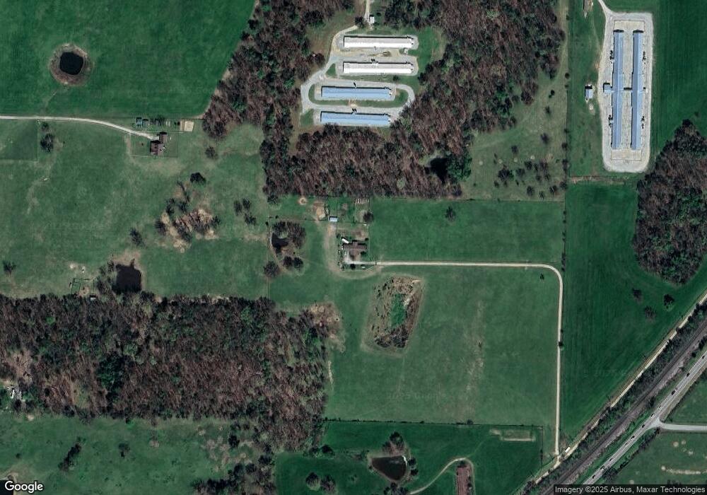
Map
Nearby Homes
- 2630 NW Peterson Rd
- 2620 NW Peterson Rd
- 2610 NW Peterson Rd
- 2600 NW Peterson Rd
- 2540 NW Peterson Rd
- 2530 NW Peterson Rd
- 2520 NW Peterson Rd
- 0 Peterson Rd Unit 1322195
- 19072 Floyd Moore Rd
- 18787 Peterson Rd
- 1400 Shankles Rd
- . S Highway 59
- 10721 Shelley Rd
- 800 Buffalo Ave
- 18955 Shankle Rd
- 0 Y City Rd Unit 1301343
- 1392 E Crawford St
- 12041 N Robin Rd
- 9586 Browning Rd
- 1508 Taylor Orchard Rd
- 19439 Floyd Moore Rd
- 19439 Floyd Moore Rd
- 19695 Floyd Moore Rd
- 10811 S Highway 59
- 19479 Floyd Moore Rd
- 19713 Floyd Moore Rd
- 19440 Floyd Moore Rd
- 19768 Floyd Moore Rd
- 19151 Peterson Rd
- Lot 1 Peterson Rd
- TBD 59 Hwy
- 10451 Winningham Rd
- 10638 Winningham Rd
- 19242 Floyd Moore Rd
- 10601 Winningham Rd
- 10840 Winningham Rd
- 19983 Floyd Moore Rd
- 10879 S Highway 59
- 10879 Highway 59
- TBD Winningham Rd