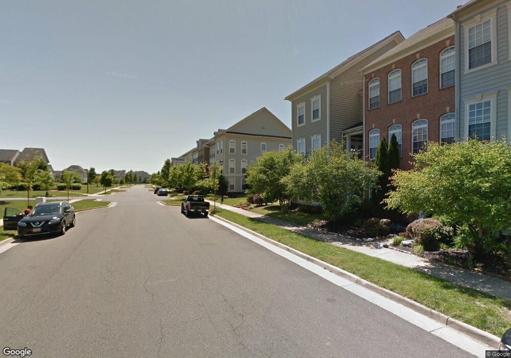
10624 Bristow Station Dr Bristow, VA 20136
Estimated Value: $600,494 - $653,000
3
Beds
2
Baths
2,145
Sq Ft
$291/Sq Ft
Est. Value
About This Home
This home is located at 10624 Bristow Station Dr, Bristow, VA 20136 and is currently estimated at $624,374, approximately $291 per square foot. 10624 Bristow Station Dr is a home located in Prince William County with nearby schools including T. Clay Wood Elementary School, E.H. Marsteller Middle School, and Brentsville District High School.
Ownership History
Date
Name
Owned For
Owner Type
Purchase Details
Closed on
Oct 27, 2005
Sold by
Centex Homes
Bought by
Daita Sastry and Daita Daita,Madhavi S
Current Estimated Value
Home Financials for this Owner
Home Financials are based on the most recent Mortgage that was taken out on this home.
Original Mortgage
$370,300
Outstanding Balance
$199,783
Interest Rate
5.79%
Mortgage Type
New Conventional
Estimated Equity
$424,591
Create a Home Valuation Report for This Property
The Home Valuation Report is an in-depth analysis detailing your home's value as well as a comparison with similar homes in the area
Home Values in the Area
Average Home Value in this Area
Purchase History
| Date | Buyer | Sale Price | Title Company |
|---|---|---|---|
| Daita Sastry | $462,945 | -- |
Source: Public Records
Mortgage History
| Date | Status | Borrower | Loan Amount |
|---|---|---|---|
| Open | Daita Sastry | $370,300 |
Source: Public Records
Tax History Compared to Growth
Tax History
| Year | Tax Paid | Tax Assessment Tax Assessment Total Assessment is a certain percentage of the fair market value that is determined by local assessors to be the total taxable value of land and additions on the property. | Land | Improvement |
|---|---|---|---|---|
| 2025 | $4,787 | $550,300 | $127,200 | $423,100 |
| 2024 | $4,787 | $481,300 | $121,100 | $360,200 |
| 2023 | $4,801 | $461,400 | $118,100 | $343,300 |
| 2022 | $4,884 | $441,000 | $116,600 | $324,400 |
| 2021 | $4,910 | $402,300 | $101,800 | $300,500 |
| 2020 | $6,017 | $388,200 | $101,800 | $286,400 |
| 2019 | $5,658 | $365,000 | $101,800 | $263,200 |
| 2018 | $4,340 | $359,400 | $101,800 | $257,600 |
| 2017 | $4,324 | $350,700 | $101,800 | $248,900 |
| 2016 | $4,265 | $349,200 | $101,800 | $247,400 |
| 2015 | $4,000 | $338,600 | $110,500 | $228,100 |
| 2014 | $4,000 | $320,000 | $103,900 | $216,100 |
Source: Public Records
Map
Nearby Homes
- 11823 Whitworth Cannon Ln
- 10554 Andrew Humphreys Ct
- 11650 Iron Brigade Unit Ave
- 10505 Blazing Star Loop
- 12054 Nokesville Rd
- 11688 Camp Jones Ct
- 12021 Spring Beauty Rd
- 12002 Fitzgerald Way
- 12203 Aster Rd
- 12171 Open Meadow Ln
- 9923 Bagpipe Ct
- 12360 Corncrib Ct
- The Sienna Plan at Woodlawn Estates
- The Jocelyn Plan at Woodlawn Estates
- The Lawrence Plan at Woodlawn Estates
- The Emma Plan at Woodlawn Estates
- 10024 Darnaway Ct
- 12410 Iona Sound Dr
- 11862 Arcari Dr
- 12127 & 12131 Vint Hill Rd
- 10626 Bristow Station Dr Unit 371
- 10626 Bristow Station Dr
- 10628 Bristow Station Dr
- 10620 Bristow Station Dr
- 10630 Bristow Station Dr
- 10632 Bristow Station Dr
- 10618 Bristow Station Dr
- 10616 Bristow Station Dr
- 10634 Bristow Station Dr
- 10614 Bristow Station Dr
- 10619 Bristow Station Dr
- 10612 Bristow Station Dr
- 10575 Poagues Battery Dr
- 10610 Bristow Station Dr
- 10638 Bristow Station Dr
- 10671 General Kirkland Dr
- 10569 Poagues Battery Dr
- 10617 Bristow Station Dr
- 10640 Bristow Station Dr
- 10585 Poagues Battery Dr