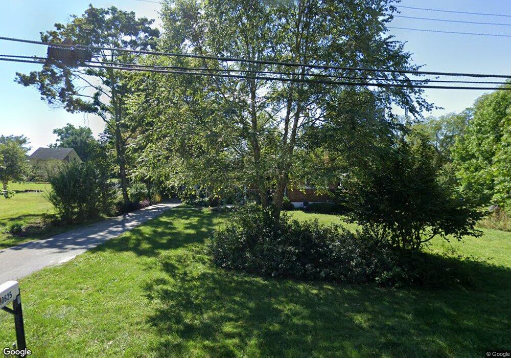
10625 Saint Paul Ave Woodstock, MD 21163
Woodstock NeighborhoodEstimated Value: $394,000 - $496,000
--
Bed
2
Baths
1,735
Sq Ft
$254/Sq Ft
Est. Value
About This Home
This home is located at 10625 Saint Paul Ave, Woodstock, MD 21163 and is currently estimated at $439,858, approximately $253 per square foot. 10625 Saint Paul Ave is a home located in Baltimore County with nearby schools including Hernwood Elementary School, Deer Park Middle Magnet School, and New Town High.
Ownership History
Date
Name
Owned For
Owner Type
Purchase Details
Closed on
Oct 19, 2016
Sold by
Teller Robert C
Bought by
Teller Robert C and Diemer Maribeth
Current Estimated Value
Home Financials for this Owner
Home Financials are based on the most recent Mortgage that was taken out on this home.
Original Mortgage
$71,000
Outstanding Balance
$8,932
Interest Rate
3.47%
Mortgage Type
New Conventional
Estimated Equity
$430,926
Purchase Details
Closed on
Apr 16, 2004
Sold by
Cook William George
Bought by
Teller Robert C
Create a Home Valuation Report for This Property
The Home Valuation Report is an in-depth analysis detailing your home's value as well as a comparison with similar homes in the area
Home Values in the Area
Average Home Value in this Area
Purchase History
| Date | Buyer | Sale Price | Title Company |
|---|---|---|---|
| Teller Robert C | -- | Marvel Title & Escrow Llc | |
| Teller Robert C | $290,000 | -- |
Source: Public Records
Mortgage History
| Date | Status | Borrower | Loan Amount |
|---|---|---|---|
| Open | Teller Robert C | $71,000 |
Source: Public Records
Tax History Compared to Growth
Tax History
| Year | Tax Paid | Tax Assessment Tax Assessment Total Assessment is a certain percentage of the fair market value that is determined by local assessors to be the total taxable value of land and additions on the property. | Land | Improvement |
|---|---|---|---|---|
| 2025 | $3,581 | $311,733 | -- | -- |
| 2024 | $3,581 | $291,800 | $77,100 | $214,700 |
| 2023 | $1,741 | $282,400 | $0 | $0 |
| 2022 | $3,175 | $273,000 | $0 | $0 |
| 2021 | $3,238 | $263,600 | $77,100 | $186,500 |
| 2020 | $52 | $262,200 | $0 | $0 |
| 2019 | $3,221 | $260,800 | $0 | $0 |
| 2018 | $52 | $259,400 | $75,300 | $184,100 |
| 2017 | $52 | $259,400 | $0 | $0 |
| 2016 | $2,761 | $259,400 | $0 | $0 |
| 2015 | $2,761 | $262,700 | $0 | $0 |
| 2014 | $2,761 | $262,700 | $0 | $0 |
Source: Public Records
Map
Nearby Homes
- 10628 Saint Paul Ave
- 10719 Old Court Rd
- 10645 Davis Ave
- 10313 Cavey Ln
- 9113 Dogwood Rd
- 3200 Peddicoat Ct
- 10655 Breezewood Dr
- 1800 Mount Denali Dr
- 9605 Mendoza Rd
- 10170 Green Clover Dr
- 3517 Kings Point Rd
- 10301 Marriottsville Rd
- 3525 Cabot Rd
- 10520 Marriottsville Rd
- 3618 Granite Rd
- 10174 Tracy Beth Ct
- 10185 Green Clover Dr
- 10205 Cabery Rd
- 2331 Ridge Tree Ct
- 10162 Bracken Dr
- 2711 Hernwood Rd
- 2803 Hernwood Rd
- 10623 Saint Paul Ave
- 10622 Saint Paul Ave
- 2707 Hernwood Rd
- 10621 Saint Paul Ave
- 10626 Saint Paul Ave
- 2704 Hernwood Rd
- 10636 Old Court Rd
- 2703 Hernwood Rd
- 10618 Saint Paul Ave
- 10617 Saint Paul Ave
- 10700 Old Court Rd
- 10615 Saint Paul Ave
- 10639 Old Court Rd
- 10635 Old Court Rd
- 10701 Old Court Rd
- 10630 Old Court Rd
- 10611 Saint Paul Ave
- 3 Offutt Ct