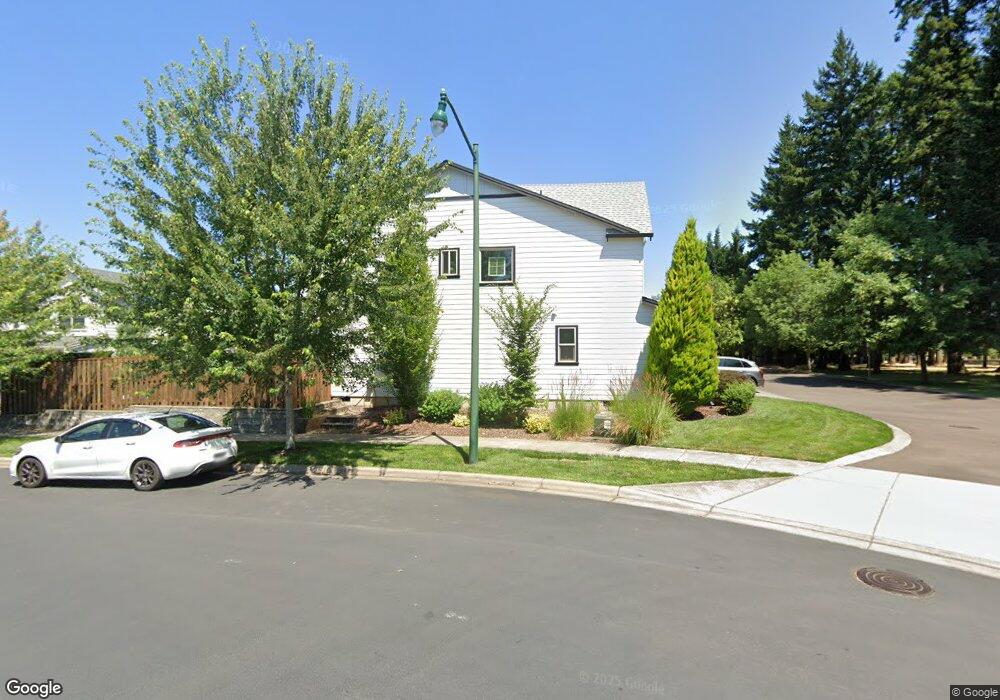
1063 Andy Ave Forest Grove, Or, OR 97116
Estimated Value: $607,000 - $682,000
3
Beds
3
Baths
2,430
Sq Ft
$267/Sq Ft
Est. Value
About This Home
This home is located at 1063 Andy Ave, Forest Grove, Or, OR 97116 and is currently estimated at $648,250, approximately $266 per square foot. 1063 Andy Ave is a home located in Washington County with nearby schools including Dilley Elementary School, Tom McCall Upper Elementary School, and Neil Armstrong Middle School.
Ownership History
Date
Name
Owned For
Owner Type
Purchase Details
Closed on
Apr 22, 2025
Sold by
Whitesell Mark and Whitesell Jannelle
Bought by
Whitesell Living Trust and Whitesell
Current Estimated Value
Purchase Details
Closed on
Apr 17, 2017
Sold by
Stone Bridge Homes Nw Llc
Bought by
Whitesell Mark and Whitesell Jannelle
Home Financials for this Owner
Home Financials are based on the most recent Mortgage that was taken out on this home.
Original Mortgage
$368,000
Interest Rate
4.21%
Mortgage Type
New Conventional
Create a Home Valuation Report for This Property
The Home Valuation Report is an in-depth analysis detailing your home's value as well as a comparison with similar homes in the area
Home Values in the Area
Average Home Value in this Area
Purchase History
| Date | Buyer | Sale Price | Title Company |
|---|---|---|---|
| Whitesell Living Trust | -- | None Listed On Document | |
| Whitesell Mark | $466,423 | First American |
Source: Public Records
Mortgage History
| Date | Status | Borrower | Loan Amount |
|---|---|---|---|
| Previous Owner | Whitesell Mark | $368,000 |
Source: Public Records
Tax History Compared to Growth
Tax History
| Year | Tax Paid | Tax Assessment Tax Assessment Total Assessment is a certain percentage of the fair market value that is determined by local assessors to be the total taxable value of land and additions on the property. | Land | Improvement |
|---|---|---|---|---|
| 2026 | $6,322 | $355,010 | -- | -- |
| 2025 | $6,322 | $344,670 | -- | -- |
| 2024 | $6,099 | $334,640 | -- | -- |
| 2023 | $6,099 | $324,900 | $0 | $0 |
| 2022 | $5,333 | $324,900 | $0 | $0 |
| 2021 | $5,264 | $306,260 | $0 | $0 |
| 2020 | $5,235 | $297,340 | $0 | $0 |
| 2019 | $5,119 | $288,680 | $0 | $0 |
| 2018 | $4,962 | $280,280 | $0 | $0 |
| 2017 | $4,808 | $272,120 | $0 | $0 |
| 2016 | $1,045 | $59,070 | $0 | $0 |
Source: Public Records
Map
Nearby Homes
- 1078 Vista Oaks Dr
- 2517 Sweetwood Ct
- 1222 Brookside Ave
- 2440 Heather Way
- 1315 Begonia Ave
- 1104 Magnolia Way
- 1316 19th Place
- 1609 Camino Dr
- 1611 Camino Dr
- 1294 19th Ave
- 2108 D St
- 1425 Willamina Ave
- 1419 19th Ave
- 2819 Buxton St
- 2341 Turnbull Ct
- 1569 19th Ave
- 1540 19th Ave
- 2327 Turnbull Ct
- 1718 23rd Ave
- 1494 18th Ave
- 1069 Andy Ave
- 1075 Andy Ave
- 1058 Andy Ave
- 1064 Andy Ave
- 1051 Andy Ave
- 1081 Andy Ave
- 2427 Sablewood Ct
- 1052 Andy Ave
- 1052 Andy Ave
- 2433 Sablewood Ct
- 1043 Andy Ave
- 1087 Andy Ave
- 1046 Andy Ave
- 1061 Vista Oaks Dr
- 1061 Vista Oaks Dr
- 2439 Sablewood Ct
- 1055 Vista Oaks Dr
- 1040 Andy Ave
- 1079 Vista Oaks Dr
- 1037 Andy Ave