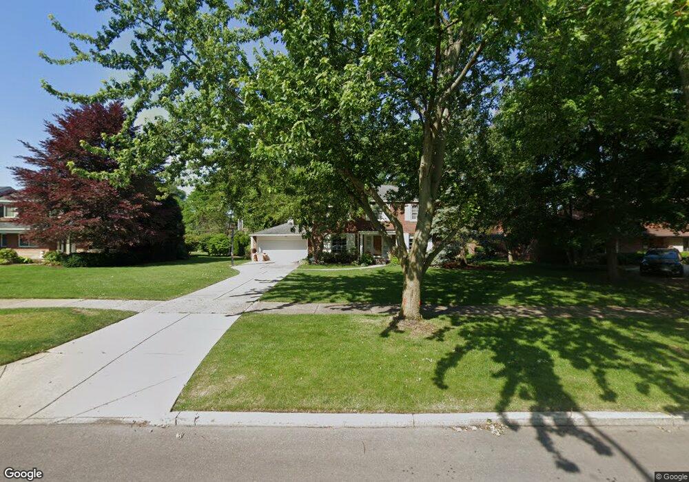
1063 Devonshire Rd Grosse Pointe Park, MI 48230
Estimated Value: $608,000 - $640,000
3
Beds
3
Baths
2,084
Sq Ft
$297/Sq Ft
Est. Value
About This Home
This home is located at 1063 Devonshire Rd, Grosse Pointe Park, MI 48230 and is currently estimated at $618,054, approximately $296 per square foot. 1063 Devonshire Rd is a home located in Wayne County with nearby schools including George Defer Elementary School, Pierce Middle School, and Grosse Pointe South High School.
Ownership History
Date
Name
Owned For
Owner Type
Purchase Details
Closed on
Jun 11, 2011
Sold by
Crawford Brian K and Crawford Marquita
Bought by
Crawford Brian K and Crawford Marquita
Current Estimated Value
Home Financials for this Owner
Home Financials are based on the most recent Mortgage that was taken out on this home.
Original Mortgage
$159,200
Interest Rate
4.75%
Mortgage Type
New Conventional
Purchase Details
Closed on
Dec 13, 2006
Sold by
Crawford Brian K and Crawford Marquita
Bought by
The Crawford Family Trust
Purchase Details
Closed on
Jun 2, 1995
Sold by
Grams Darrell M
Bought by
Crawford Marquita and Crawford Brian K
Purchase Details
Closed on
May 23, 1994
Sold by
Zerega Patricia A
Bought by
Dennis Zerega W
Create a Home Valuation Report for This Property
The Home Valuation Report is an in-depth analysis detailing your home's value as well as a comparison with similar homes in the area
Home Values in the Area
Average Home Value in this Area
Purchase History
| Date | Buyer | Sale Price | Title Company |
|---|---|---|---|
| Crawford Brian K | -- | Lsi Lps | |
| The Crawford Family Trust | -- | None Available | |
| Crawford Marquita | $26,000 | -- | |
| Dennis Zerega W | $229,500 | -- |
Source: Public Records
Mortgage History
| Date | Status | Borrower | Loan Amount |
|---|---|---|---|
| Closed | Crawford Brian K | $159,200 |
Source: Public Records
Tax History
| Year | Tax Paid | Tax Assessment Tax Assessment Total Assessment is a certain percentage of the fair market value that is determined by local assessors to be the total taxable value of land and additions on the property. | Land | Improvement |
|---|---|---|---|---|
| 2025 | $5,725 | $299,000 | $0 | $0 |
| 2024 | $5,510 | $279,100 | $0 | $0 |
| 2023 | $5,262 | $262,400 | $0 | $0 |
| 2022 | $4,999 | $247,100 | $0 | $0 |
| 2021 | $9,857 | $237,100 | $0 | $0 |
| 2019 | $10,144 | $231,000 | $0 | $0 |
| 2018 | $4,766 | $212,400 | $0 | $0 |
| 2017 | $10,636 | $139,400 | $0 | $0 |
| 2016 | $9,944 | $217,300 | $0 | $0 |
| 2015 | $17,837 | $203,700 | $0 | $0 |
| 2013 | $17,280 | $175,500 | $0 | $0 |
| 2012 | $4,719 | $183,800 | $77,800 | $106,000 |
Source: Public Records
Map
Nearby Homes
- 1206 Balfour St
- 943 Harcourt Rd Unit 45
- 1048 Lakepointe St Unit A
- 74 Pointe Park Place Unit 311
- 32 Pointe Park Place Unit 31
- 1083 Lakepointe St
- 26 Pointe Park Place Unit 303
- 1254 Beaconsfield Ave
- 1338 Somerset Ave
- 815 Harcourt Rd Unit 2
- 814 Harcourt Rd Unit 816
- 796 Harcourt Rd Unit 98
- 1328 Lakepointe St
- 1239 Maryland St
- 1030 Bishop Rd
- 1350 Alter Rd
- 3430 Bedford St
- 1264 Bishop Rd
- 3460 Bedford St
- 2140 Alter Rd
- 1067 Devonshire Rd
- 1059 Devonshire Rd
- 1024 Buckingham Rd
- 1022 Buckingham Rd
- 1055 Devonshire Rd
- 1071 Devonshire Rd
- 1020 Buckingham Rd
- 1036 Buckingham Rd
- 1064 Devonshire Rd
- 1068 Devonshire Rd
- 1060 Devonshire Rd
- 1051 Devonshire Rd
- 1072 Devonshire Rd
- 1056 Devonshire Rd
- 1016 Buckingham Rd
- 1103 Devonshire Rd
- 1100 Buckingham Rd
- 1047 Devonshire Rd
- 1052 Devonshire Rd
- 1075 Bedford Rd
Your Personal Tour Guide
Ask me questions while you tour the home.