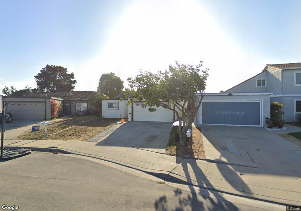
1063 Howe Cir Salinas, CA 93907
Boronda NeighborhoodEstimated Value: $566,649 - $610,000
2
Beds
1
Bath
985
Sq Ft
$601/Sq Ft
Est. Value
About This Home
This home is located at 1063 Howe Cir, Salinas, CA 93907 and is currently estimated at $591,912, approximately $600 per square foot. 1063 Howe Cir is a home located in Monterey County with nearby schools including Laurel Wood Elementary School, Roosevelt Elementary School, and Washington Middle School.
Ownership History
Date
Name
Owned For
Owner Type
Purchase Details
Closed on
Oct 17, 2002
Sold by
Glasure Thomas W and Glasure Jamie A
Bought by
Gordon Tisha D and Isla Manuel A
Current Estimated Value
Home Financials for this Owner
Home Financials are based on the most recent Mortgage that was taken out on this home.
Original Mortgage
$244,545
Outstanding Balance
$101,999
Interest Rate
6.09%
Mortgage Type
FHA
Estimated Equity
$489,913
Create a Home Valuation Report for This Property
The Home Valuation Report is an in-depth analysis detailing your home's value as well as a comparison with similar homes in the area
Home Values in the Area
Average Home Value in this Area
Purchase History
We collect this data history from publicly available records. To have your information removed, we recommend requesting removal directly through your county’s website.
| Date | Buyer | Sale Price | Title Company |
|---|---|---|---|
| Gordon Tisha D | $248,000 | Chicago Title Co |
Source: Public Records
Mortgage History
We collect this data history from publicly available records. To have your information removed, we recommend requesting removal directly through your county’s website.
| Date | Status | Borrower | Loan Amount |
|---|---|---|---|
| Open | Gordon Tisha D | $244,545 | |
| Closed | Gordon Tisha D | $7,440 |
Source: Public Records
Tax History
| Year | Tax Paid | Tax Assessment Tax Assessment Total Assessment is a certain percentage of the fair market value that is determined by local assessors to be the total taxable value of land and additions on the property. | Land | Improvement |
|---|---|---|---|---|
| 2025 | $4,056 | $359,179 | $217,248 | $141,931 |
| 2024 | $4,056 | $352,138 | $212,989 | $139,149 |
| 2023 | $3,918 | $345,234 | $208,813 | $136,421 |
| 2022 | $3,770 | $338,466 | $204,719 | $133,747 |
| 2021 | $3,620 | $331,830 | $200,705 | $131,125 |
| 2020 | $3,519 | $328,429 | $198,648 | $129,781 |
| 2019 | $3,492 | $321,990 | $194,753 | $127,237 |
| 2018 | $3,446 | $315,678 | $190,935 | $124,743 |
| 2017 | $3,447 | $309,490 | $187,192 | $122,298 |
| 2016 | $3,340 | $294,000 | $178,000 | $116,000 |
| 2015 | $3,102 | $267,000 | $161,000 | $106,000 |
| 2014 | $2,392 | $217,000 | $131,000 | $86,000 |
Source: Public Records
Map
Nearby Homes
- 1067 Howe Cir
- 1059 Howe Cir
- 1071 Howe Cir
- 1019 Sherman Dr
- 1023 Sherman Dr
- 1075 Howe Cir
- 1015 Sherman Dr
- 1056 Howe Cir
- 813 Howe Dr
- 1045 Sherman Dr
- 1049 Sherman Dr
- 811 Howe Dr
- 1041 Sherman Dr Unit 2
- 1053 Sherman Dr
- 1081 Howe Cir
- 1052 Howe Cir
- 1011 Sherman Dr
- 1057 Sherman Dr Unit 2
- 825 Howe Dr Unit 2
- 1074 Howe Cir
Your Personal Tour Guide
Ask me questions while you tour the home.