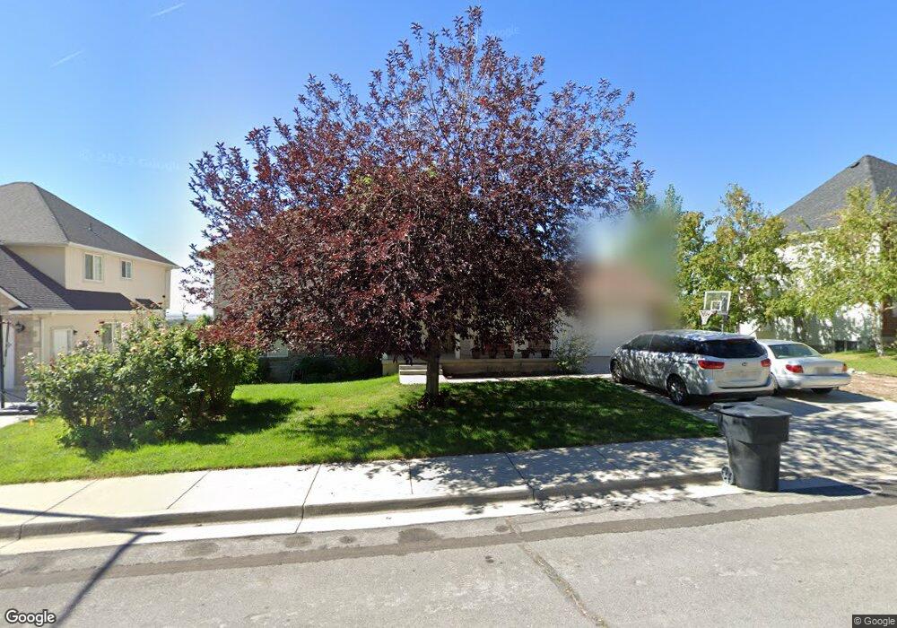
1063 N 700 E Springville, UT 84663
Little Rock Canyon NeighborhoodEstimated Value: $512,000 - $528,410
4
Beds
3
Baths
2,914
Sq Ft
$179/Sq Ft
Est. Value
About This Home
This home is located at 1063 N 700 E, Springville, UT 84663 and is currently estimated at $521,470, approximately $178 per square foot. 1063 N 700 E is a home located in Utah County with nearby schools including Art City School, Springville Junior High School, and Springville High School.
Ownership History
Date
Name
Owned For
Owner Type
Purchase Details
Closed on
Nov 1, 2023
Sold by
Bolke Benjamin S and Bolke Amy
Bought by
Scow Amy
Current Estimated Value
Home Financials for this Owner
Home Financials are based on the most recent Mortgage that was taken out on this home.
Original Mortgage
$183,100
Outstanding Balance
$179,712
Interest Rate
7.19%
Mortgage Type
New Conventional
Estimated Equity
$341,758
Purchase Details
Closed on
Feb 29, 2012
Sold by
James Michael R and James Connie S
Bought by
Bolke Benjamin S and Bolke Amy L
Home Financials for this Owner
Home Financials are based on the most recent Mortgage that was taken out on this home.
Original Mortgage
$136,000
Interest Rate
3.83%
Mortgage Type
New Conventional
Purchase Details
Closed on
Nov 22, 1999
Sold by
Klauck Michael W
Bought by
James Michael R and James Connie S
Home Financials for this Owner
Home Financials are based on the most recent Mortgage that was taken out on this home.
Original Mortgage
$168,600
Interest Rate
7.82%
Create a Home Valuation Report for This Property
The Home Valuation Report is an in-depth analysis detailing your home's value as well as a comparison with similar homes in the area
Home Values in the Area
Average Home Value in this Area
Purchase History
| Date | Buyer | Sale Price | Title Company |
|---|---|---|---|
| Scow Amy | -- | Onrecord Title | |
| Bolke Benjamin S | -- | None Available | |
| James Michael R | -- | Provo Land Title Company |
Source: Public Records
Mortgage History
| Date | Status | Borrower | Loan Amount |
|---|---|---|---|
| Open | Scow Amy | $183,100 | |
| Previous Owner | Bolke Benjamin S | $136,000 | |
| Previous Owner | James Michael R | $168,600 |
Source: Public Records
Tax History
| Year | Tax Paid | Tax Assessment Tax Assessment Total Assessment is a certain percentage of the fair market value that is determined by local assessors to be the total taxable value of land and additions on the property. | Land | Improvement |
|---|---|---|---|---|
| 2025 | $2,315 | $263,725 | -- | -- |
| 2024 | $2,315 | $237,160 | $0 | $0 |
| 2023 | $2,235 | $229,185 | $0 | $0 |
| 2022 | $2,502 | $252,010 | $0 | $0 |
| 2021 | $2,189 | $343,200 | $119,900 | $223,300 |
| 2020 | $2,086 | $317,100 | $99,900 | $217,200 |
| 2019 | $1,826 | $282,500 | $93,000 | $189,500 |
| 2018 | $1,827 | $269,700 | $82,700 | $187,000 |
| 2017 | $1,810 | $141,900 | $0 | $0 |
| 2016 | $1,694 | $130,240 | $0 | $0 |
| 2015 | $1,657 | $130,240 | $0 | $0 |
| 2014 | $1,639 | $127,985 | $0 | $0 |
Source: Public Records
Map
Nearby Homes
Your Personal Tour Guide
Ask me questions while you tour the home.