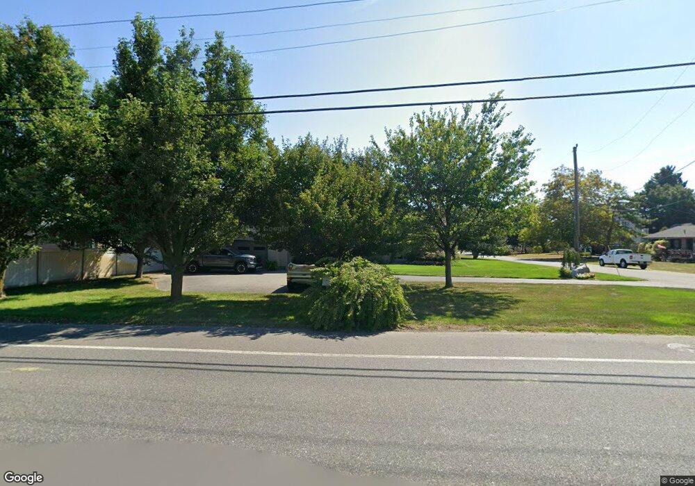
1063 Seashore Rd Cape May, NJ 08204
Estimated Value: $1,083,000 - $1,503,000
--
Bed
--
Bath
3,303
Sq Ft
$372/Sq Ft
Est. Value
About This Home
This home is located at 1063 Seashore Rd, Cape May, NJ 08204 and is currently estimated at $1,227,401, approximately $371 per square foot. 1063 Seashore Rd is a home located in Cape May County with nearby schools including Carl T. Mitnick School, David C. Douglass Veterans Memorial School, and Maud Abrams School.
Ownership History
Date
Name
Owned For
Owner Type
Purchase Details
Closed on
Nov 15, 2012
Sold by
Citrino Timothy M
Bought by
Linnington James J
Current Estimated Value
Purchase Details
Closed on
Nov 18, 2004
Sold by
Linnington Michael S and Linnington Carl T
Bought by
Citrino Timothy and Linnington James
Purchase Details
Closed on
Jun 16, 1997
Sold by
Bowman O Dorothy
Bought by
Linnington John and Linnington Rita
Home Financials for this Owner
Home Financials are based on the most recent Mortgage that was taken out on this home.
Original Mortgage
$138,000
Interest Rate
7.87%
Create a Home Valuation Report for This Property
The Home Valuation Report is an in-depth analysis detailing your home's value as well as a comparison with similar homes in the area
Home Values in the Area
Average Home Value in this Area
Purchase History
| Date | Buyer | Sale Price | Title Company |
|---|---|---|---|
| Linnington James J | -- | The Title Company Of Jersey | |
| Citrino Timothy | $240,000 | The Title Company Of Jersey | |
| Linnington John | $173,000 | -- |
Source: Public Records
Mortgage History
| Date | Status | Borrower | Loan Amount |
|---|---|---|---|
| Previous Owner | Linnington John | $138,000 |
Source: Public Records
Tax History Compared to Growth
Tax History
| Year | Tax Paid | Tax Assessment Tax Assessment Total Assessment is a certain percentage of the fair market value that is determined by local assessors to be the total taxable value of land and additions on the property. | Land | Improvement |
|---|---|---|---|---|
| 2025 | $9,479 | $467,400 | $186,300 | $281,100 |
| 2024 | $9,479 | $467,400 | $186,300 | $281,100 |
| 2023 | $9,343 | $467,400 | $186,300 | $281,100 |
| 2022 | $9,058 | $467,400 | $186,300 | $281,100 |
| 2021 | $8,330 | $467,400 | $186,300 | $281,100 |
| 2020 | $8,647 | $467,400 | $186,300 | $281,100 |
| 2019 | $8,432 | $467,400 | $186,300 | $281,100 |
| 2018 | $8,231 | $467,400 | $186,300 | $281,100 |
| 2017 | $8,240 | $467,400 | $186,300 | $281,100 |
| 2016 | $8,114 | $467,400 | $186,300 | $281,100 |
| 2015 | $7,852 | $467,400 | $186,300 | $281,100 |
| 2014 | $7,595 | $467,400 | $186,300 | $281,100 |
Source: Public Records
Map
Nearby Homes
- 1062 Seashore Rd
- 1083 Seashore Rd
- 1036 Seashore Rd
- 1031 Seashore Rd
- 123 Stimpson Ln
- 1023 Shunpike Rd
- 1024 Shunpike Rd
- 59 Westwood Dr
- 735 Maple Ave
- 605 Bayshore Rd
- 1204 Wilson Dr Unit 1st Floor
- 1204 Wilson Dr Unit 1st
- 880 1st Ave Unit 1
- 880 1st Ave Unit 2
- 1200 Wilson Dr
- 111 Leaming Ave
- 1252 Route 109 Unit 1252 Rte 1
- 424 Portsmouth Rd
- 1242 New Jersey 109
- 1242 Route 109
- 1061 Seashore Rd
- 804 Farmstead Ave
- 804 Mayflower Ave
- 807 Mayflower Ave
- 806 Farmstead Ave
- 808 Mayflower Ave
- 808 Farmstead Ave
- 804 Cold Spring Ave
- 1057 Seashore Rd
- 806 Cold Spring Ave
- 810 Farmstead Ave
- 810 Mayflower Ave
- 810 Cold Spring Ave
- 1058 Seashore Rd
- 811 Mayflower Ave
- 812 Cold Spring Ave
- 1071 Seashore Rd
- 805 Farmstead Ave
- 803 Cold Spring Ave
- 1 Strawberry Ln