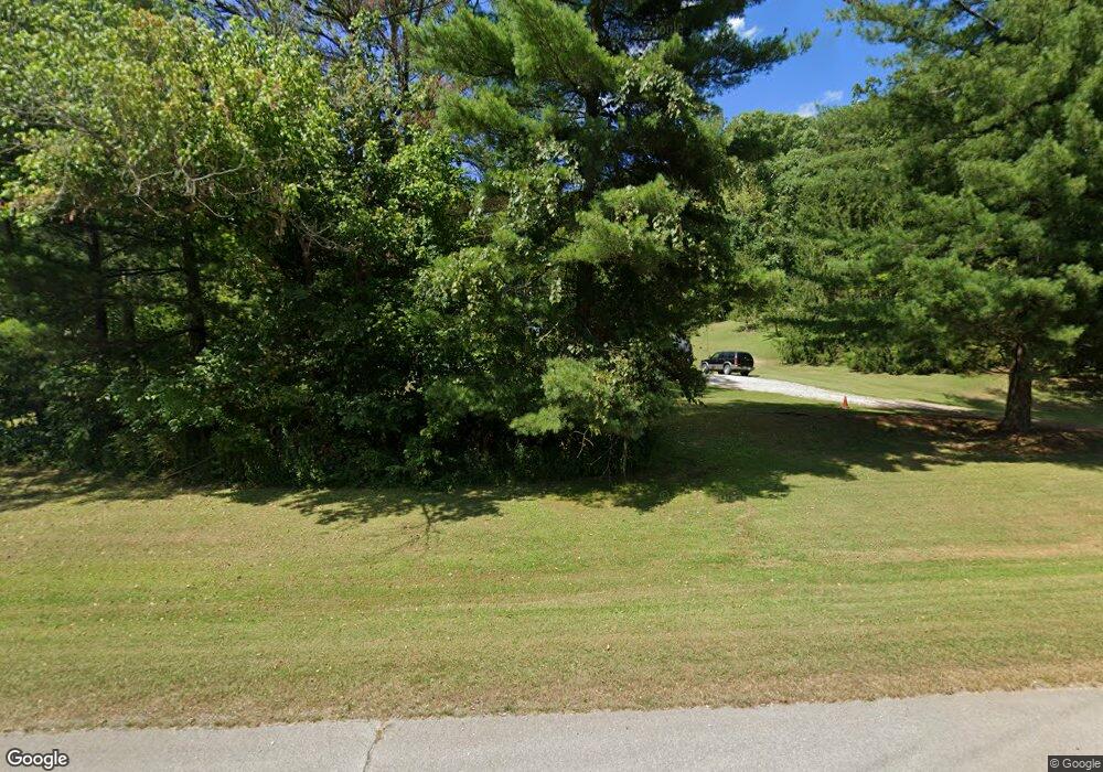
1063 State Route 821 Marietta, OH 45750
Estimated Value: $178,946 - $325,000
4
Beds
2
Baths
1,470
Sq Ft
$161/Sq Ft
Est. Value
About This Home
This home is located at 1063 State Route 821, Marietta, OH 45750 and is currently estimated at $236,987, approximately $161 per square foot. 1063 State Route 821 is a home located in Washington County with nearby schools including Marietta High School, St. Mary Catholic School, and Marietta Christian School.
Ownership History
Date
Name
Owned For
Owner Type
Purchase Details
Closed on
Jun 21, 2017
Sold by
Billingsley Robert and Billingsley Michelle
Bought by
Broughton George William and Broughton Nancy R
Current Estimated Value
Purchase Details
Closed on
Sep 24, 1999
Bought by
Billingsley Robert C
Purchase Details
Closed on
Dec 8, 1998
Bought by
Weaver William E
Purchase Details
Closed on
Jul 9, 1992
Bought by
Weaver William E and Weaver Linda
Create a Home Valuation Report for This Property
The Home Valuation Report is an in-depth analysis detailing your home's value as well as a comparison with similar homes in the area
Home Values in the Area
Average Home Value in this Area
Purchase History
| Date | Buyer | Sale Price | Title Company |
|---|---|---|---|
| Broughton George William | $42,100 | Attorney | |
| Billingsley Robert C | -- | Attorney | |
| Sellers Abraham | -- | Attorney | |
| Billingsley Robert C | $55,000 | -- | |
| Weaver William E | -- | -- | |
| Weaver William E | $52,000 | -- |
Source: Public Records
Tax History Compared to Growth
Tax History
| Year | Tax Paid | Tax Assessment Tax Assessment Total Assessment is a certain percentage of the fair market value that is determined by local assessors to be the total taxable value of land and additions on the property. | Land | Improvement |
|---|---|---|---|---|
| 2024 | $1,400 | $39,090 | $14,020 | $25,070 |
| 2023 | $1,400 | $39,090 | $14,020 | $25,070 |
| 2022 | $1,390 | $39,090 | $14,020 | $25,070 |
| 2021 | $1,199 | $31,580 | $11,830 | $19,750 |
| 2020 | $1,199 | $31,580 | $11,830 | $19,750 |
| 2019 | $1,202 | $31,580 | $11,830 | $19,750 |
| 2018 | $1,075 | $27,310 | $9,860 | $17,450 |
| 2017 | $1,072 | $27,310 | $9,860 | $17,450 |
| 2016 | $1,903 | $27,920 | $10,470 | $17,450 |
| 2015 | $1,036 | $25,290 | $10,060 | $15,230 |
| 2014 | $1,727 | $25,290 | $10,060 | $15,230 |
| 2013 | $1,046 | $25,290 | $10,060 | $15,230 |
Source: Public Records
Map
Nearby Homes
- 107 Country Meadow Dr
- 2585 Glendale Rd
- 520 Millgate Rd
- 123 Deerwalk Cir
- 120 Meadow Ln
- 105 Woodcrest Dr
- 0 Academy Dr
- 8 Mountain Laurel Dr
- 6 Mountain Laurel Dr
- 5 Mountain Laurel Dr
- 3 Mountain Laurel Dr
- 0 Mountain Laurel Dr
- 101 Winters Dr
- 120 Woodcrest Dr
- 1099 Colegate Dr
- 1 Hickory Ln
- 111 Hanson Dr
- 132 Mound Dr
- 332 Muskingum Dr
- 315 Muskingum Dr
- 1001 State Route 821
- 943 State Route 821
- 1302 State Route 821 Unit 1272
- 1302 State Route 821
- 1302 State Route 821
- 1302 State Route 821
- 1302 State Route 821
- 869 State Route 821
- 1350 State Route 821
- 841 State Route 821
- 1456 State Route 821
- 1456 State Route 821
- 1431 State Route 821
- 1176 River Rd
- 1490 State Route 821
- 1540 State Route 821
- 1540 State Route 821
- 1580 Ohio 821
- 771 State Route 821
- 677 State Route 821
