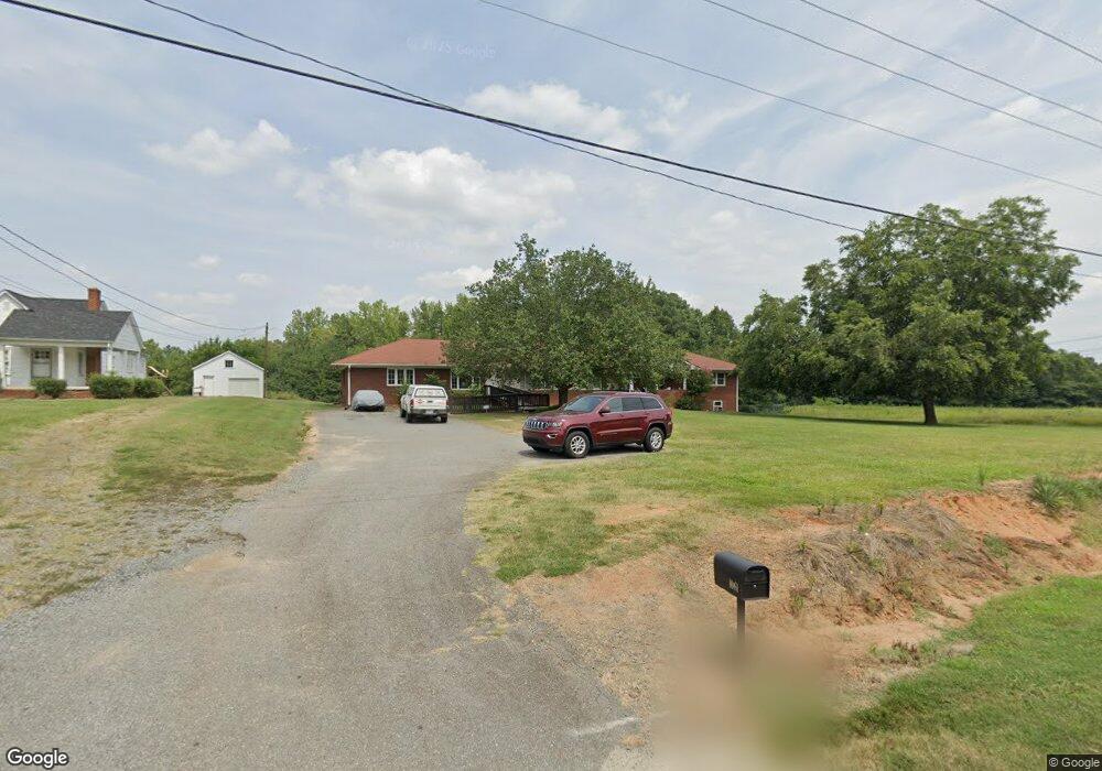
1063 Union St S Concord, NC 28025
Estimated Value: $420,267 - $554,000
4
Beds
2
Baths
2,760
Sq Ft
$171/Sq Ft
Est. Value
About This Home
This home is located at 1063 Union St S, Concord, NC 28025 and is currently estimated at $471,567, approximately $170 per square foot. 1063 Union St S is a home located in Cabarrus County with nearby schools including R Brown Mcallister STEMElementary, Concord Middle School, and Concord High School.
Ownership History
Date
Name
Owned For
Owner Type
Purchase Details
Closed on
Oct 3, 2011
Sold by
Frye Jason L and Frye Jennifer
Bought by
Coldwater Baptist Church
Current Estimated Value
Home Financials for this Owner
Home Financials are based on the most recent Mortgage that was taken out on this home.
Original Mortgage
$152,000
Interest Rate
4.24%
Mortgage Type
Future Advance Clause Open End Mortgage
Purchase Details
Closed on
May 10, 2010
Sold by
Frye Brian K and Frye Margaret
Bought by
Frye Brian K
Create a Home Valuation Report for This Property
The Home Valuation Report is an in-depth analysis detailing your home's value as well as a comparison with similar homes in the area
Home Values in the Area
Average Home Value in this Area
Purchase History
| Date | Buyer | Sale Price | Title Company |
|---|---|---|---|
| Coldwater Baptist Church | $190,000 | None Available | |
| Frye Brian K | -- | None Available |
Source: Public Records
Mortgage History
| Date | Status | Borrower | Loan Amount |
|---|---|---|---|
| Closed | Coldwater Baptist Church | $152,000 |
Source: Public Records
Tax History Compared to Growth
Tax History
| Year | Tax Paid | Tax Assessment Tax Assessment Total Assessment is a certain percentage of the fair market value that is determined by local assessors to be the total taxable value of land and additions on the property. | Land | Improvement |
|---|---|---|---|---|
| 2025 | $4,098 | $411,480 | $55,000 | $356,480 |
| 2024 | $4,098 | $411,480 | $55,000 | $356,480 |
| 2023 | $3,545 | $290,600 | $36,000 | $254,600 |
| 2022 | $3,545 | $290,600 | $36,000 | $254,600 |
| 2021 | $3,545 | $290,600 | $36,000 | $254,600 |
| 2020 | $3,545 | $290,600 | $36,000 | $254,600 |
| 2019 | $3,258 | $267,020 | $27,000 | $240,020 |
| 2018 | $3,204 | $267,020 | $27,000 | $240,020 |
| 2017 | $3,151 | $267,020 | $27,000 | $240,020 |
| 2016 | $1,805 | $243,140 | $27,000 | $216,140 |
| 2015 | -- | $243,140 | $27,000 | $216,140 |
| 2014 | -- | $243,140 | $27,000 | $216,140 |
Source: Public Records
Map
Nearby Homes
- 29 Plott Dr SW
- 138 Pointer Ct SE
- 79 Cumberland Ct SW
- 94 Cumberland Ct SW
- 142 Cottontail Ln SE
- 153 Cottontail Ln SE Unit 46
- 34 Rollingwood Dr SE
- 24 Doris Ct SE
- 768 Millbrook Ct
- 783 Union St S
- 267 Ikerd Dr SE
- 782 Union St S
- 271 Ikerd Dr SE
- 847 Kathryn Dr SE
- 80 Pounds Ave SW
- 138 Arlington Ave SE
- 148 Woodland Dr SW
- 113 Arlington Ave SE
- 745 Carolyn Dr SE
- 2522 Willow Pond Ln SE
- 1045 Union St S
- 31 Wayne Ct SE
- 1062 Union St S
- 1068 Union St S
- 30 Wayne Ct SE
- 1050 Union St S
- 1080 Union St S
- 25 Wayne Ct SE
- 1082 Union St S
- 1044 Union St S
- 38 Wayne Ct SE
- 1088 Union St S
- 10 Plott Dr SW
- 1034 Union St S
- 33 Plott Dr SW
- 44 Wayne Ct SE
- 37 Plott Dr SW
- 1094 Union St S
- 12 Plott Dr SW
- 1024 Union St S