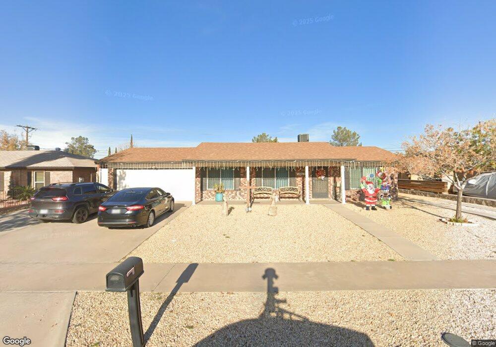
10633 Kinross Ave El Paso, TX 79935
Pebble Hills NeighborhoodEstimated Value: $238,639 - $271,000
--
Bed
2
Baths
1,694
Sq Ft
$148/Sq Ft
Est. Value
About This Home
This home is located at 10633 Kinross Ave, El Paso, TX 79935 and is currently estimated at $251,160, approximately $148 per square foot. 10633 Kinross Ave is a home located in El Paso County with nearby schools including Robbin E L Washington Elementary School, J M Hanks High School, and Jesus Chapel School.
Ownership History
Date
Name
Owned For
Owner Type
Purchase Details
Closed on
Jul 23, 2004
Sold by
Bradley Peter W and Bradley Iris R
Bought by
Narvaiz Juan and Torres Melissa
Current Estimated Value
Home Financials for this Owner
Home Financials are based on the most recent Mortgage that was taken out on this home.
Original Mortgage
$102,600
Outstanding Balance
$51,525
Interest Rate
6.3%
Mortgage Type
Purchase Money Mortgage
Estimated Equity
$199,635
Create a Home Valuation Report for This Property
The Home Valuation Report is an in-depth analysis detailing your home's value as well as a comparison with similar homes in the area
Home Values in the Area
Average Home Value in this Area
Purchase History
| Date | Buyer | Sale Price | Title Company |
|---|---|---|---|
| Narvaiz Juan | -- | -- |
Source: Public Records
Mortgage History
| Date | Status | Borrower | Loan Amount |
|---|---|---|---|
| Open | Narvaiz Juan | $102,600 |
Source: Public Records
Tax History Compared to Growth
Tax History
| Year | Tax Paid | Tax Assessment Tax Assessment Total Assessment is a certain percentage of the fair market value that is determined by local assessors to be the total taxable value of land and additions on the property. | Land | Improvement |
|---|---|---|---|---|
| 2025 | $4,050 | $236,165 | -- | -- |
| 2024 | $4,050 | $214,695 | -- | -- |
| 2023 | $3,782 | $195,177 | $0 | $0 |
| 2022 | $5,510 | $177,434 | $0 | $0 |
| 2021 | $5,243 | $162,444 | $29,130 | $133,314 |
| 2020 | $4,632 | $146,640 | $27,338 | $119,302 |
| 2018 | $4,653 | $149,644 | $27,338 | $122,306 |
| 2017 | $4,198 | $137,323 | $27,338 | $109,985 |
| 2016 | $4,613 | $150,917 | $27,338 | $123,579 |
| 2015 | $3,646 | $150,917 | $27,338 | $123,579 |
| 2014 | $3,646 | $150,910 | $27,338 | $123,572 |
Source: Public Records
Map
Nearby Homes
- 10649 Islerock Dr
- 10605 Kinross Ave Unit B
- 3112 Eads Place
- 3101 Vogue Dr
- 3213 Isla Cocoa Ln
- 3369 Freeport Dr
- 3400 Brookrock St
- 10602 Drillstone Dr
- 3425 Brookrock St
- 10712 Gay Brewer Dr
- 2912 Chaswood St
- 3324 Kilgore Place
- 2801 Brady Place
- 3200 Voss Dr
- 3453 Guthrie St
- 10304 Blackwood Ave
- 10301 Bayo Ave
- 3317 Dungarvan Dr
- 2701 Brady Place
- 10405 Darin Rd
- 10629 10629 Ave
- 10637 Kinross Ave
- 1060 Kinross Unit A
- 10636 Jetrock Dr
- 10641 Kinross Ave
- 3149 Eads Place
- 10632 Jetrock Dr
- 10640 Jetrock Dr Unit 42
- 10640 Jetrock Dr Unit 10640 & 10642
- 10638 Jetrock Dr
- 3156 Edgerock Dr
- 10644 Jetrock Dr
- 10625 Kinross Ave Unit A
- 10625 Kinross Ave Unit B
- 10645 Kinross Ave
- 3145 Eads Place
- 3148 Eads Place
- 3152 Edgerock Dr
- 10628 Jetrock Dr
- 10648 Jetrock Dr Unit 10650