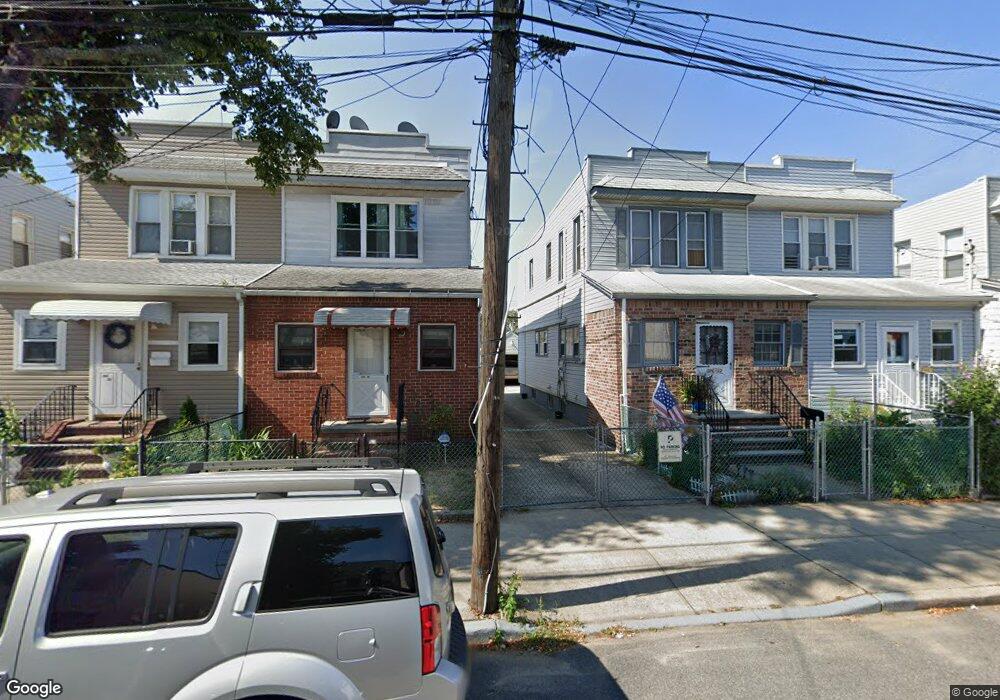
10636 95th St Ozone Park, NY 11417
Ozone Park NeighborhoodEstimated Value: $720,449 - $758,000
--
Bed
--
Bath
1,344
Sq Ft
$547/Sq Ft
Est. Value
About This Home
This home is located at 10636 95th St, Ozone Park, NY 11417 and is currently estimated at $735,612, approximately $547 per square foot. 10636 95th St is a home located in Queens County with nearby schools including P.S. 63 - Old South, Robert H. Goddard High School, and John Adams High School.
Ownership History
Date
Name
Owned For
Owner Type
Purchase Details
Closed on
Mar 7, 2013
Sold by
Fecher Bernice and Fecher Walter F
Bought by
Acosta Hector M
Current Estimated Value
Home Financials for this Owner
Home Financials are based on the most recent Mortgage that was taken out on this home.
Original Mortgage
$272,000
Outstanding Balance
$192,291
Interest Rate
3.58%
Mortgage Type
New Conventional
Estimated Equity
$543,321
Create a Home Valuation Report for This Property
The Home Valuation Report is an in-depth analysis detailing your home's value as well as a comparison with similar homes in the area
Home Values in the Area
Average Home Value in this Area
Purchase History
| Date | Buyer | Sale Price | Title Company |
|---|---|---|---|
| Acosta Hector M | $340,000 | -- |
Source: Public Records
Mortgage History
| Date | Status | Borrower | Loan Amount |
|---|---|---|---|
| Open | Acosta Hector M | $272,000 |
Source: Public Records
Tax History Compared to Growth
Tax History
| Year | Tax Paid | Tax Assessment Tax Assessment Total Assessment is a certain percentage of the fair market value that is determined by local assessors to be the total taxable value of land and additions on the property. | Land | Improvement |
|---|---|---|---|---|
| 2025 | $5,245 | $29,129 | $8,785 | $20,344 |
| 2024 | $5,257 | $27,515 | $8,444 | $19,071 |
| 2023 | $4,986 | $26,225 | $7,852 | $18,373 |
| 2022 | $4,691 | $38,880 | $12,540 | $26,340 |
| 2021 | $4,952 | $34,800 | $12,540 | $22,260 |
| 2020 | $4,842 | $34,560 | $12,540 | $22,020 |
| 2019 | $4,504 | $30,660 | $12,540 | $18,120 |
| 2018 | $3,796 | $21,854 | $9,437 | $12,417 |
| 2017 | $3,590 | $20,780 | $9,738 | $11,042 |
| 2016 | $3,533 | $20,780 | $9,738 | $11,042 |
| 2015 | $1,926 | $20,228 | $12,095 | $8,133 |
| 2014 | $1,926 | $19,108 | $12,630 | $6,478 |
Source: Public Records
Map
Nearby Homes
- 106-38 95th St
- 10719 96th St
- 10723 96th St
- 103-48 96th St
- 92-18 Liberty Ave
- 92-17 Liberty Ave
- 103-47 96th St
- 107-20 92nd St
- 10333 Woodhaven Blvd
- 107-62 93rd St
- 9426 Sutter Ave
- 91-08 Liberty Ave
- 105-11 91st St
- 93-18 103rd Ave
- 9108 Sutter Ave
- 107-50 90th St
- 10751 89th St
- 10159 92nd St
- 101-46 95th St
- 9439 134th Ave
- 10636 95th St
- 10638 95th St
- 10634 95th St
- 106-34 95th St
- 10638 95th St
- 10632 95th St
- 10640 95th St
- 10640 95th St
- 106-30 95th St
- 10630 95th St
- 10525 Crossbay Blvd
- 10628 95th St
- 105-45 Cross Bay Blvd
- 10545 Crossbay Blvd
- 10626 95th St
- 10545 Crossbay Blvd
- 10620 95th St
- 10633 95th St
- 10639 95th St
- 10631 95th St